Crane in Crane County, Texas — The American South (West South Central)
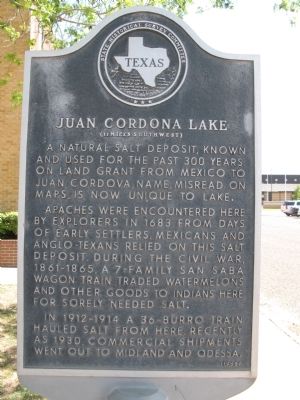
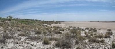
Juan Cordona Lake
(11 Miles Southwest)
Apaches were encountered here by explorers in 1683. From days of early settlers, Mexicans and Anglo-Texans relied on this salt deposit. During the Civil War, 1861-1865, a 7-family San Saba wagon train traded watermelons and other goods to Indians here for sorely needed salt.
In 1912-1914 a 36-burro train hauled salt from here. Recently as 1930, commercial shipments went out to Midland and Odessa.
Erected 1965 by State Historical Survey Committee. (Marker Number 2871.)
Topics. This historical marker is listed in these topic lists: Exploration • Hispanic Americans • Industry & Commerce • Native Americans.
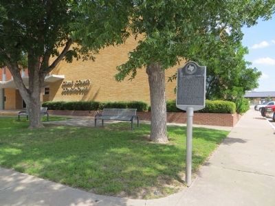
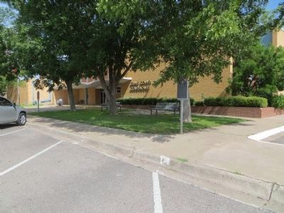
Location. 31° 23.809′ N, 102° 21.128′ W. Marker is in Crane, Texas, in Crane County. Marker is on West 6th Street (State Highway 329) east of South Sue Street, on the right when traveling east. Located in front of the Crane County Courthouse. Touch for map. Marker is at or near this postal address: 201 West 6th Street, Crane TX 79731, United States of America. Touch for directions.
Other nearby markers. At least 5 other markers are within 14 miles of this marker, measured as the crow flies. William Carey Crane (a few steps from this marker); Crane High School (approx. 0.2 miles away); Crane County (approx. 7.4 miles away); Church and Fields Oil Discovery Well (approx. 7.4 miles away); Horse Head Crossing on the Pecos River (approx. 13.6 miles away).
Additional commentary.
1.
A good source for history on Juan Cordona is Patrick Dearen's Castle Gap and the Pecos Frontier. Fort Worth: Texas Christian UP, 1988. Dearen states the Jumano Indians utilized a trail to access and trade salt that ran from their pueblo at La Junta de los Rios (modern day Presido-Ojinaga), crossing the Pecos at a ford that came to be known the Salt Crossing, then onto Juan Cordona.
— Submitted April 28, 2014, by Richard Denney of Austin, Texas.
Credits. This page was last revised on June 8, 2018. It was originally submitted on April 28, 2014, by Richard Denney of Austin, Texas. This page has been viewed 1,375 times since then and 127 times this year. Last updated on June 5, 2018, by Brian Anderson of Humble, Texas. Photos: 1, 2, 3. submitted on April 28, 2014, by Richard Denney of Austin, Texas. 4, 5. submitted on July 14, 2015, by Bill Kirchner of Tucson, Arizona. • Bernard Fisher was the editor who published this page.


