Socorro in El Paso County, Texas — The American South (West South Central)
Socorro
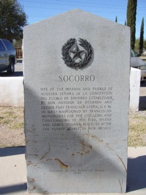
Photographed by Bill Kirchner, November 4, 2010
1. Socorro Marker
Erected 1936 by The State of Texas. (Marker Number 4972.)
Topics and series. This historical marker is listed in these topic lists: Colonial Era • Indigenous Peoples and Communities • Religion & Religious Structures. In addition, it is included in the El Camino Real de Tierra Adentro, and the Texas 1936 Centennial Markers and Monuments series lists. A significant historical year for this entry is 1683.
Location. 31° 39.543′ N, 106° 18.215′ W. Marker is in Socorro, Texas, in El Paso County. It is on South Nevarez Road, on the left when traveling south. Marker is located one block north of intersection of Nevarez and FM 258. Touch for map. Marker is at or near this postal address: 328 South Nevarez Road, El Paso TX 79927, United States of America. Touch for directions.

Regionally,
this page online
Other nearby markers. At least 8 other markers are within 3 miles of this marker, measured as the crow flies: Socorro Mission La Purísima (here, next to this marker); Socorro Mission / Misión de Socorro (here, next to this marker); El Paso Mission Trail / El Camino de las Misiones de El Paso (here, next to this marker); The Camino Real (a few steps from this marker); Casa Ortiz (approx. 0.3 miles away); Rio Vista Farm (approx. 2.2 miles away); Alderete-Candelaria House (approx. 2½ miles away); Ysleta Plaza (approx. 2.6 miles away). Touch for a list and map of all markers in Socorro.
Also see . . . Nuestra Senora de la Limpia Concepcion del Socorro Mission - The Handbook of Texas Online. Texas State Historical Association (TSHA) (Submitted on June 19, 2018, by Brian Anderson of New Albany, Ohio.)

Photographed by Mansfieldphoto.com, October 4, 2025
2. Socorro Marker
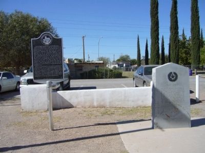
Photographed by Bill Kirchner, November 4, 2010
3. Socorro Marker (on the right)
Socorro Mission La Purísima Marker is on the left.
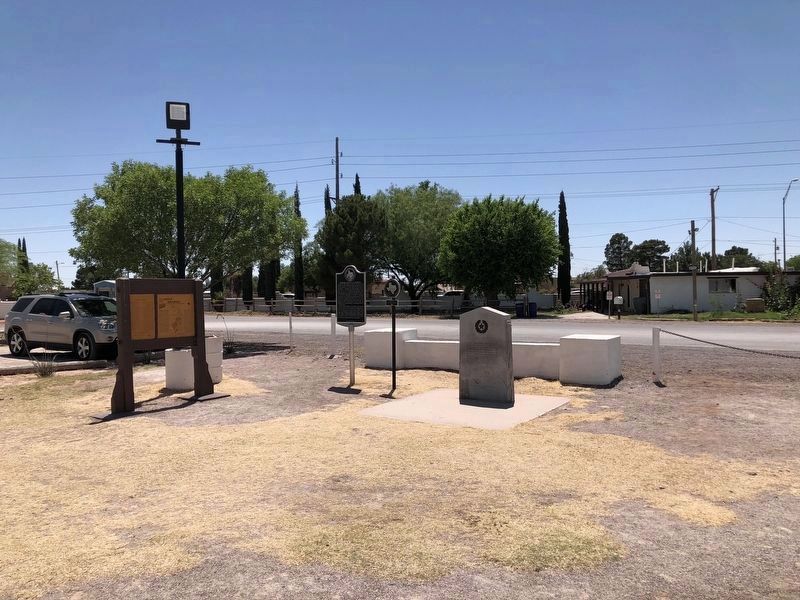
Photographed by Brian Anderson, May 19, 2018
4. Socorro Marker
The historical medallion that was once attached to the mission facade and removed during the restoration, has now placed between the two previously existing markers at the mission site.
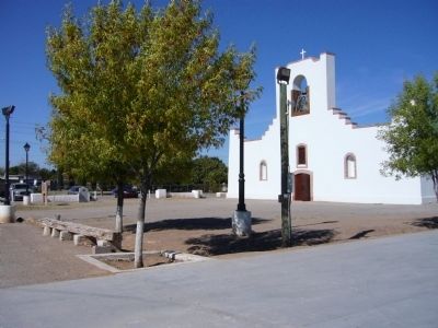
Photographed by Bill Kirchner, November 4, 2010
5. Socorro Mission
Markers are at the far left by the parked cars.
Photographed by Richard Denney, December 26, 2007
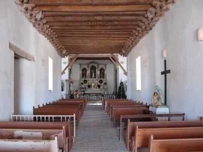
6. Mission Interior
Photographed by Richard Denney, December 26, 2007
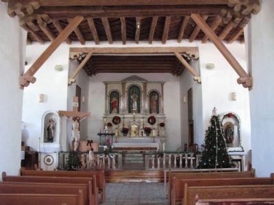
7. Mission Interior
Closeup photo of altar
Photographed by Richard Denney, December 25, 2007
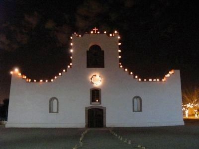
8. Mission at Christmas
Credits. This page was last revised on November 4, 2025. It was originally submitted on November 15, 2010, by Bill Kirchner of Tucson, Arizona. This page has been viewed 1,139 times since then and 41 times this year. Last updated on June 5, 2018, by Brian Anderson of New Albany, Ohio. Photos: 1. submitted on November 15, 2010, by Bill Kirchner of Tucson, Arizona. 2. submitted on November 4, 2025, by James Hulse of Medina, Texas. 3. submitted on November 15, 2010, by Bill Kirchner of Tucson, Arizona. 4. submitted on June 19, 2018, by Brian Anderson of New Albany, Ohio. 5. submitted on November 15, 2010, by Bill Kirchner of Tucson, Arizona. 6, 7, 8. submitted on May 11, 2014, by Richard Denney of Austin, Texas. • Bill Pfingsten was the editor who published this page.
