Wawarsing in Ulster County, New York — The American Northeast (Mid-Atlantic)
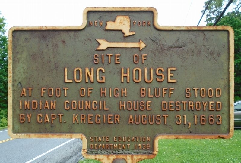
Site of Long House
Photographed by William Fischer, Jr., June 4, 2018
1. Site of Long House Marker
At foot of high bluff stood Indian Council House
destroyed by Capt. Kregier August 31, 1663
Erected 1938 by State Education Department.
Topics. This historical marker is listed in these topic lists: Man-Made Features • Settlements & Settlers • Wars, US Indian. A significant historical date for this entry is August 31, 1663.
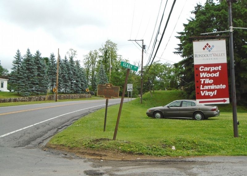
Location. 41° 45.536′ N, 74° 21.434′ W. Marker is in Wawarsing, New York, in Ulster County. It is at the intersection of U.S. 209 and Geary Drive, on the right when traveling north on U.S. 209. Touch for map. Marker is at or near this postal address: 5 Geary Drive, Wawarsing NY 12489, United States of America. Touch for directions.

Regionally, this marker is in Upstate New York and in the Hudson Valley. It is also in the American Northeast, in the Mid-Atlantic, and on the Eastern Seaboard. Globally, it is in the North Atlantic Region, North America, the Western Hemisphere, the Western World, and the Anglosphere. Historically, it finds itself in what was once New Netherland and also one of the original Thirteen Colonies.
Other nearby markers. At least 8 other markers are within 3 miles
this page online
Photographed by William Fischer, Jr., June 4, 2018
2. Site of Long House Marker
Photographed by Scott J. Payne, April 12, 2025
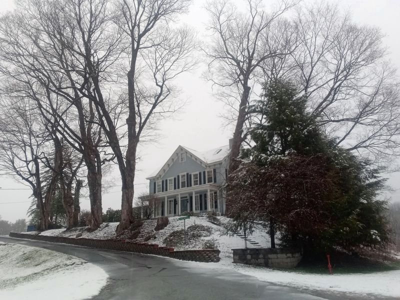
3. Approximate location of the longhouse
Credits. This page was last revised on April 24, 2025. It was originally submitted on June 8, 2018, by William Fischer, Jr. of Reynoldsburg, Ohio. This page has been viewed 839 times since then and 55 times this year. Photos: 1, 2. submitted on June 8, 2018, by William Fischer, Jr. of Reynoldsburg, Ohio. 3. submitted on April 12, 2025, by Scott J. Payne of Deposit, New York.
