
Main/Military Plaza in San Antonio in Bexar County, Texas — The American South (West South Central)
Site of De La Garza House, Gardens and Mint
Photographed by Cosmos Mariner, May 22, 2018
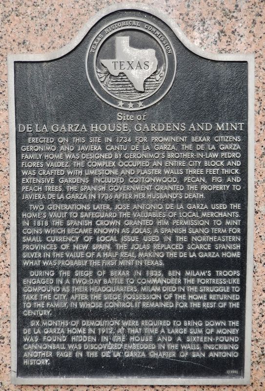
1. Site of De La Garza House, Gardens and Mint Marker
Erected on this site in 1734 for prominent Bexar citizens Geronimo and Javiera Cantu de la Garza, the de la Garza family home was designed by Geronimo's brother-in-law Pedro Flores Valdez. The complex occupied an entire city block and was crafted with limestone and plaster walls three feet thick. Extensive gardens included cottonwood, pecan, fig and peach trees. The Spanish government granted the property to Javiera de la Garza in 1736 after her husband's death.
Two generations later, Jose Antonio de la Garza used the home's vault to safeguard the valuables of local merchants. In 1818 the Spanish crown granted him permission to mint coins which became known as jolas, a Spanish slang term for small currency of local issue used in the northeastern provinces of New Spain. The jolas replaced scarce Spanish silver in the value of a half real, making the de la Garza home what was probably the first mint in Texas.
During the Siege of Bexar in 1835, Ben Milam's troops engaged in a two-day battle to commandeer the fortress-like compound as their headquarters. Milam died in the struggle to take the city. After the siege possession of the home returned to the family, in whose control it remained for the rest of the century.
Six months of demolition were required to bring down the de la Garza home in 1912. At that time a large sum of money was found hidden in the house and a sixteen-pound cannonball was discovered embedded in the walls, inscribing another page in the de la Garza chapter of San Antonio history.
Erected 1999 by Texas Historical Commission. (Marker Number 11743.)
Topics. This historical marker is listed in these topic lists: Colonial Era • Hispanic Americans • War, Texas Independence. A significant historical year for this entry is 1734.
Location. 29° 25.582′ N, 98° 29.595′ W. Marker
this page online

Regionally, this marker is in South Texas. It is also in the American South. Globally, it is in North America, a Gulf of Mexico state, the Western Hemisphere, the Western World, and the Anglosphere. Historically, it finds itself in what was once New Spain, the Republic of Texas, and one of the Confederate States of America.
Other nearby markers. At least 8 other markers are within walking distance of this marker: T.C. Frost (about 300 feet away, measured in a direct line); Site of T. C. Frost Wool Warehouse (about 300 feet away); Travis Street Crossing (about 400 feet away); Houston Street (about 400 feet away); Gen. Robert E. Lee (about 400 feet away); Thomas Claiborne Frost (about 500 feet away); Perote Prisoners (about
Photographed by Cosmos Mariner, May 22, 2018
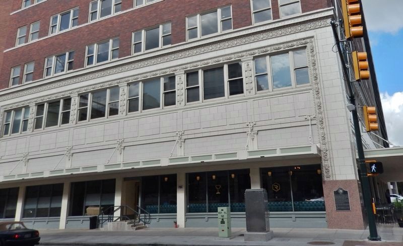
2. De La Garza House Marker (wide view from Soledad Street; marker near right corner)
Also see . . .
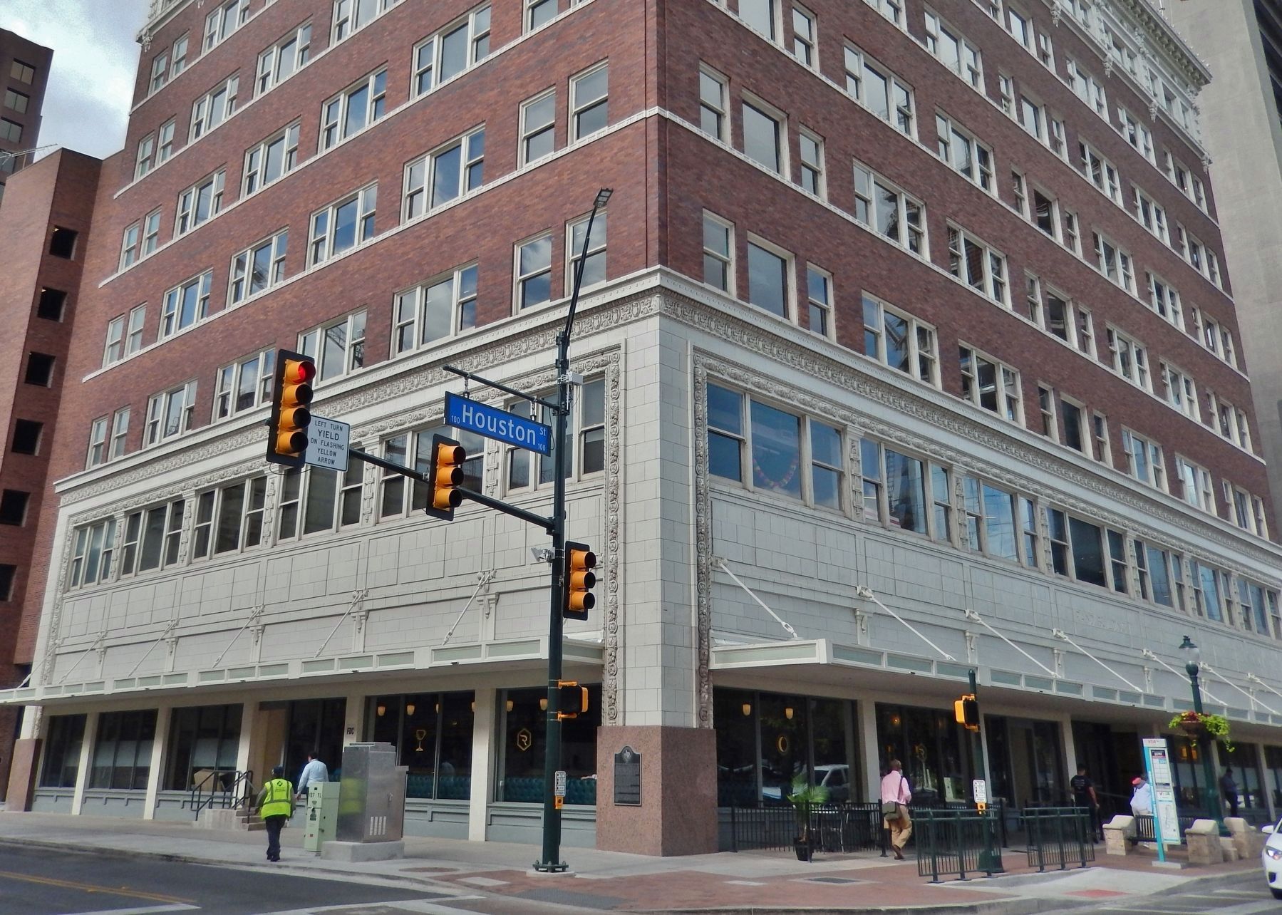
1. De La Garza home was likely San Antonio’s first bank. The Rand Building, at what is now 100 E. Houston St., was built by developer Ed Rand on property formerly owned by the Garza family for two centuries. When completed in 1913, the eight-story building billed as a “skyscraper” was leased to the Wolff & Marx department store and was advertised as the largest building in the South “devoted exclusively to the retailing of dry goods.” (Submitted on June 9, 2018, by Cosmos Mariner of Cape Canaveral, Florida.)
2. José Antonio de la Garza. With permission of the Spanish governor, Garza became the first person to coin money in Texas. On one side of the coin were his initials, "JAG," and the date 1818; on the other side was a single star. One writer speculates that this may have inspired the "lone star," which later became a Texas symbol The small coins were worth the equivalent of a nickel, and Garza minted them at a building on Houston and Soledad
Photographed by Cosmos Mariner, May 22, 2018
3. De La Garza House Marker (corner view from Soledad / Houston intersection; marker at center)
3. The Siege of Bexar. The siege of Bexar (San Antonio) became the first major campaign of the Texas Revolution. From October until early December 1835 an army of Texan volunteers laid siege to a Mexican army in San Antonio de Béxar. James C. Neill distracted the Mexican forces with artillery fire on the Alamo before dawn on December 5, while Milam and Francis W. Johnson led two divisions in a surprise attack that seized the Veramendi and Garza houses north of the plaza in San Antonio. (Submitted on June 9, 2018, by Cosmos Mariner of Cape Canaveral, Florida.)
Photographed by Adam Margolis, April 6, 2024
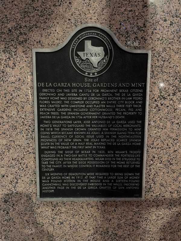
4. Site of De La Garza House, Gardens and Mint Marker
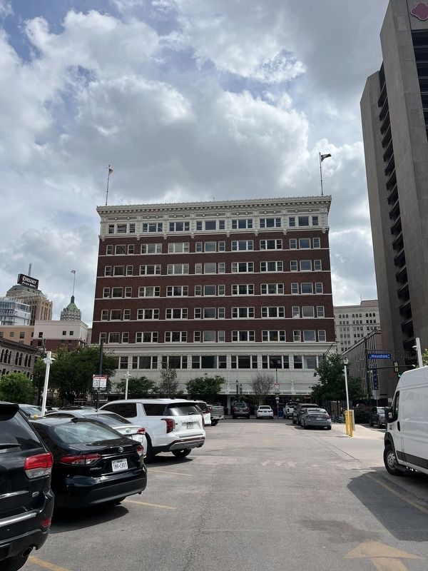
Photographed by Adam Margolis, April 6, 2024
5. Site of De La Garza House, Gardens and Mint Marker
Credits. This page was last revised on August 13, 2025. It was originally submitted on June 9, 2018, by Cosmos Mariner of Cape Canaveral, Florida. This page has been viewed 3,974 times since then and 352 times this year. Photos: 1, 2, 3. submitted on June 9, 2018, by Cosmos Mariner of Cape Canaveral, Florida. 4, 5. submitted on July 14, 2024, by Adam Margolis of Mission Viejo, California. • Bernard Fisher was the editor who published this page.
