Guatemala City in Guatemala Department, — Central America
La Reforma Avenue
Ruta Histórica Ciudad de Guatemala
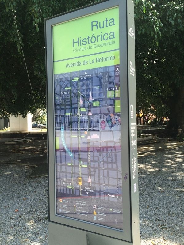
Avenida de La Reforma
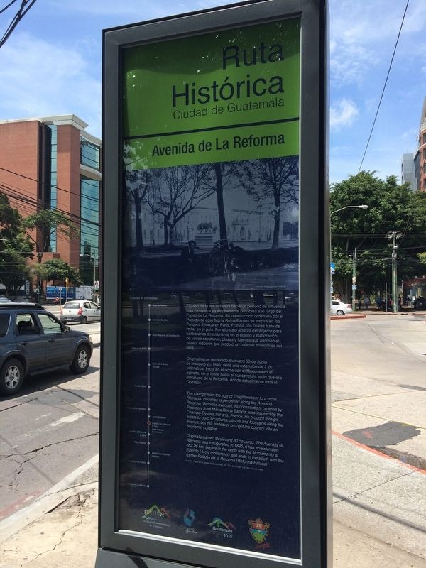
El paso de la era ilustrada hacia un periodo de influencia más romántica es ampliamente percibida a lo largo del Paseo de La Reforma. Su construcción ordenada por el Presidente José María Reina Barrios se inspira en los Parques Eliseos en Paris, Francia, los cuales trató de imitar en el pais. Por ello trajo artistas extranjeros para contratarlos directamente en el diseño y elaboración de varias esculturas, plazas y fuentes que adornan el paseo, elección que produjó un colapso económico del país.
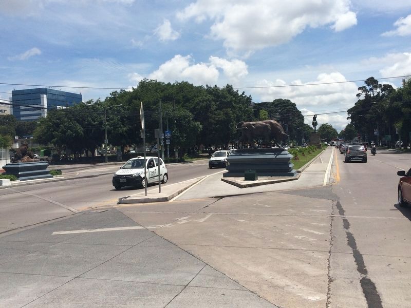
Originalmente nombrado Bulevard 30 de Junio se inauguró en 1895, tiene uria extensión de 2.26 kilómetros, inicia en el norte con el Monumento al Ejército, en el límite hacia el sur concluia en lo que era el Palacio de la Reforma, donde actualmente está el Obelisco.
Fuente: Plano de la ciudad de Guatemala, Ing. Claudio Urrutia y Emilio Gómez, 1894
La Reforma Avenue
The change from the age of Enlightenment to a more Romantic influence is perceived along the Avenida Reforma (Reforma avenue). Its construction, ordered by President José Maria Reina Barrios, was inspired by the Champs-Élysées in Paris, France. He brought foreign artists to build sculptures, plazas and fountains along the avenue, but this endeavor brought the country into an economic collapse.
Originally named Boulevard 30 de Junio, The Avenida la Reforma was inaugurated in 1895, it has an extension of 2.26 km, begins in the north with the Monumento al Ejército (Army monument) and ends in the south with the former Palacio de la Reforma (Reforma Palace)
Source: Plan of the City of Guatemala, Claudio Urrutia and Emilio Gómez, 1894
Topics. This historical marker is listed in these topic lists: Parks & Recreational Areas • Roads & Vehicles. A significant historical year for this entry is 1895.
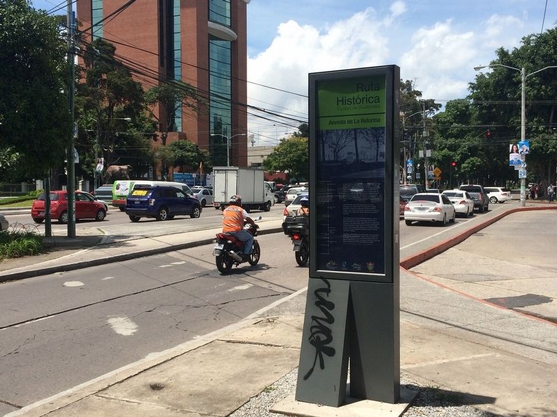
Location. 14° 36.539′ N, 90° 30.914′ W. Marker is in Guatemala City, Guatemala (Guatemala Department). Marker is on Avenida La Reforma just south of 4a Calle, on the right when traveling south. Touch for map. Marker is in this post office area: Guatemala City, Guatemala 01009, Guatemala. Touch for directions.
Other nearby markers. At least 8 other markers are within walking distance of this marker. Israel and Guatemala Monument (within shouting distance of this marker); José María Reina Barrios (within shouting distance of this marker); Miguel Hidalgo y Costilla (about 150 meters away, measured in a direct line); Memorial to United States Officials in Guatemala
(about 210 meters away); The Ceiba, Guatemala's National Tree (approx. 0.4 kilometers away); Miguel Garcia Granados (approx. 0.4 kilometers away); The Tower of the Reformer (approx. half a kilometer away); Military Academy of Guatemala (approx. half a kilometer away). Touch for a list and map of all markers in Guatemala City.
Credits. This page was last revised on July 28, 2023. It was originally submitted on June 12, 2018, by J. Makali Bruton of Accra, Ghana. This page has been viewed 161 times since then and 5 times this year. Photos: 1, 2, 3, 4. submitted on June 12, 2018, by J. Makali Bruton of Accra, Ghana.


