Williamstown in Berkshire County, Massachusetts — The American Northeast (New England)
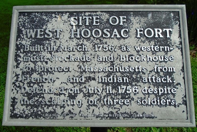
Site of West Hoosac Fort
Erected by Williamstown Historical Commission.
Topics. This historical marker is listed in these topic lists: Colonial Era • Forts and Castles • War, French and Indian. A significant historical month for this entry is March 1756.
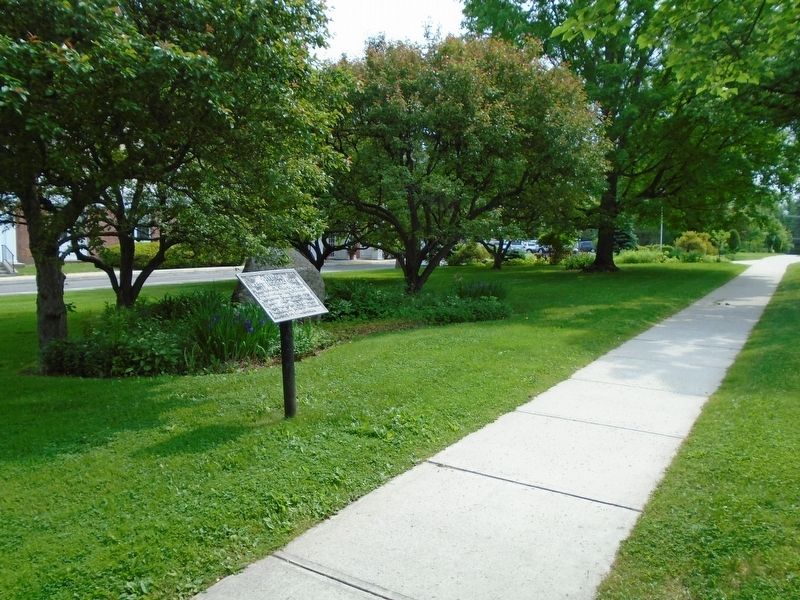
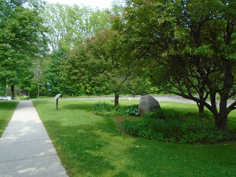
Location. 42° 42.851′ N, 73° 12.668′ W. Marker is in Williamstown, Massachusetts, in Berkshire County. Marker is on Main Street (U.S. 7) west of North Street, on the right when traveling west. Touch for map. Marker is at or near this postal address: 1090 Main Street, Williamstown MA 01267, United States of America. Touch for directions.
Other nearby markers. At least 8 other markers are within walking distance of this marker. Here Stood the West Hoosac Blockhouse (here, next to this marker); 1753 House (about 300 feet away, measured in a direct line); Veterans Memorial (about 400 feet away); World Wars Memorial (about 400 feet away); War Memorial (about 500 feet away); Site of First Meeting House (about 500 feet away); West College (approx. 0.3 miles away); The Meeting House of the First Congregational Church United Church of Christ (approx. 0.4 miles away). Touch for a list and map of all markers in Williamstown.
Credits. This page was last revised on September 30, 2020. It was originally submitted on June 13, 2018, by William Fischer, Jr. of Scranton, Pennsylvania. This page has been viewed 490 times since then and 51 times this year. Photos: 1, 2, 3. submitted on June 13, 2018, by William Fischer, Jr. of Scranton, Pennsylvania.


