Peterstown in Monroe County, West Virginia — The American South (Appalachia)
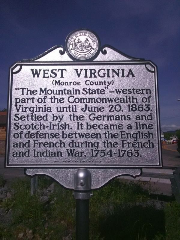
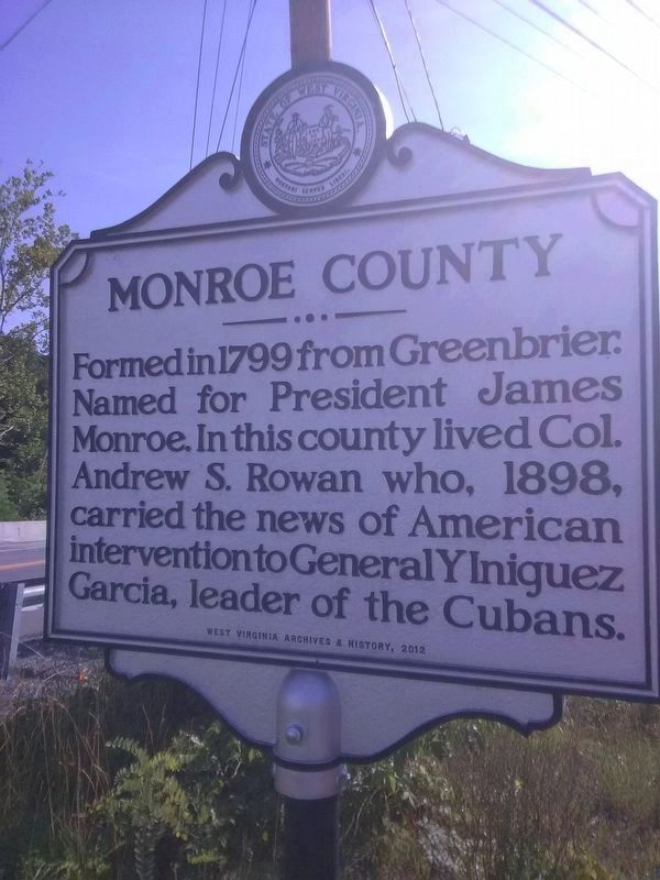
West Virginia (Monroe County) / Monroe County
(Monroe County)
Erected 2012 by West Virginia Archives & History.
Topics and series. This historical marker is listed in these topic lists: Colonial Era • Government & Politics • Notable Places • Settlements & Settlers • War, French and Indian • War, Spanish-American. In addition, it is included in the West Virginia Archives and History series list. A significant historical date for this entry is June 20, 1863.
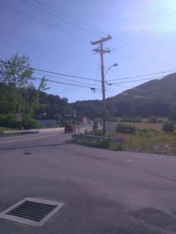
Location. 37° 23.844′ N, 80° 48.05′ W. Marker is in Peterstown, West Virginia, in Monroe County. Marker is on U.S. 219 near 219/Mill st, on the right when traveling south. Touch for map. Marker is in this post office area: Peterstown WV 24963, United States of America. Touch for directions.
Other nearby markers. At least 8 other markers are within 5 miles of this marker, measured as the crow flies. Giles County / West Virginia (within shouting distance of this marker in Virginia); Peterstown (about 600 feet away, measured in a direct line); Home of the Jones Diamond (approx. 0.2 miles away); New River (approx. 2.2 miles away in Virginia); Woods’ Fort (approx. 3.6 miles away); West Virginia / Giles County Virginia (approx. 4.2 miles away in Virginia); Narrows (approx. 4˝ miles away in Virginia); First Court of Giles County (approx. 4.9 miles away in Virginia). Touch for a list and map of all markers in Peterstown.
Credits. This page was last revised on June 9, 2020. It was originally submitted on June 16, 2018, by Roger Miller of Pulaski, Virginia. This page has been viewed 253 times since then and 20 times this year. Photos: 1, 2, 3. submitted on June 16, 2018, by Roger Miller of Pulaski, Virginia. • Andrew Ruppenstein was the editor who published this page.


