Park View in Portsmouth, Virginia — The American South (Mid-Atlantic)
Cedar Grove Cemetery
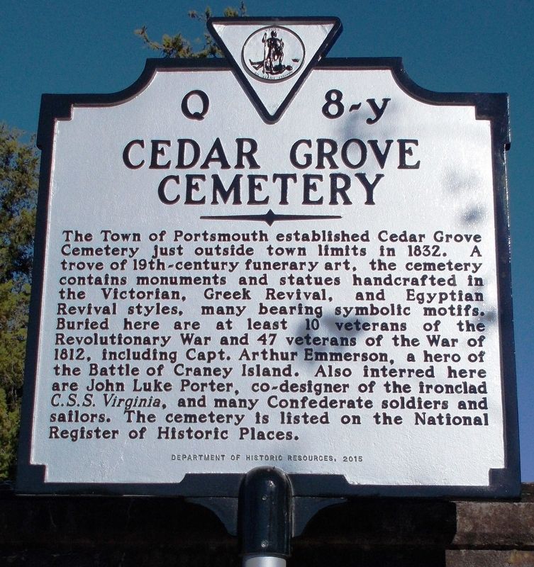
Photographed by Cynthia L. Clark, March 9, 2018
1. Cedar Grove Cemetery Marker
Erected 2015 by Department of Historic Resources. (Marker Number Q-8-y.)
Topics and series. This historical marker is listed in these topic lists: Cemeteries & Burial Sites • War of 1812 • War, US Civil. In addition, it is included in the Virginia Department of Historic Resources (DHR) series list. A significant historical year for this entry is 1832.
Location. 36° 50.38′ N, 76° 18.497′ W. Marker is in Portsmouth, Virginia. It is in Park View. It is at the intersection of Fort
this page online

Regionally, this marker is in Hampton Roads, specifically in Coastal Virginia, and in the Hampton Roads Metropolitan Area. It is also in the American South, specifically in the Upper South, in the Tidewater, and on the Eastern Seaboard. Globally, it is in the North Atlantic Region, North America, the Western Hemisphere, the Western World, and the Anglosphere. Historically, it finds itself in what was once the territory of the Mississippian Culture, one of the original Thirteen Colonies, one of the Confederate States of America, and the Antebellum South.
Other nearby markers. At least 8 other markers are within walking distance of this marker: Grace Phillips Pollard (a few steps from this marker); a different marker also named Cedar Grove Cemetery (a few steps from this marker); a different marker also named Cedar Grove Cemetery (a few steps from this marker); The Portsmouth Cedar Grove Cemetery (within shouting distance of this
Photographed by Cynthia L. Clark, March 9, 2018
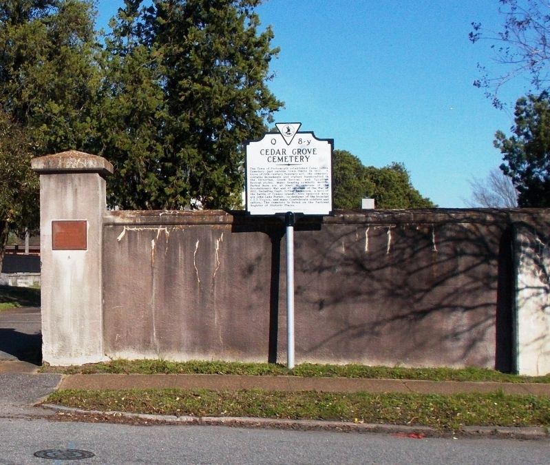
2. Cedar Grove Cemetery Marker.
Cedar Grove Cemetery Marker (front).
Photographed by Cynthia L. Clark, March 9, 2018
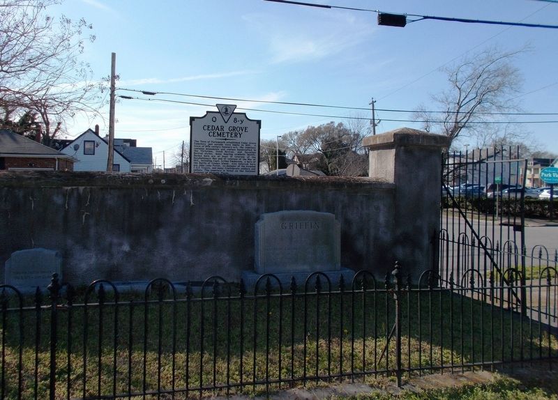
3. Cedar Grove Cemetery Marker (back).
Photographed by Cynthia L. Clark, March 9, 2018
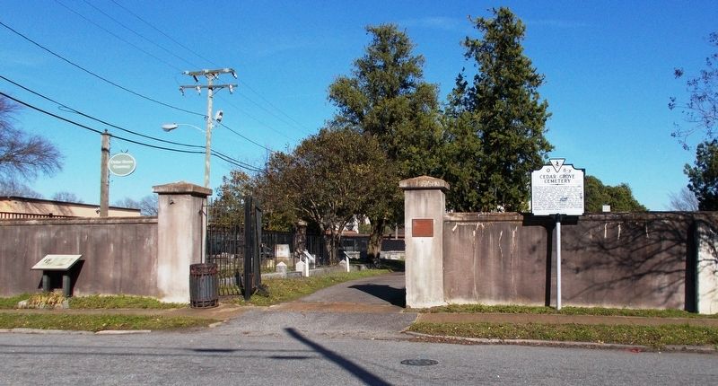
4. Cedar Grove Cemetery entrance.
Multiple markers, including Q-8-y, flank the cemetery’s entrance (from left to right): 1) a Cedar Grove Cemetery, Path of History – Portsmouth, Virginia marker; 2) a circular sign inscribed with Cedar Grove Cemetery; and 3) a National Register of Historic Places plaque.
Photographed by Cynthia L. Clark,
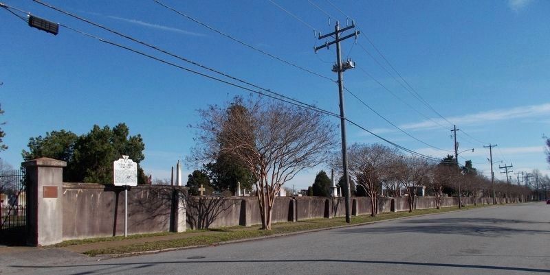
5. The breadth of Cedar Grove Cemetery.
Reported to be a four-acre parcel, the cemetery extends southward on Fort Lane for over three blocks from Blair Street towards London Boulevard.
Photographed by Cynthia L. Clark, March 9, 2018
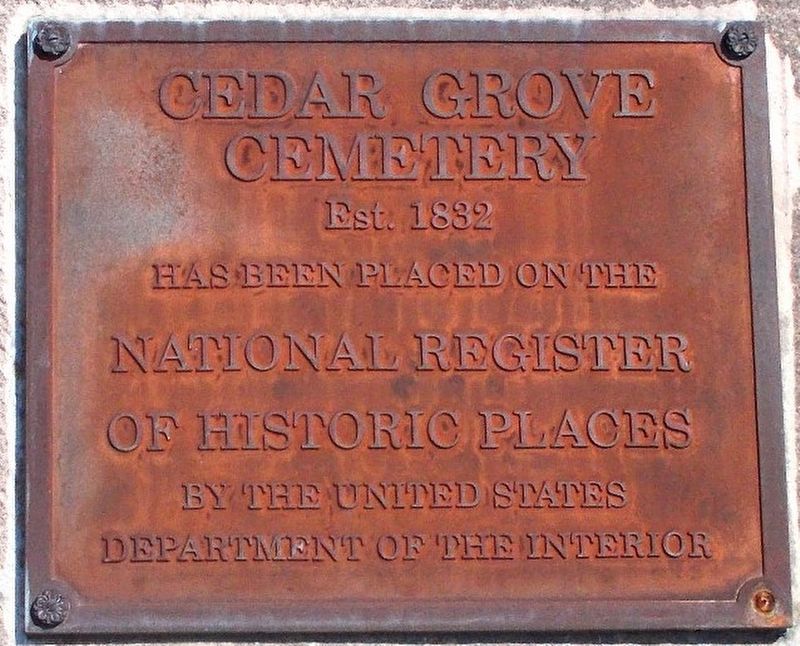
6. Detail of the National Register of Historic Places plaque.
This plaque is inscribed with: Cedar Grove Cemetery, Est. 1832, has been placed on the National Register of Historic Places by the United States Department of the Interior.

Photographed by C. Ryan Dodson, April 10, 2026
7. Cedar Grove Cemetery Marker

Photographed by C. Ryan Dodson, April 10, 2026
8. Blue Star Memorial
Cedar Grove Cemetery is also designated a Blue Star Memorial
Credits. This page was last revised on May 4, 2026. It was originally submitted on June 18, 2018, by Cynthia L. Clark of Suffolk, Virginia. This page has been viewed 565 times since then and 71 times this year. Photos: 1, 2, 3, 4, 5, 6. submitted on June 18, 2018, by Cynthia L. Clark of Suffolk, Virginia. 7. submitted on April 12, 2026, by C. Ryan Dodson of Danville, Virginia. 8. submitted on April 29, 2026, by C. Ryan Dodson of Danville, Virginia. • Andrew Ruppenstein was the editor who published this page.
