Downtown in San Antonio in Bexar County, Texas — The American South (West South Central)
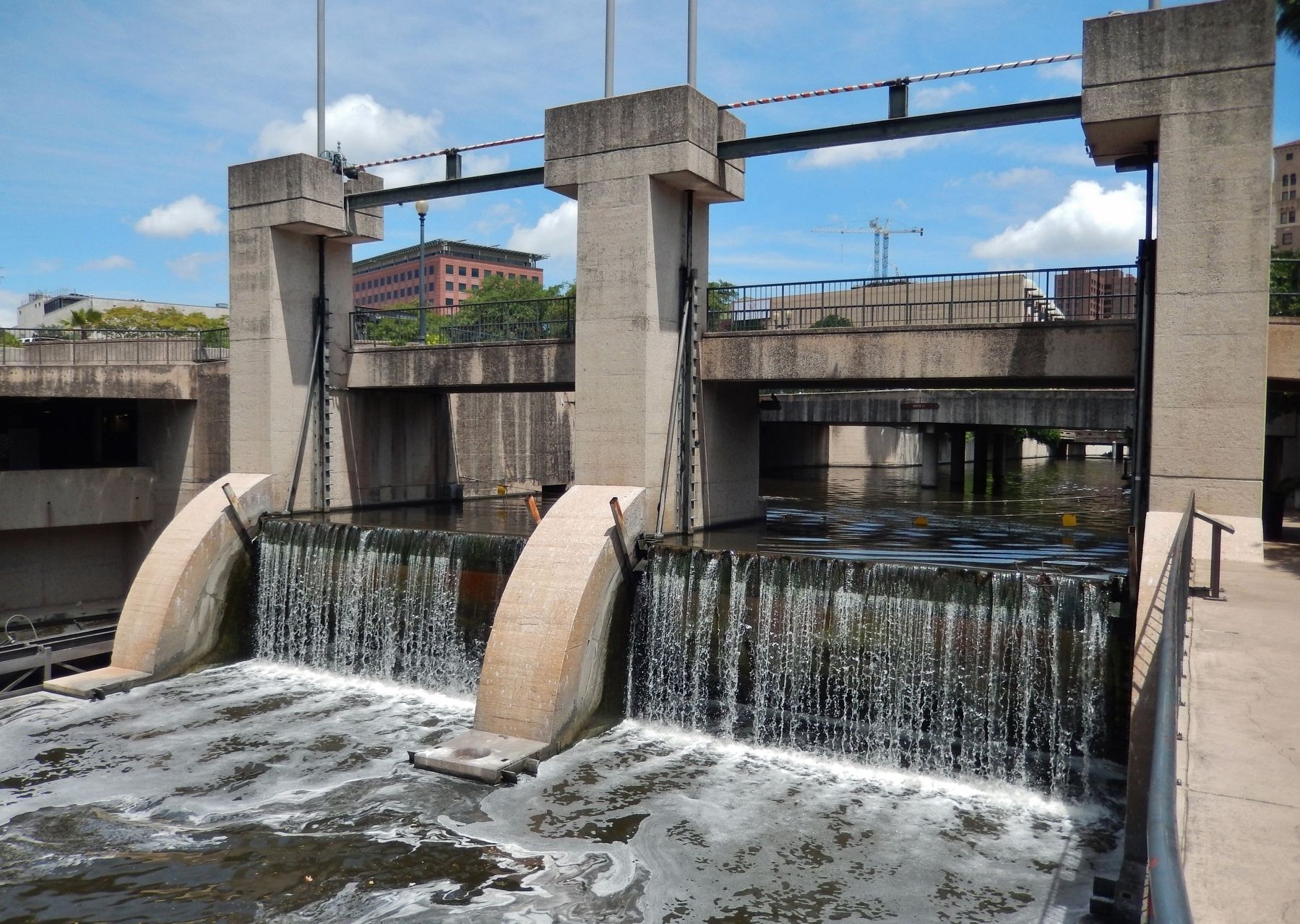
Nueva Street Dam and Marina
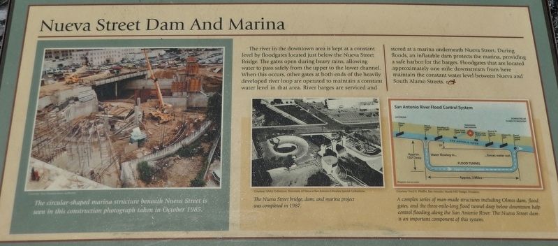
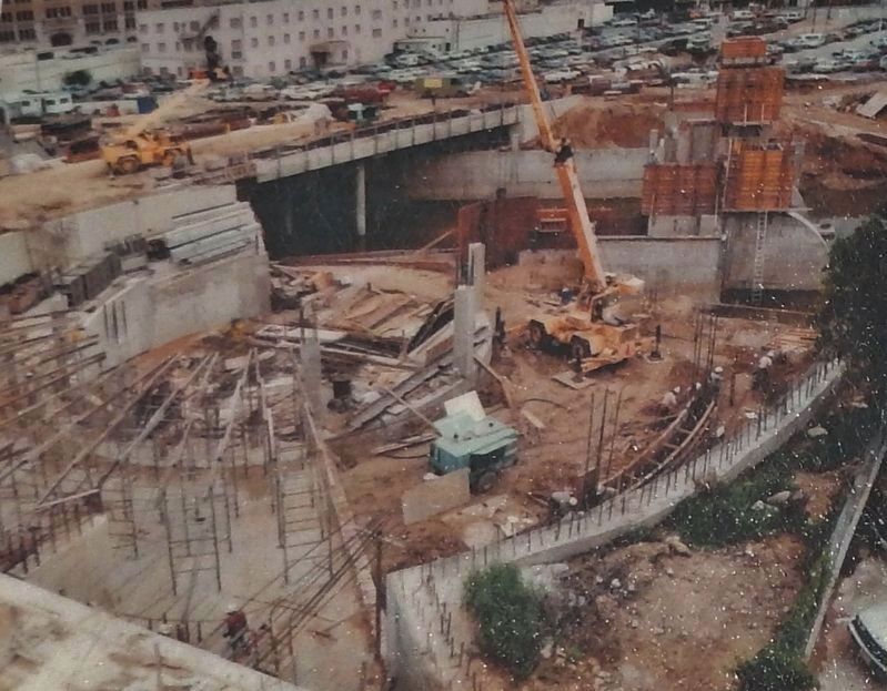
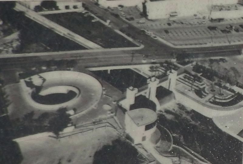
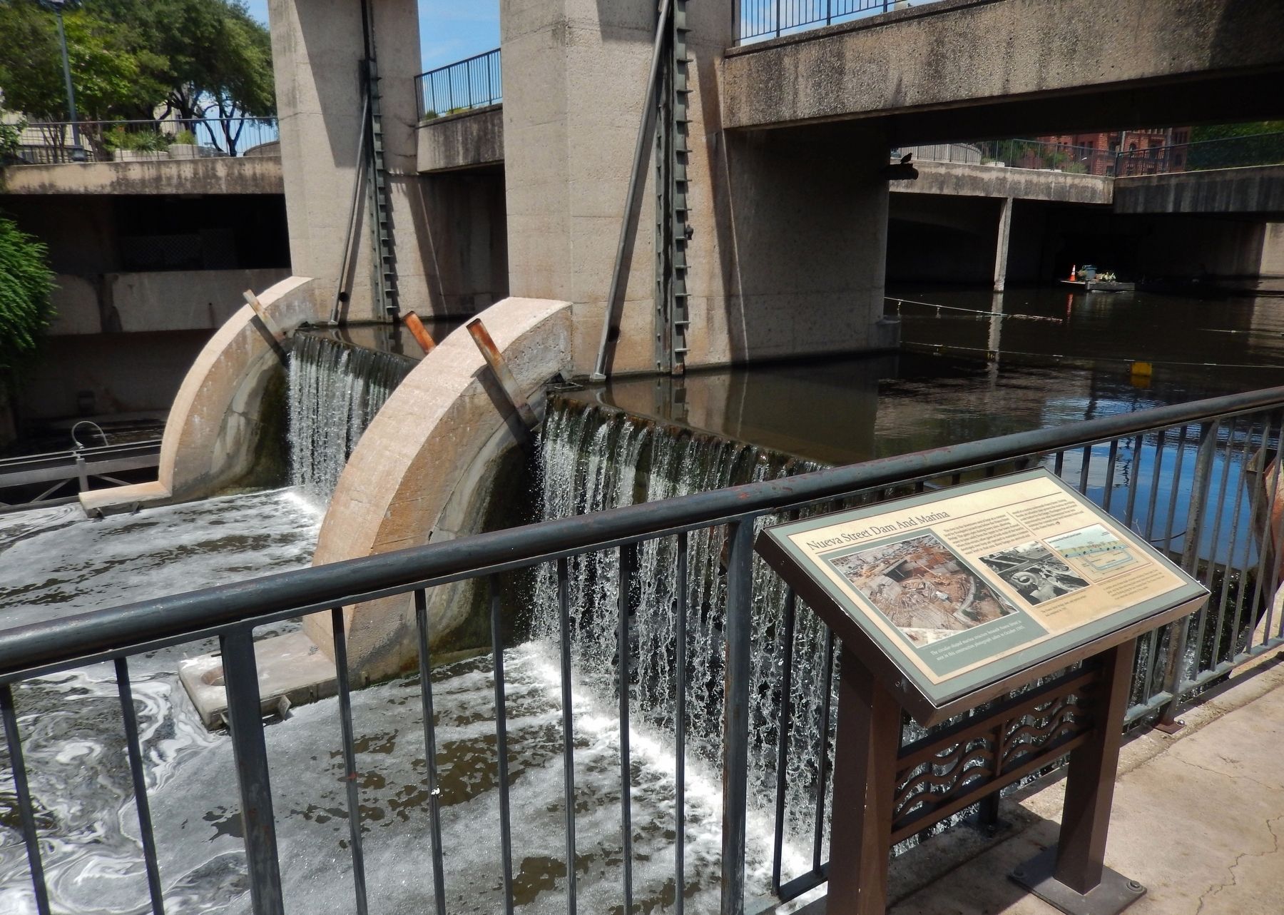
The river in the downtown area is kept at a constant level by floodgates located just below the Nueva Street Bridge. The gates open during heavy rains, allowing water to pass safely from the upper to the lower channel. When this occurs, other gates at both ends of the heavily developed river loop are operated to maintain a constant water level in that area. River barges are serviced and stored at a marina underneath Nueva Street. During floods, an inflatable dam protects the marina, providing a safe harbor for the barges. Floodgates that are located approximately one mile downstream from here maintain the constant water level between Nueva and South Alamo Streets.
Topics. This historical marker is listed in these topic lists: Man-Made Features • Waterways & Vessels.
Location. 29° 25.279′ N, 98° 29.543′ W. Marker is in San Antonio, Texas, in Bexar County. It is in Downtown. Marker can be reached from East Nueva Street south of Jack White Way, on the right when traveling east. Marker is located on the San Antonio River Walk, just south of the Nueva Street Bridge and Jack White Way Parking lot, overlooking the Nueva Street dam and spillway. Touch for map. Marker is at or near this postal address: 199 Jack White Way, San Antonio TX 78205, United States of America. Touch for directions.
Other nearby markers. At least 8 other markers are within walking distance of this marker. Francisco Madero in Texas (a few steps from this marker); Near Homesite of Erasmo Seguin (about 700 feet away, measured in a direct line); Bowen's Island (about 700 feet away); a different marker also named Bowen's Island (approx. 0.2 miles away); Dosch-Rische House (approx. 0.2 miles away); Justitia (approx. 0.2 miles away); Hessler House (approx. 0.2 miles away); a different marker also named Hessler House (approx. 0.2 miles away). Touch for a list and map of all markers in San Antonio.
Courtesy of Fred N. Pfeiffer, San Antonio; Marek-Hill Design, Houston
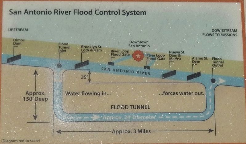
4. Marker detail: San Antonio River Flood Control System
A complex series of man-made structures including Olmos dam, flood gates, and the three-mile-long flood tunnel deep below downtown help control flooding along the San Antonio River. The Nueva Street dam is an important component of this system.
Credits. This page was last revised on February 2, 2023. It was originally submitted on June 20, 2018, by Cosmos Mariner of Cape Canaveral, Florida. This page has been viewed 532 times since then and 67 times this year. Photos: 1, 2, 3, 4, 5, 6. submitted on June 20, 2018, by Cosmos Mariner of Cape Canaveral, Florida. • Andrew Ruppenstein was the editor who published this page.
