Near Keenbrook in San Bernardino County, California — The American West (Pacific Coastal)
Blue Cut
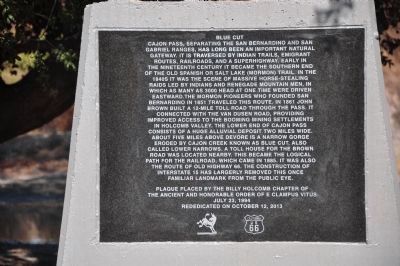
Photographed by Michael Kindig, October 12, 2013
1. Blue Cut Marker
this page online
Plaque placed by the Billy Holcomb Chapter of
the Ancient and Honorable Order of E Clampus Vitus
July 23, 1994
Rededicated on October 12, 2013
Erected 1994 by Billy Holcomb Chapter No. 1069, E Clampus Vitus. (Marker Number 146.)
Topics and series. This historical marker is listed in these topic lists: Exploration • Indigenous Peoples and Communities • Roads & Vehicles • Settlements & Settlers. In addition, it is included in the E Clampus Vitus, the Mormon Pioneer Trail, the Old Spanish National Trail, and the U.S. Route 66 series lists. A significant historical month for this entry is July 1910.
Location. 34° 16.004′ N, 117° 27.567′ W. Marker is near Keenbrook, California, in San Bernardino County. It is on Cajon Boulevard, on the right when traveling east. Marker is located at the former site of the southbound California Highway Patrol Weigh Station. Only outlines of foundations remain. Touch for map. Marker is at or near this postal address: 579 Cajon Blvd, San Bernardino CA 92407, United States of America. Touch for directions.

Regionally, this marker is in Greater Los
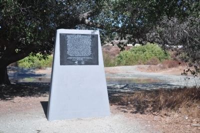
Photographed by Michael Kindig, October 12, 2013
2. Blue Cut Marker
Other nearby markers. At least 8 other markers are within 5 miles of this marker, measured as the crow flies: Mormon Pioneer Trail (approx. 2½ miles away); Lytle Creek Canyon (approx. 2½ miles away); Stoddard-Waite Monument (approx. 2.6 miles away); Santa Fe and Salt Lake Trail (approx. 2.8 miles away); Camp Cajon (approx. 2.8 miles away); Camp Cajon Monument (approx. 2.8 miles away); Summit Train Station (approx. 4.6 miles away); Elliot Ranch (approx. 4.6 miles away).
More about this marker. The marker has been restored as of 12 October 2013 -- it is no longer missing.
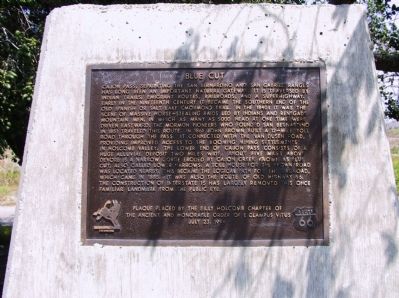
Photographed by Michael Kindig, May 17, 2003
3. Original Blue Cut Marker
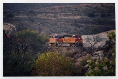
Photographed by Michael Kindig, November 11, 2007
4. BNSF 7563 at Blue Cut
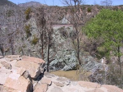
Photographed by Michael Kindig, April 12, 2006
5. Blue Cut
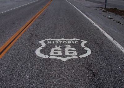
Photographed by Michael Kindig, April 12, 2006
6. Historic Route 66 at Blue Cut
Credits. This page was last revised on December 4, 2023. It was originally submitted on December 19, 2011, by Michael Kindig of Elk Grove, California. This page has been viewed 3,539 times since then and 225 times this year. Last updated on June 25, 2018, by Craig Baker of Sylmar, California. Photos: 1, 2. submitted on March 25, 2014, by Michael Kindig of Elk Grove, California. 3. submitted on December 19, 2011, by Michael Kindig of Elk Grove, California. 4, 5, 6. submitted on December 25, 2011, by Michael Kindig of Elk Grove, California. • Andrew Ruppenstein was the editor who published this page.
