Jefferson in Marion County, Texas — The American South (West South Central)
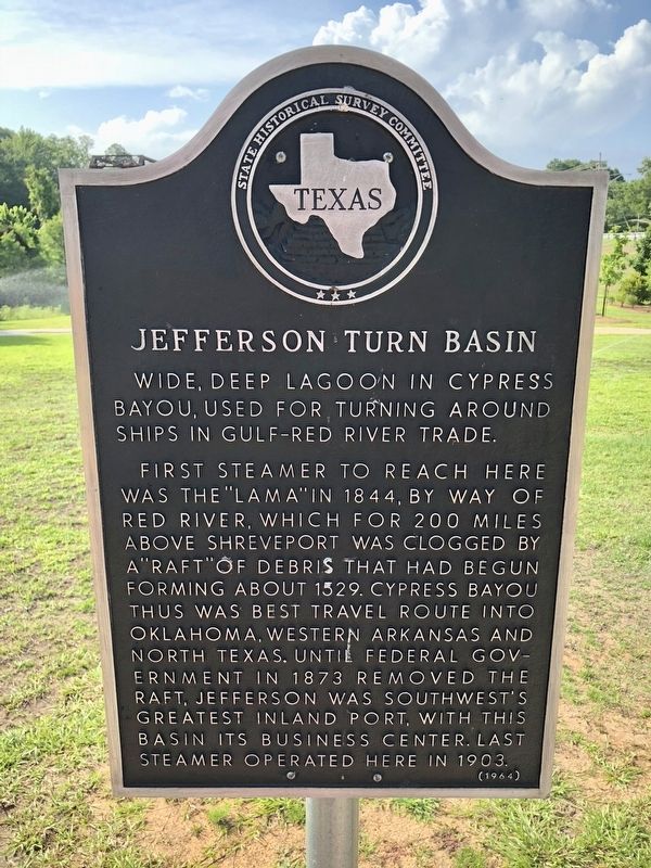
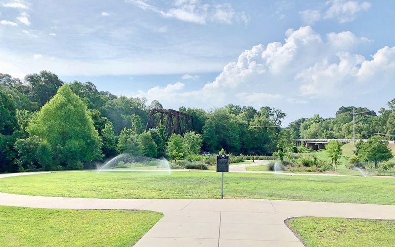
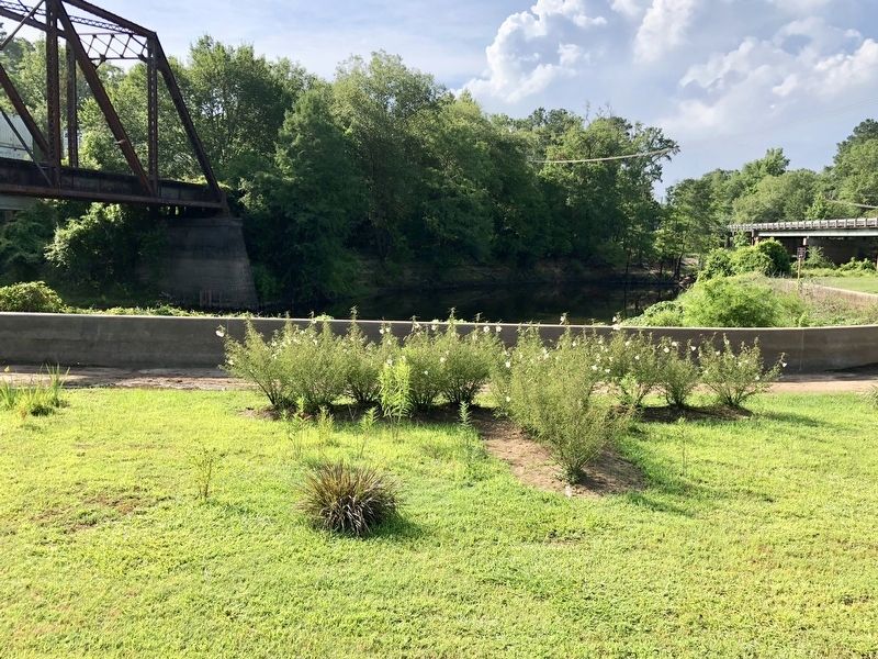
Jefferson Turn Basin
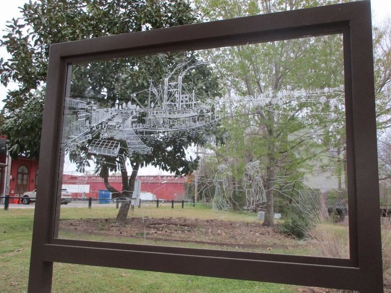
First steamer to reach here was the "Lama" in 1844, by way of Red River, which for 200 miles above Shreveport was clogged by a "raft" of debris that had begun forming about 1529. Cypress Bayou thus was best travel route into Oklahoma, western Arkansas and north Texas. Until Federal government in 1873 removed the raft, Jefferson was southwest's greatest inland port, with this basin its business center. Last steamer operated here in 1903.
Erected 1964 by State Historical Survey Committee. (Marker Number 8060.)
Topics. This historical marker is listed in this topic list: Waterways & Vessels. A significant historical year for this entry is 1844.
Location. 32° 45.385′ N, 94° 20.588′ W. Marker is in Jefferson, Texas, in Marion County. Marker is at the intersection of East Dallas Street and South Polk Street (County Route 134), on the right when traveling east on East Dallas Street. Touch for map. Marker is at or near this postal address: East Dallas Street, Jefferson TX 75657, United States of America. Touch for directions.
Other nearby markers. At least 8 other markers are within walking distance of this marker. Marion County (about 300 feet away, measured in a direct line); Marion County Confederate Monument (about 300 feet away); Texas Statesman Charles Allen Culberson (about 400 feet away); Marion County Courthouse (about 400 feet away); Murphy Building (about 500 feet away); Vernon Dalhart (about 600 feet away); Kahn Saloon (about 600 feet away); Old Livery Stable (about 700 feet away). Touch for a list and map of all markers in Jefferson.
Credits. This page was last revised on March 21, 2023. It was originally submitted on July 1, 2018, by Mark Hilton of Montgomery, Alabama. This page has been viewed 279 times since then and 27 times this year. Photos: 1, 2, 3. submitted on July 1, 2018, by Mark Hilton of Montgomery, Alabama. 4. submitted on March 21, 2023, by Jeff Leichsenring of Garland, Texas.


