
Near Cooper in Delta County, Texas — The American South (West South Central)
DeSpain Bridge
(Site 4.2 miles Southwest)
Photographed by Mark Hilton, June 25, 2018
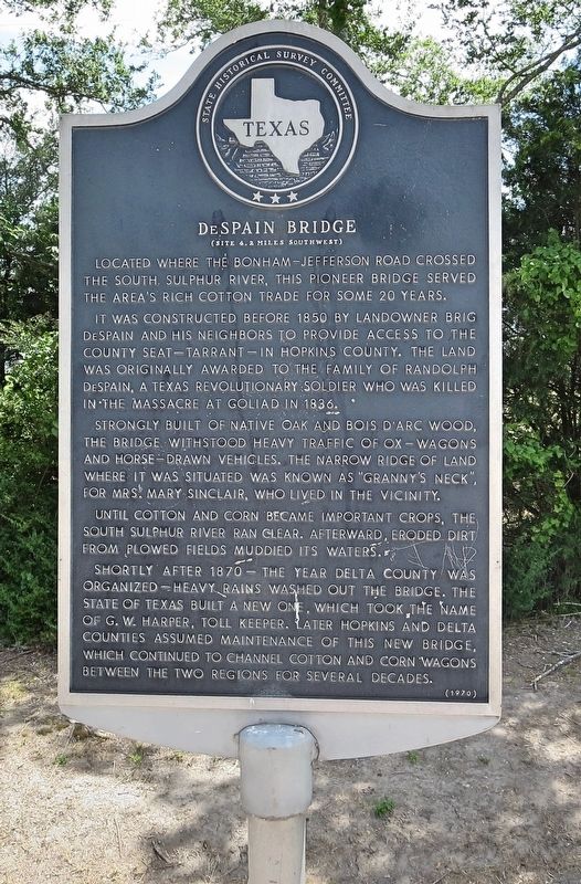
1. DeSpain Bridge Marker
It was constructed before 1850 by landowner Brig DeSpain and his neighbors to provide access to the county seat—Tarrant—in Hopkins County. The land was originally awarded to the family of Randolph DeSpain, a Texas Revolutionary soldier who was killed in the massacre at Goliad in 1836.
Strongly built of native oak and bois d'arc wood, the bridge withstood heavy traffic of ox-wagons and horse-drawn vehicles. The narrow ridge of land where it was situated was known as "Granny's Neck," for Mrs. Mary Sinclair, who lived in the vicinity.
Until cotton and corn became important crops, the South Sulphur River ran clear. Afterward, eroded dirt from plowed fields muddied its waters.
Shortly after 1870 — the year Delta County was organized — heavy rains washed out the bridge. The State of Texas built a new one, which took the name of G. W. Harper, Toll Keeper. Later Hopkins and Delta counties assumed maintenance of this new bridge, which continued to channel cotton and corn wagons between the two regions for several decades.
Erected 1970 by State Historical Survey Committee. (Marker Number 6933.)
Topics. This historical marker is listed in these topic lists: Agriculture • Bridges & Viaducts • Waterways & Vessels. A significant historical year for this entry is 1850.
Location. 33° 21.732′ N, 95° 36.506′ W. Marker is near Cooper, Texas, in Delta County. It is on Texas Route 154 0.1 miles west of Route 19, on the left when traveling west. Touch for map. Marker is in this post office area: Cooper TX 75432, United States of America. Touch for directions.

Regionally, this marker is in the American South and in the Piney Woods.
this page online
Other nearby markers. At least 8 other markers are within 5 miles of this marker, measured as the crow flies: Hiram Rattan (approx. 1.4 miles away); Oaklawn Cemetery (approx. 3.4 miles away); Delta County (approx. 3.4 miles away); Sam B. Turbeville (approx. 3½ miles away); Thomas A. Lambeth (approx. 3½ miles away); Yates and Methodist Protestant Cemeteries (approx. 4 miles away); Original Site of East Texas Normal College (approx. 4.6 miles away); First National Bank (approx. 4.7 miles away). Touch for a list and map of all markers in Cooper.
Photographed by Mark Hilton, June 25, 2018
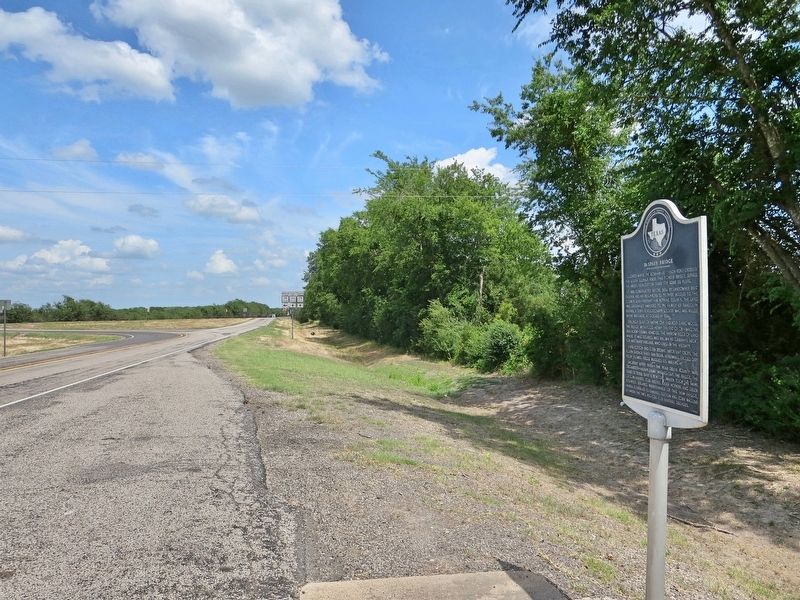
2. Looking east on TX-154 towards TX-19.
Credits. This page was last revised on July 5, 2018. It was originally submitted on July 5, 2018, by Mark Hilton of Montgomery, Alabama. This page has been viewed 946 times since then and 48 times this year. Photos: 1, 2. submitted on July 5, 2018, by Mark Hilton of Montgomery, Alabama.
