Leon in Madison County, Virginia — The American South (Mid-Atlantic)
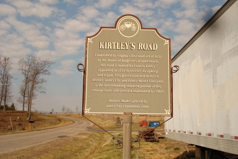
Kirtley's Road
Erected 2000 by James City Foundation.
Topics. This historical marker is listed in these topic lists: Colonial Era • Roads & Vehicles.
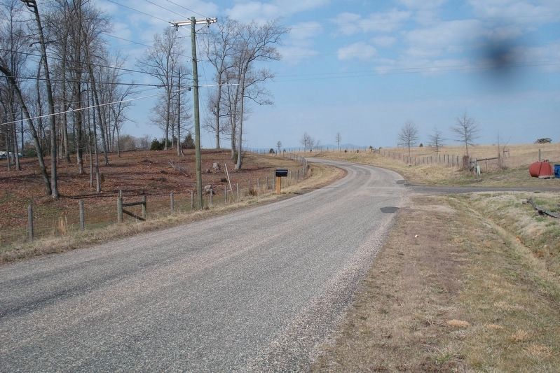
Location. 38° 26.282′ N, 78° 8.466′ W. Marker is in Leon, Virginia, in Madison County. Marker is on Kirtley Road (County Route 631) 0.1 miles west of James City Road (Route 621), on the right when traveling west. Touch for map. Marker is in this post office area: Leon VA 22725, United States of America. Touch for directions.
Other nearby markers. At least 8 other markers are within 5 miles of this marker, measured as the crow flies. Battle of James City (approx. 0.2 miles away); Engagement at James City (approx. 0.2 miles away); Madison County / Culpeper County (approx. 0.6 miles away); Third Wis. Infty. (approx. 4.4 miles away); Battle of Cedar Mountain (approx. 4˝ miles away); a different marker also named Battle of Cedar Mountain (approx. 4˝ miles away); a different marker also named Battle of Cedar Mountain (approx. 4˝ miles away); Hand-to-Hand Fighting (approx. 4˝ miles away). Touch for a list and map of all markers in Leon.
Credits. This page was last revised on July 6, 2018. It was originally submitted on July 6, 2018, by Roger Dean Meyer of Yankton, South Dakota. This page has been viewed 547 times since then and 41 times this year. Photos: 1, 2. submitted on July 6, 2018, by Roger Dean Meyer of Yankton, South Dakota.

