Tecozautla, Hidalgo, Mexico — The Central Highlands (North America)
The Aqueduct of the Arches
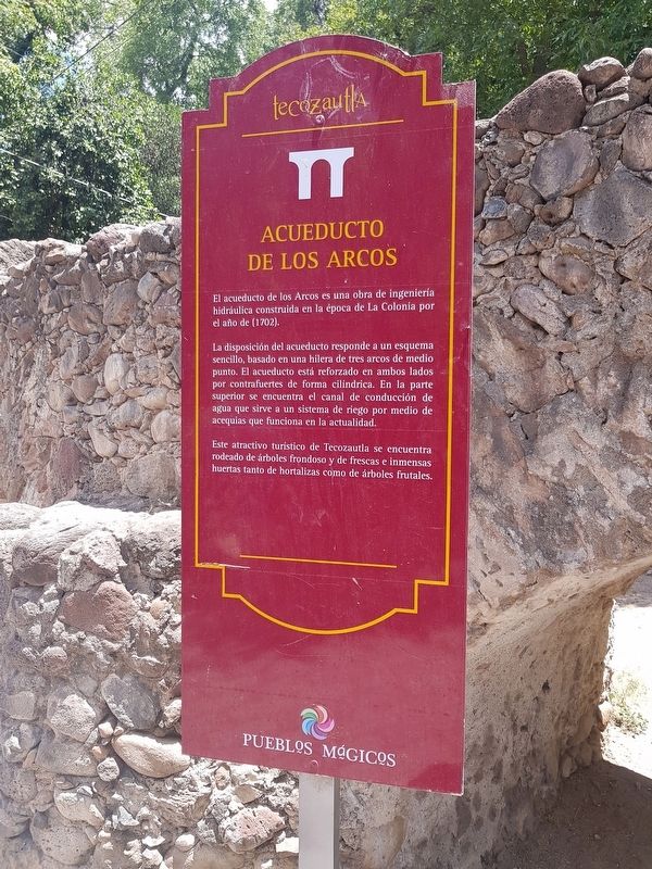
Acueducto de los Arcos
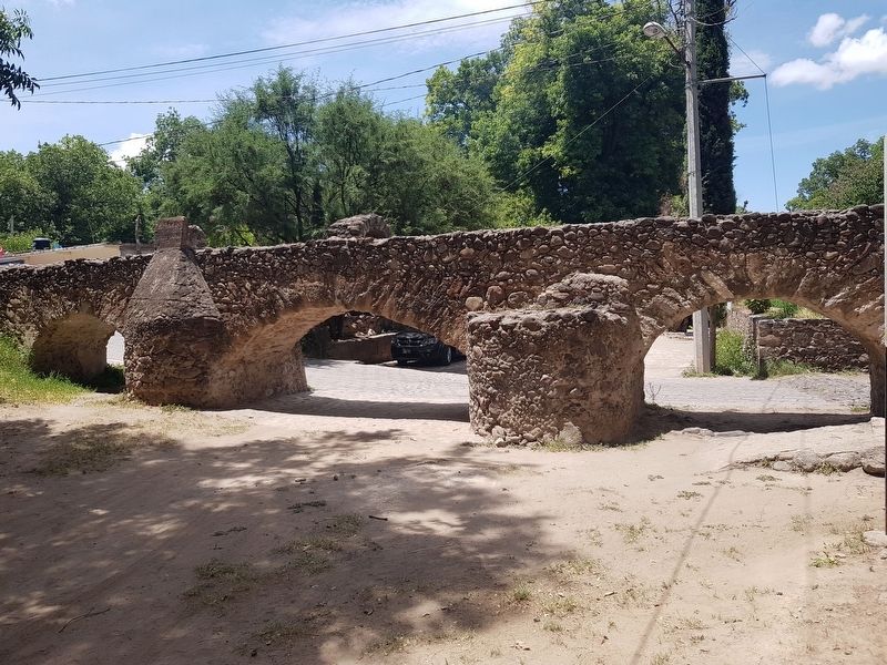
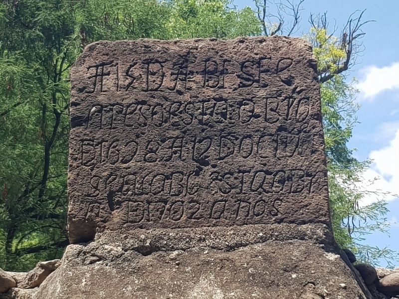
El acueducto de los Arcos es una obra de ingeniería hidráulica construida en la época de La Colonia por el año de (1702).
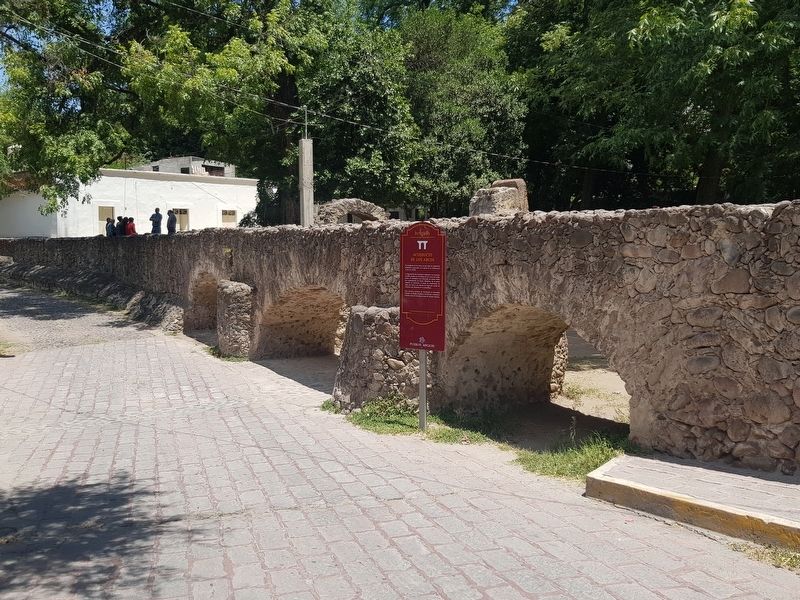
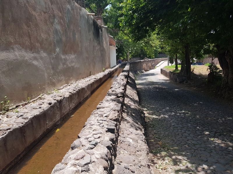
La disposición del acueducto responde a un esquema sencillo, basado en una hilera de tres arcos de medio punto. El acueducto está reforzado en ambos lados por contrafuertes de forma cilíndrica. En la parte superior se encuentra el canal de conducción de agua que sirve a un sistema de riego por medio de acequias que funciona en la actualidad.
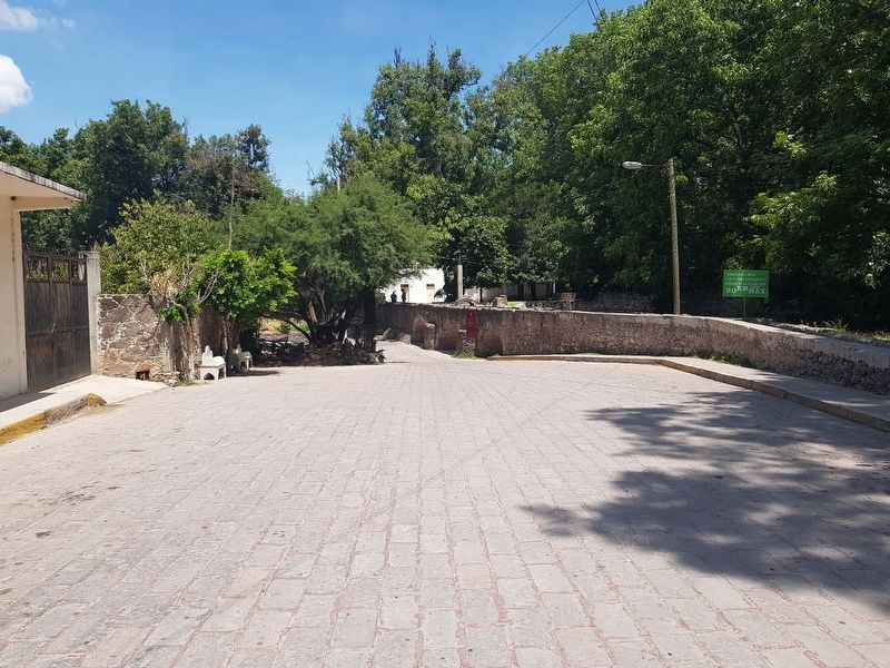
Este atractivo turístico de Tecozautla se encuentra rodeado de árboles frondoso y de frescas e inmensas huertas tanto de hortalizas como de árboles frutales.
The Aqueduct of the Arches
The Aqueduct of the Arches is a work of hydraulic engineering built during colonial times in 1702.
The aqueduct is based on a simple plan, made up of a row of three half-point arches. The aqueduct is reinforced on both sides by buttresses of cylindrical shape. In the upper part there is the water channel that serves an irrigation system through the means of ditches and that is currently still in operation.
This tourist attraction of Tecozautla is surrounded by leafy trees and fresh and immense vegetable gardens as well as fruit orchards.
Topics. This historical marker is listed in these topic lists: Colonial Era • Horticulture & Forestry • Man-Made Features. A significant historical year for this entry is 1702.
Location. 20° 31.442′ N, 99° 37.978′ W. Marker is in Tecozautla, Hidalgo. Marker is on Calle Los Arcos just west of Calle 16 de Enero 2 Sur, on the left when traveling west. Touch for map. Marker is in this post office area: Tecozautla HGO 42440, Mexico. Touch for directions.
Other nearby markers. At least 8 other markers are within 6 kilometers of this marker, measured as the crow flies. The Irrigation System of Tecozautla (approx. 0.6 kilometers away); Benito Juárez (approx. 1.1 kilometers away); Chapel of the Lord of Expiration (approx. 1.1 kilometers away); Tecozautla (approx. 1.1 kilometers away); Messages in the Rocks: Petroglyphs (approx. 5.7 kilometers away); Tecpan: The Place of Duality (approx. 5.8 kilometers away); Tecpan: “The Government House” (approx. 5.8 kilometers away); The Calendar on the Landscape (approx. 5.8 kilometers away). Touch for a list and map of all markers in Tecozautla.
Credits. This page was last revised on July 8, 2018. It was originally submitted on July 8, 2018, by J. Makali Bruton of Accra, Ghana. This page has been viewed 121 times since then and 30 times this year. Photos: 1, 2, 3, 4, 5, 6. submitted on July 8, 2018, by J. Makali Bruton of Accra, Ghana.
