Van Buren in Crawford County, Arkansas — The American South (West South Central)
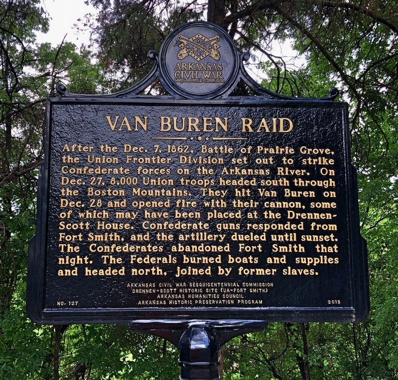
Van Buren Raid
Photographed by Mark Hilton, July 9, 2018
1. Van Buren Raid Marker
Erected 2015 by Arkansas Civil War Sesquicentennial Commission, Drennen-Scott Historic Site (UA-Fort Smith), Arkansas Humanities Council, Arkansas Historic Preservation Program. (Marker Number 127.)
Topics and series. This historical marker is listed in these topic lists: War, US Civil • Waterways & Vessels. In addition, it is included in the Arkansas Civil War Sesquicentennial Commission series list. A significant historical date for this entry is December 7, 1862.
Location. 35° 26.143′ N, 94° 21.573′ W. Marker is in Van Buren, Arkansas, in Crawford County. It can be reached from
this page online

Regionally, this marker is in the Arkansas River Valley, in the Cherokee Heritage Region, and in Osage Territory. It is also in the American South, specifically in the Upper South, and in the Ozarks. Globally, it is in North America, the Western Hemisphere, the Western World, and the Anglosphere. Historically, it finds itself in what was once the territory of the Mississippian Culture, the Louisiana Purchase, one of the Confederate States of America, and the Antebellum South.
Other nearby markers. At least 8 other markers are within walking distance of this marker: Web of Enterprise (a few steps from this marker); Overlooking His Domain (a few steps from this marker); Gone but not forgotten (within shouting distance of this marker); CSI: Van Buren (within shouting distance of this marker); The Butterfield Stage Route (approx. ¼ mile away); Albert Pike School House
Photographed by Mark Hilton, July 9, 2018
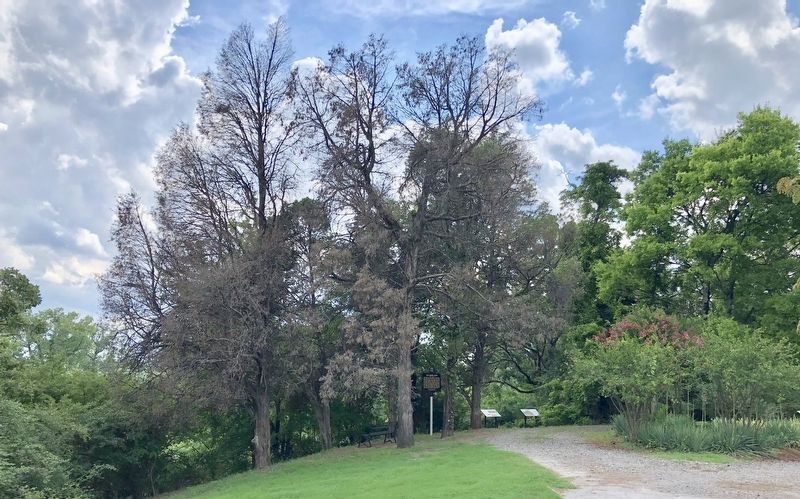
2. Van Buren Raid Marker can be seen in far distance.
Also see . . . The Battle of Van Buren in depth. (Submitted on July 9, 2018, by Mark Hilton of Montgomery, Alabama.)
Photographed by Mark Hilton, July 9, 2018
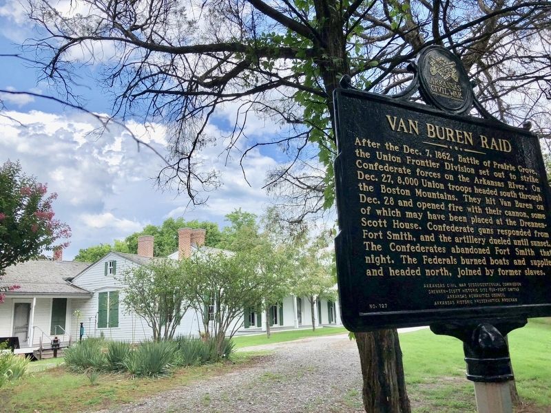
3. Van Buren Raid Marker at the Drennen Scott House.
Credits. This page was last revised on July 9, 2018. It was originally submitted on July 9, 2018, by Mark Hilton of Montgomery, Alabama. This page has been viewed 848 times since then and 60 times this year. Photos: 1, 2, 3. submitted on July 9, 2018, by Mark Hilton of Montgomery, Alabama.
