Conway in Faulkner County, Arkansas — The American South (West South Central)
Faulkner County in the Civil War
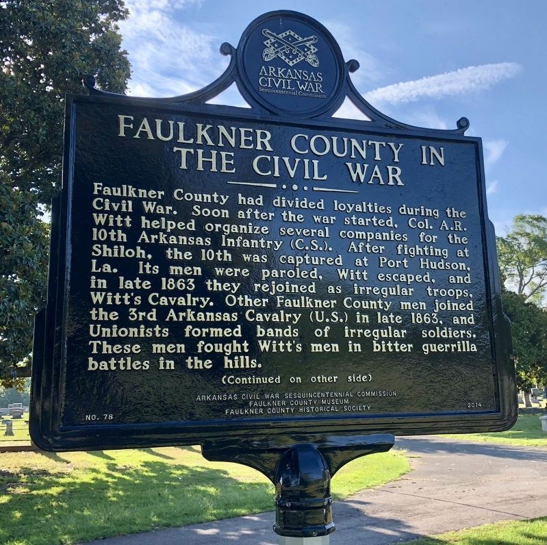
Faulkner County had divided loyalties during the Civil War. Soon after the war started, Col. A.R. Witt helped organize several companies for the 10th Arkansas Infantry (C.S.). After fighting at Shiloh, the 10th was captured at Port Hudson, La. Its men were paroled, Witt escaped, and in late 1863 they rejoined as irregular troops, Witt’s Cavalry. Other Faulkner County men joined the 3rd Arkansas Cavalry (U.S.) in late 1863, and Unionists formed bands of irregular soldiers. These men fought Witt’s men in bitter guerrilla battles in the hills.
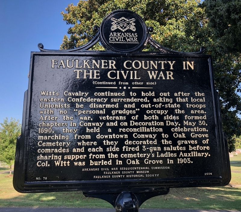
Witt’s Cavalry continued to hold out after the eastern Confederacy surrendered, asking that local Unionists be disarmed and out-of-state troops with no “personal grudges” occupy the area. After the war, veterans of both sides formed chapters in Conway and on Decoration Day, May 30, 1890, they held a reconciliation celebration, marching from downtown Conway to Oak Grove Cemetery where they decorated the graves of comrades and each side fired 3-gun salutes before sharing supper from the cemetery’s Ladies Auxiliary. Col. Witt was buried in Oak Grove in 1903.
Erected 2014 by Arkansas Civil War Sesquicentennial Commission, Faulkner County Museum, Faulkner County Historical Society. (Marker Number 78.)
Topics and series. This historical marker is listed in these topic lists: Cemeteries & Burial Sites • War, US Civil. In addition, it is included in the Arkansas Civil War Sesquicentennial Commission series list. A significant historical date for this entry is May 30, 1890.
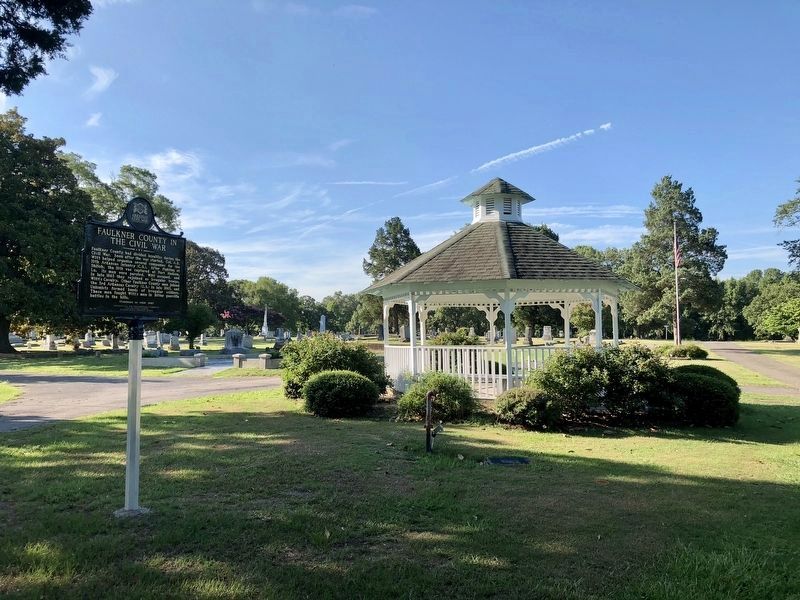
Location. 35° 4.775′ N, 92° 25.74′ W. Marker is in Conway, Arkansas, in Faulkner County. Marker can be reached from Bruce Street. Located near the intersection of cemetery private roads 'Fletcher Smith' and 'Asa P. Robinson' streets at the gazebo. Touch for map. Marker is at or near this postal address: 305 Bruce Street, Conway AR 72032, United States of America. Touch for directions.
Other nearby markers. At least 8 other markers are within 7 miles of this marker, measured as the crow flies. Robins House (approx. 0.8 miles away); Simon Park (approx. one mile away); Faulkner County Veterans Memorial (approx. one mile away); Conway Confederate Monument (approx. one mile away); Faulkner County (approx. one mile away); The Hendrix Bell at Altus (approx. 1.6 miles away); 450th Commemoration De Soto Expedition (approx. 6.7 miles away); Lt. Joseph W. Harris, U.S.A. (approx. 6.8 miles away). Touch for a list and map of all markers in Conway.
Credits. This page was last revised on April 6, 2022. It was originally submitted on July 10, 2018, by Mark Hilton of Montgomery, Alabama. This page has been viewed 474 times since then and 45 times this year. Photos: 1, 2, 3. submitted on July 10, 2018, by Mark Hilton of Montgomery, Alabama.


