Delta in Delta County, Colorado — The American Mountains (Southwest)
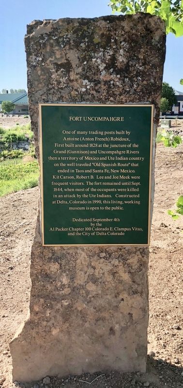
Fort Uncompahgre
Photographed by Mark Hilton, July 8, 2018
1. Fort Uncompahgre Marker
Antoine (Anton French) Robidoux,
First built around 1828 at the juncture of the
Grand (Gunnison) and Uncompahgre Rivers
then a territory of Mexico and Ute Indian country
on the well traveled "Old Spanish Route" that
ended in Taos and Santa Fe, New Mexico.
Kit Carson, Robert B. Lee and Joe Meek were
frequent visitors. The fort remained until Sept.
1844, when most of the occupants were killed
in an attack by the Ute Indians. Constructed
at Delta, Colorado in 1990, this living, working
museum is open to the public.
Erected 2004 by the Al Packer Chapter 100 Colorado E. Clampus Vitus and the City of Delta Colorado.
Topics and series. This historical marker is listed in these topic lists: Forts and Castles • Roads & Vehicles • Waterways & Vessels. In addition, it is included in the E Clampus Vitus series list. A significant historical year for this entry is 1828.
Location. 38° 44.961′ N, 108° 4.436′ W. Marker is in Delta, Colorado, in Delta County. It can be reached from North Palmer Street north of Confluence Drive, on the right when traveling north. Located near the Fort Uncompahgre Interpretive Center. Touch for map. Marker is at or near this postal address: 440 North Palmer Street, Delta CO 81416, United States of America. Touch for directions.

Regionally, this marker is in the Western Slope. It is also in the American Mountain West and on the Colorado Plateau. Globally, it is in North America, the Rocky Mountains, the Western Hemisphere, the Western World, and the Anglosphere. Historically, it finds itself in what was once Mexico’s Alta California.
Other nearby markers. At least 8 other markers are within walking distance of this marker: This is Ute Country (a few steps from this marker); Old Spanish National Historic Trail (within
this page online
Also see . . . Fort Uncompahgre Interpretive Center. National Park Service website entry (Submitted on December 17, 2022, by Larry Gertner of New York, New York.)
Photographed by Mark Hilton, July 8, 2018
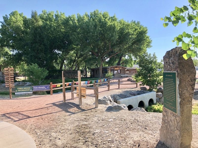
2. View from marker towards the Fort Uncompahgre Interpretive Center and fort.
Photographed by Mark Hilton, July 8, 2018
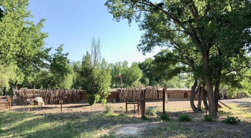
3. Replica of Fort Uncompahgre
Credits. This page was last revised on December 17, 2022. It was originally submitted on July 12, 2018, by Mark Hilton of Montgomery, Alabama. This page has been viewed 588 times since then and 64 times this year. Photos: 1, 2, 3. submitted on July 12, 2018, by Mark Hilton of Montgomery, Alabama.
