
Near Snyder in Kiowa County, Oklahoma — The American South (West South Central)
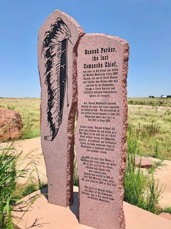
Quanah Parker, the Last Comanche Chief,
⎯⎯⎯
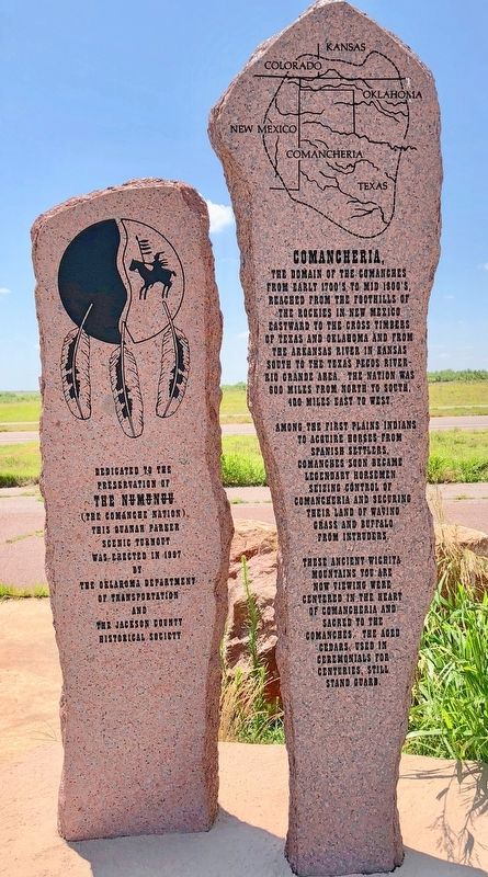
Comancheria
Photographed by Mark Hilton, June 26, 2018
1. Quanah Parker, the Last Comanche Chief, Marker
was born in Elk Creek just below the Wichita mountains circa 1850. Quanah, the son of Petah Nocony and Cynthia Ann Parker who was captured by the Comanches, became a fierce warrior and skillfully defended Comancheria against all invaders.
Col. Ranald McKenzie pursued Quanah for years but never captured or defeated him. The destruction of the buffalo forced Quanah to lead the Comanche down this trail to Fort Sill in June 1875.
A born leader, Quanah bridged the great gap between the old world as a War Chief to the new life as a Civil Chief without losing his Comanche identity. A prominent and influential figure, he made numerous trips to Washington to negotiate political and economic issues.
In 1889, he built Star House, a ten room two-story home ten miles NE of this site for his wives, children and anyone who was seeking help. Quanah was buried in 1911 at Post Oak Mission, seven miles NE and reburied 1957 at Fort Sill.
The spirit of Quanah Parker, the Eagle of the Comanches, welcomes you to his sacred home the Wichita Mountains.
The domain of the
this page online
Among the first Plains Indians to acquire horses from Spanish settlers, Comanches soon became legendary horsemen seizing control of Comancheria and securing their land of waving grass and buffaloes from intruders.
These ancient Wichita mountains you are now viewing were centered in the heart of Comancheria and sacred to the Comanches. The aged cedars, used in ceremonials for centuries, still stand guard.
Erected 1997 by the Oklahoma Department of Transportation and the Jackson County Historical Society.
Topics. This historical marker is listed in these topic lists: Indigenous Peoples and Communities • Natural Features. A significant historical month for this entry is June 1878.
Location. 34° 37.864′ N, 98° 50.204′ W. Marker is near Snyder, Oklahoma, in Kiowa County. It is on U.S. 62 0.6 miles west of County Road N2330, on the
Photographed by Mark Hilton, June 26, 2018
2. Comancheria Marker

Regionally, this marker is in Oklahoma’s Kiowa Tribe, in the Comanche Nation, and in Southwest Oklahoma. It is also in the American South, specifically on the prairies, and on the Southern Plains. Globally, it is in North America, the Western Hemisphere, the Western World, and the Anglosphere. Historically, it finds itself in what was once the Comanchería, the territory of the Mississippian Culture, and the Louisiana Purchase.
Other nearby markers. At least one other marker is within 10 miles of this marker, measured as the crow flies: Camp Radziminski (approx. 9.1 miles away).
More about this marker. Dedicated to the preservation of The NUMUNUU (The Comanche Nation)
This Quanah Parker scenic turnout was erected in 1997.
Also see . . .
1. Wikipedia article on Quanah Parker's Star House. (Submitted on July 12, 2018, by Mark Hilton of Montgomery, Alabama.)
2. Wikipedia article on Quanah Parker. (Submitted on July 12, 2018, by Mark Hilton of Montgomery, Alabama.)
3. Wikipedia article on the Comancheria.
Photographed by Mark Hilton, June 26, 2018
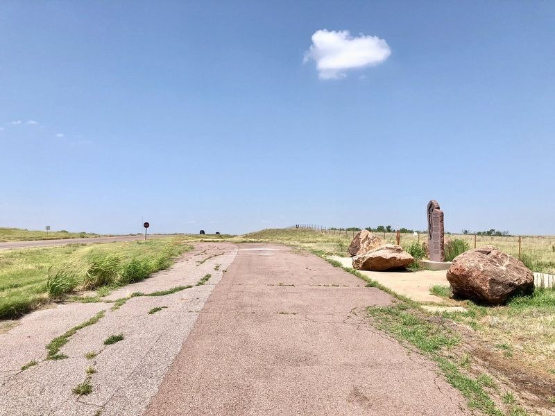
3. View of marker, looking west along pullout on U.S. Highway 62.
Photographed by Mark Hilton, June 26, 2018
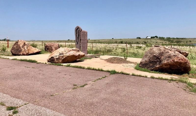
4. Quanah Parker, the Last Comanche Chief, / Comancheria Markers
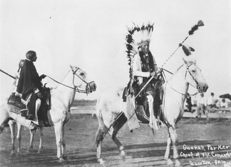
Photo courtesy of University of North Texas Libraries, The Portal to Texas History
5. Quanah Parker, Chief of the Comanches, Lawton, Okla.
Credits. This page was last revised on July 13, 2018. It was originally submitted on July 12, 2018, by Mark Hilton of Montgomery, Alabama. This page has been viewed 2,938 times since then and 205 times this year. Photos: 1, 2, 3, 4. submitted on July 12, 2018, by Mark Hilton of Montgomery, Alabama. 5. submitted on July 13, 2018.
