Near Sulphur Springs in Hopkins County, Texas — The American South (West South Central)
Historic Roadside Park
Photographed by Mark Hilton, June 25, 2018
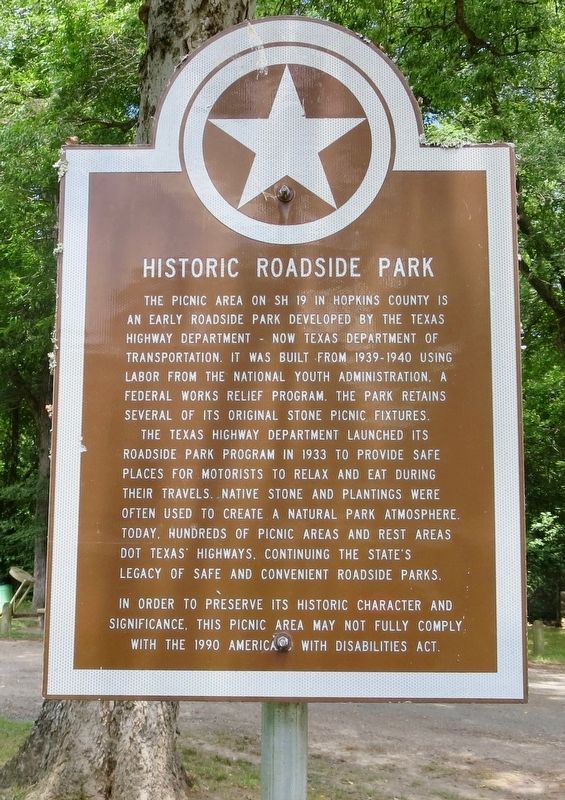
1. Historic Roadside Park Marker
The Texas Highway Department launched its roadside park program in 1933 to provide safe places for motorists to relax and eat during their travels. Native stone and plantings were often used to create a natural park atmosphere. Today, hundreds of picnic areas and rest areas dot Texas' Highways, continuing the state's legacy of safe and convenient roadside parks.
In order to preserve its historic character and significance, this picnic area may not fully comply with the 1990 Americans With Disabilities Act.
Erected by the State of Texas.
Topics. This historical marker is listed in these topic lists: Parks & Recreational Areas • Roads & Vehicles. A significant historical year for this entry is 1933.
Location. 33° 14.636′ N, 95° 35.053′ W. Marker is near Sulphur Springs, Texas, in Hopkins
this page online

Regionally, this marker is in the American South and in the Piney Woods. Globally, it is in North America, a Gulf of Mexico state, the Western Hemisphere, the Western World, and the Anglosphere. Historically, it finds itself in what was once New Spain, the Republic of Texas, one of the Confederate States of America, and the Antebellum South.
Other nearby markers. At least 8 other markers are within 8 miles of this marker, measured as the crow flies: Confederate Refugees in Texas, C. S. A. (here, next to this marker); Townsite of Tarrant (approx. 3.1 miles away); Sulphur Springs Volunteer Fire Department and Fire Bell of 1889 (approx. 7 miles away); George and Myra Wilson (approx. 7.1 miles away); Hopkins County Echo-Daily News-Telegram (approx. 7.2 miles away); First United Methodist Church of Sulphur Springs (approx. 7.3 miles away); Sulphur Springs Loan and Building Association
Photographed by Mark Hilton, June 25, 2018
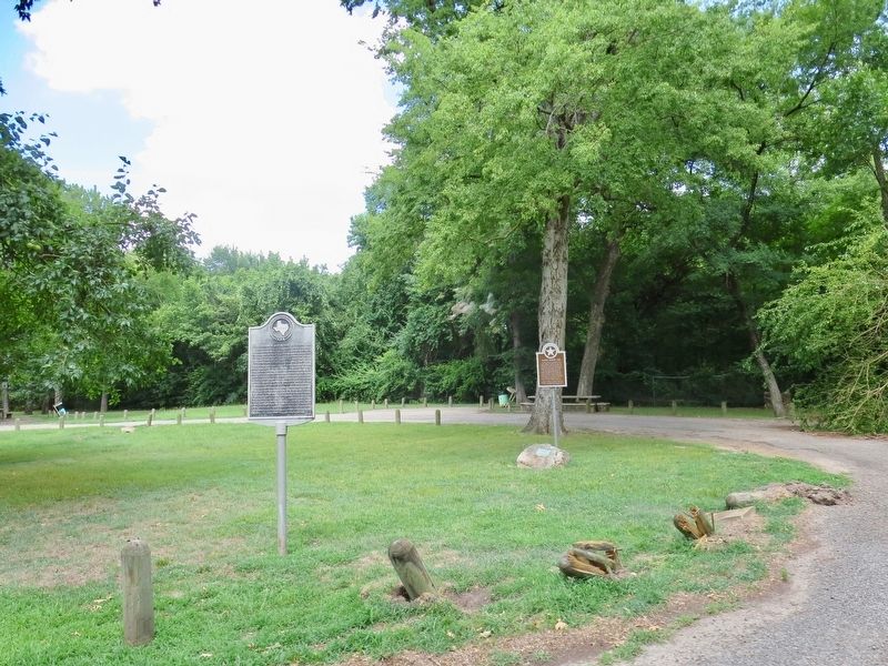
2. Historic Roadside Park Marker
Photographed by Mark Hilton, June 25, 2018
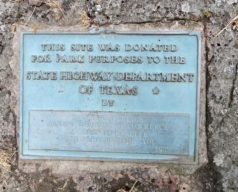
3. A small plaque noting the donation of the land to the State of Texas.
Photographed by Mark Hilton, June 25, 2018
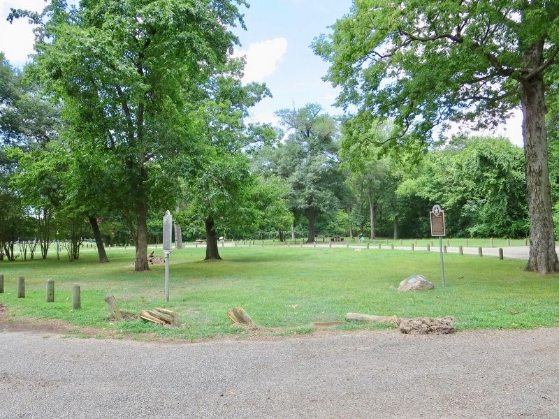
4. View of the Historic Roadside Park.
Credits. This page was last revised on July 17, 2018. It was originally submitted on July 17, 2018, by Mark Hilton of Montgomery, Alabama. This page has been viewed 614 times since then and 52 times this year. Photos: 1, 2, 3, 4. submitted on July 17, 2018, by Mark Hilton of Montgomery, Alabama.
