Port Tobacco in Charles County, Maryland — The American Northeast (Mid-Atlantic)
Discover Thomas Stone National Historic Site
More Than History...
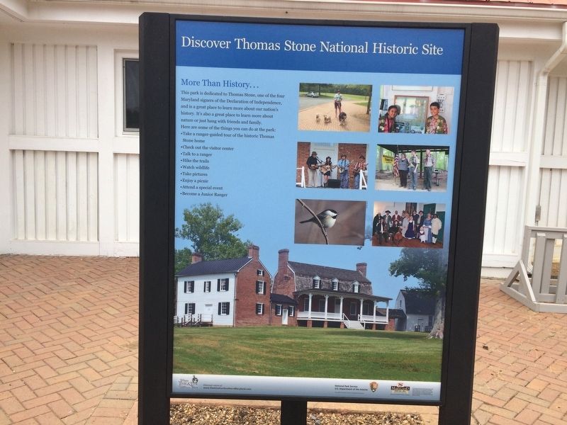
Photographed by David Lassman, July 21, 2018
1. Discover Thomas Stone National Historic Site Marker
Here are some of the things you can do at the park:
•Check out the visitor center
•Talk to a ranger
•Hike the trails
•Watch wildlife
•Take pictures
•Enjoy a picnic
•Attend a special event
•Become a Junior Ranger
Discover more at www.DestinationSouthernMaryland.com
National Park Service U.S. Department of the Interior
This project was funded in part by the National Park Service
This project has been financed in part with state funds from the Maryland Heritages Areas Authority, an instrumentality of the State of Maryland. However, the contents and opinions do not necessarily reflect views or policies of the Maryland Heritage Areas Authority.
Erected 2018 by The National Park Service, the Southern Maryland Heritage Area Consortium, and the Maryland Heritage Areas Authority.
Topics and series. This historical marker is listed in these
this page online
Location. 38° 31.817′ N, 77° 2.152′ W. Marker is in Port Tobacco, Maryland, in Charles County. It can be reached from Rose Hill Road 1.7 miles north of Port Tobacco Road. Enter Thomas Stone National Historic Site. Turn left at T-intersection. Marker is in front of the Visitor Center. Touch for map. Marker is at or near this postal address: 6655 Rose Hill Road, Port Tobacco MD 20677, United States of America. Touch for directions.

Regionally, this marker is in the Washington Metropolitan Area and in Southern Maryland. It is also in the American South, specifically in the Upper South, in the Mid-Atlantic, in the Tidewater, and on the Eastern Seaboard. Globally, it is in the North Atlantic Region, North America, the Western Hemisphere, the Western World, and the Anglosphere. Historically, it finds itself in what was once one of the original Thirteen Colonies and also the
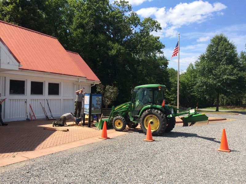
Photographed by David Lassman, July 19, 2018
2. Discover Thomas Stone National Historic Site Marker
Installation of marker on Thursday, July 19, 2018.
Other nearby markers. At least 8 other markers are within 2 miles of this marker, measured as the crow flies: Ways to Explore Southern Maryland’s Scenic and Historic Routes (a few steps from this marker); Discover Southern Maryland’s Amazing Stories of Exploration, Hope, and Courage (a few steps from this marker); Welcome to Haberdeventure! (a few steps from this marker); Thomas Stone (about 600 feet away, measured in a direct line); The Stones of Maryland (approx. 0.2 miles away); Rose Hill (approx. 0.7 miles away); a different marker also named Rose Hill (approx. 0.7 miles away); Port Tobacco (approx. 1.3 miles away). Touch for a list and map of all markers in Port Tobacco.
Also see . . .
1. Thomas Stone National Historic Site, National Park Service. (Submitted on January 16, 2019, by David Lassman of Waldorf, Maryland.)
2. Habre de Venture, Maryland's National Register Properties. (Submitted on January 17, 2019, by David Lassman of Waldorf, Maryland.)
3. Habre de Venture, National Register of Historic Places Nomination Form. (Submitted on January 17, 2019, by David Lassman of Waldorf, Maryland.)
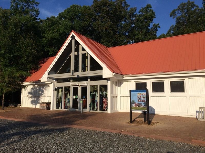
Photographed by David Lassman, July 20, 2018
3. Discover Thomas Stone National Historic Site Marker
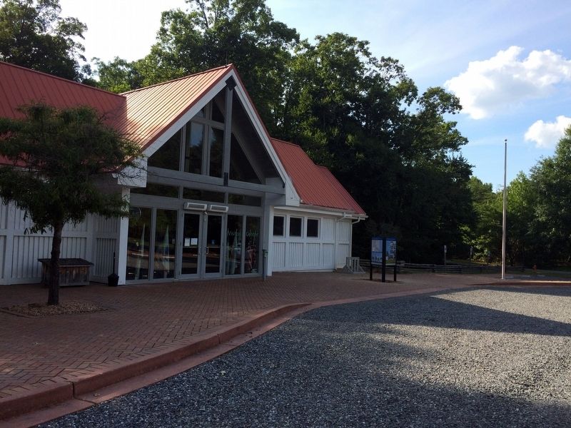
Photographed by David Lassman, July 19, 2018
4. Discover Thomas Stone National Historic Site Marker
Immediately after the installation of the marker on Thursday, July 19, 2018.
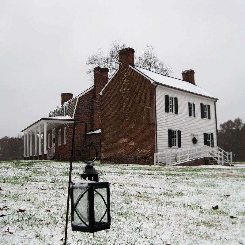
Photographed by David Lassman, November 15, 2018
5. Thomas Stone's Mansion. Located 1000 feet east of marker and Visitor Center.
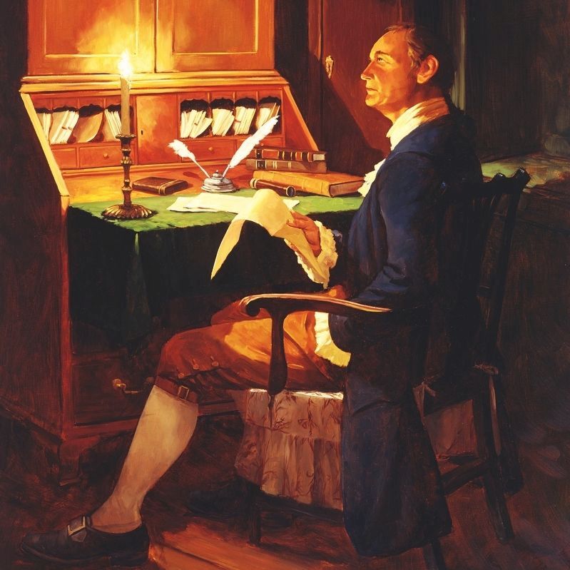
Photographed by National Park Service, Harpers Ferry Center, circa 1997
6. Thomas Stone, signer of the Declaration of Independence
Credits. This page was last revised on January 30, 2019. It was originally submitted on July 21, 2018, by David Lassman of Waldorf, Maryland. This page has been viewed 595 times since then and 42 times this year. Photos: 1, 2, 3, 4. submitted on July 21, 2018, by David Lassman of Waldorf, Maryland. 5, 6. submitted on January 14, 2019, by David Lassman of Waldorf, Maryland. • Bill Pfingsten was the editor who published this page.
