Near Leola in McPherson County, South Dakota — The American Midwest (Upper Plains)
Dan Ashe Waterfowl Production Area
Honoring a Commitment to Conservation of the Prairie Pothole Region
Photographed by Ruth VanSteenwyk, July 20, 2018
1. Dan Ashe Waterfowl Production Area Marker
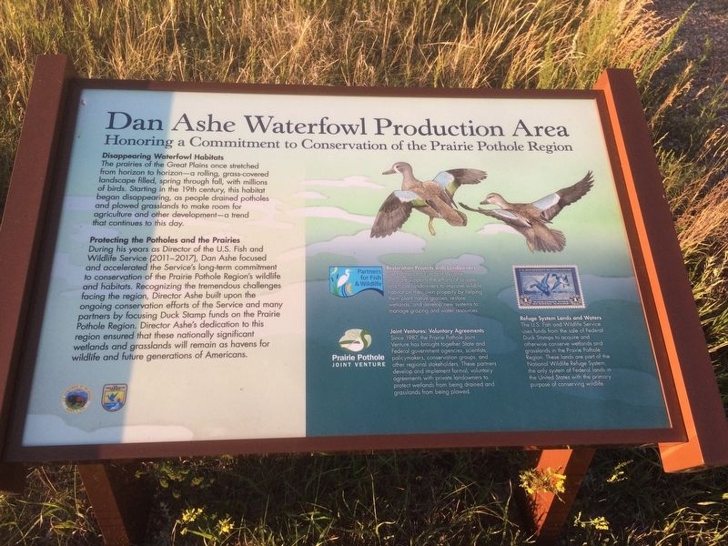
Disappearing Waterfowl Habits
The prairies of the Great Plain once stretched from horizon to horizon-a rolling, grass-covered landscape filled, spring through fall with millions of birds. Starting in the 19th century, this habitat began disappearing, as people drained potholes and plowed grasslands to make room for agriculture and other development - a trend that continues to this day.
Protecting the Potholes and the Prairies
During his years as Director of the U.S. Fish and Wildlife Service (2011-2017), Dan Ashe focused and accelerated the Service's long-term commitment to conservation of the Prairie Pothole Region's wildlife and habitats. Recognizing the tremendous challenges facing the region, Director Ashe built upon the ongoing conservation efforts of the Service and many partners by focusing Duck Stamp funds on the Prairie Pothole Region. Director Ashe's dedication to this region ensured that these nationally significant wetlands and grasslands will remain as havens for wildlife and future generations of Americans.
Restoration Projects with Landowners
The Partners for Fish and Wildlife program supports
this page online
Joint Ventures: Voluntary Agreements
Since 1987, the Prairie Pothole Joint Venture has brought together State and Federal government agencies, scientists, policymakers, conservation groups, and other regional stake holders. These partners develop and implement formal, voluntary agreements with private landowners to protect wetlands from being drained and grasslands from being plowed.
Refuge System Lands and Waters
The U.S. Fish and Wildlife Service uses funds from the sale of Federal Duck Stamps to acquire and otherwise conserve wetlands and grasslands in the Prairie Pothole Region. These lands are part of the National Wildlife Refuge System, the only system of Federal lands in the United States with the primary purpose of conserving wildlife.
Erected by Department of the Interior and US Fish & Wildlife Service.
Topics. This historical marker is listed in these topic lists: Environment • Parks & Recreational Areas. A significant historical year for this entry is 1987.
Location. 45° 44.302′ N,
Photographed by Ruth VanSteenwyk, July 20, 2018
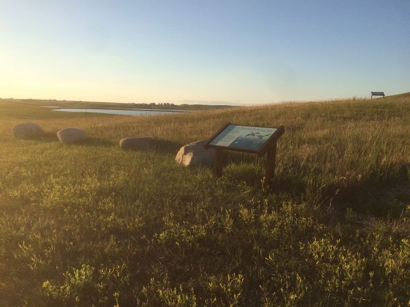
2. Dan Ashe Waterfowl Production Area Marker

Regionally, this marker is in East River. It is also in the American Lewis & Clark Corridor, on the prairies, and on the Northern Plains. Globally, it is in North America, the Western Hemisphere, the Western World, and the Anglosphere. Historically, it finds itself in what was once Rupert’s Land and also the Louisiana Purchase.
Other nearby markers. At least 2 other markers are within 5 miles of this marker, measured as the crow flies: Prairie Potholes (within shouting distance of this marker); Samuel H. Ordway, Jr. Memorial Prairie (approx. 4.3 miles away).
Photographed by Ruth VanSteenwyk, July 14, 2018
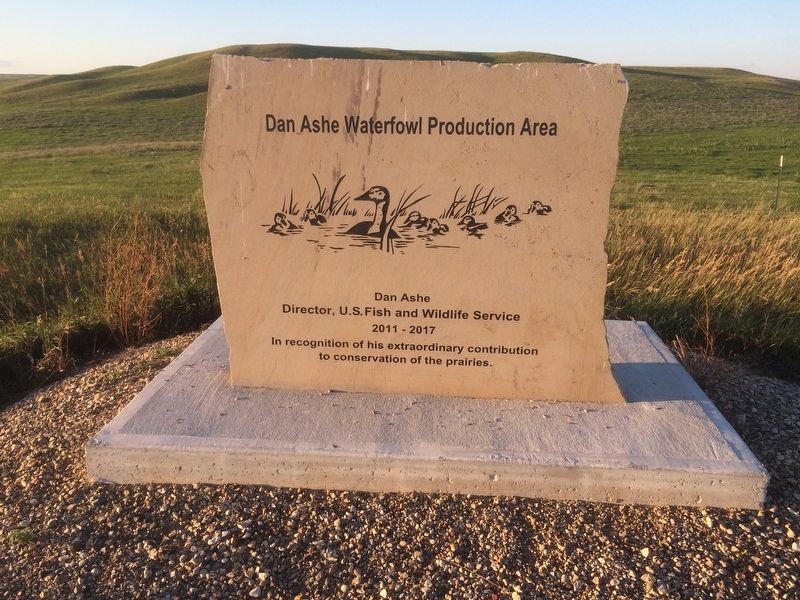
3. Dan Ashe Waterfowl Production Area
Credits. This page was last revised on July 22, 2018. It was originally submitted on July 21, 2018, by Ruth VanSteenwyk of Aberdeen, South Dakota. This page has been viewed 260 times since then and 46 times this year. Photos: 1, 2, 3. submitted on July 21, 2018, by Ruth VanSteenwyk of Aberdeen, South Dakota. • Andrew Ruppenstein was the editor who published this page.
