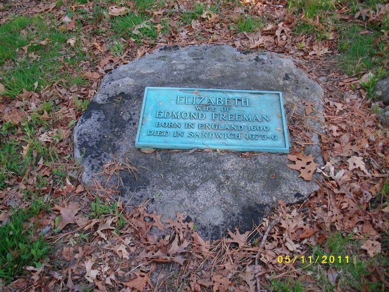
Sandwich in Barnstable County, Massachusetts — The American Northeast (New England)
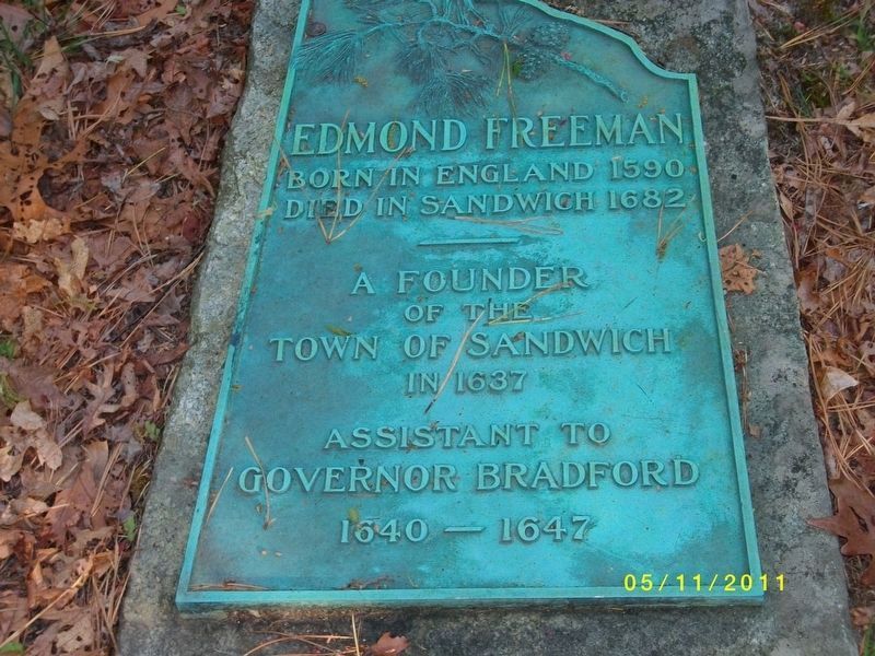
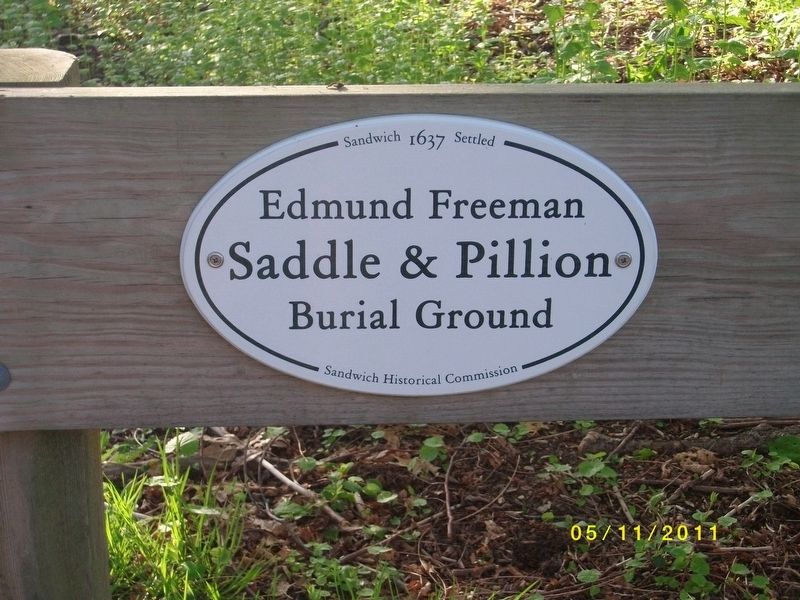
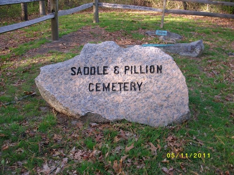
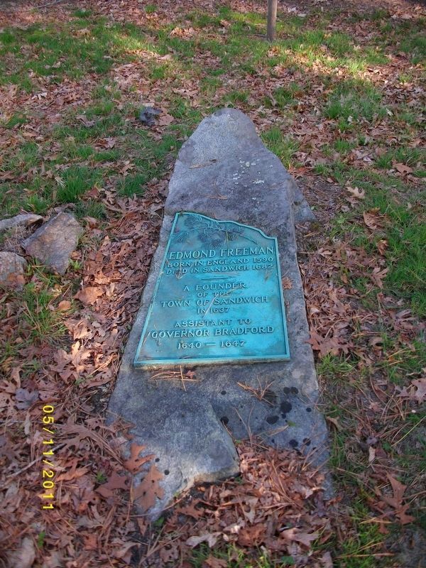
Edmund Freeman Saddle & Pillion Burial Ground
Topics. This historical marker is listed in these topic lists: Cemeteries & Burial Sites • Colonial Era • Settlements & Settlers. A significant historical year for this entry is 1637.
Location. 41° 46.032′ N, 70° 31.152′ W. Marker is in Sandwich, Massachusetts, in Barnstable County. Marker is on Wilson Road. Touch for map. Marker is in this post office area: Sandwich MA 02563, United States of America. Touch for directions.
Other nearby markers. At least 8 other markers are within 2 miles of this marker, measured as the crow flies. Tupper Family Homestead (approx. 0.2 miles away); Sagamore Hill Trail (approx. 0.6 miles away); 241st Coast Artillery (approx. 0.9 miles away); Ready Rooms (approx. 0.9 miles away); Panama Mount (approx. 0.9 miles away); Changes Through Time (approx. one mile away); Battle Of The Bulge (approx. 1.1 miles away); Sandwich Civil War Monument (approx. 1.1 miles away). Touch for a list and map of all markers in Sandwich.
Also see . . . Historic Tid-bits of Cape Cod's Oldest Town. (Submitted on July 26, 2018, by Pam Scheib of York, Pennsylvania.)
Credits. This page was last revised on November 22, 2019. It was originally submitted on July 24, 2018. This page has been viewed 375 times since then and 15 times this year. Photos: 1, 2, 3, 4, 5. submitted on July 24, 2018. • Bill Pfingsten was the editor who published this page.
