Near Greenville in Butler County, Alabama — The American South (East South Central)
Ogly-Stroud Massacre / Gary's Stockade
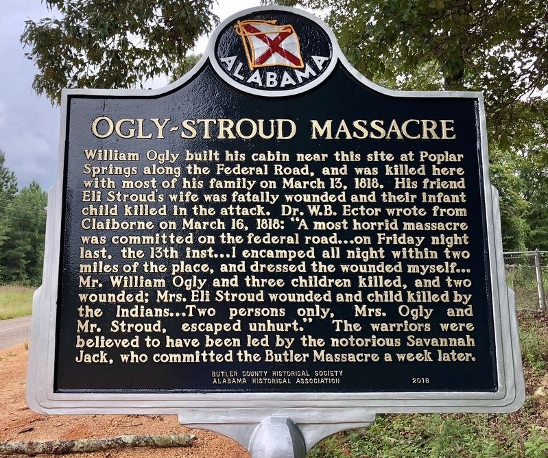
William Ogly built his cabin near this site at Poplar Springs along the Federal Road, and was killed here with most of his family on March 13, 1818. His friend Eli Stroud's wife was fatally wounded and their infant child killed in the attack. Dr. W.B. Ector wrote from Claiborne on March 16, 1818: "A most horrid massacre was committed on the federal road...on Friday night last, the 13th inst...I encamped all night within two miles of the place, and dressed the wounded myself... Mr. William Ogly and three children killed, and two wounded; Mrs. Eli Stroud wounded and child killed by the Indians...Two persons only Mrs. Ogly and Mr. Stroud, escaped unhurt." The warriors were believed to have been led by the notorious Savannah Jack, who committed the Butler Massacre a week later.
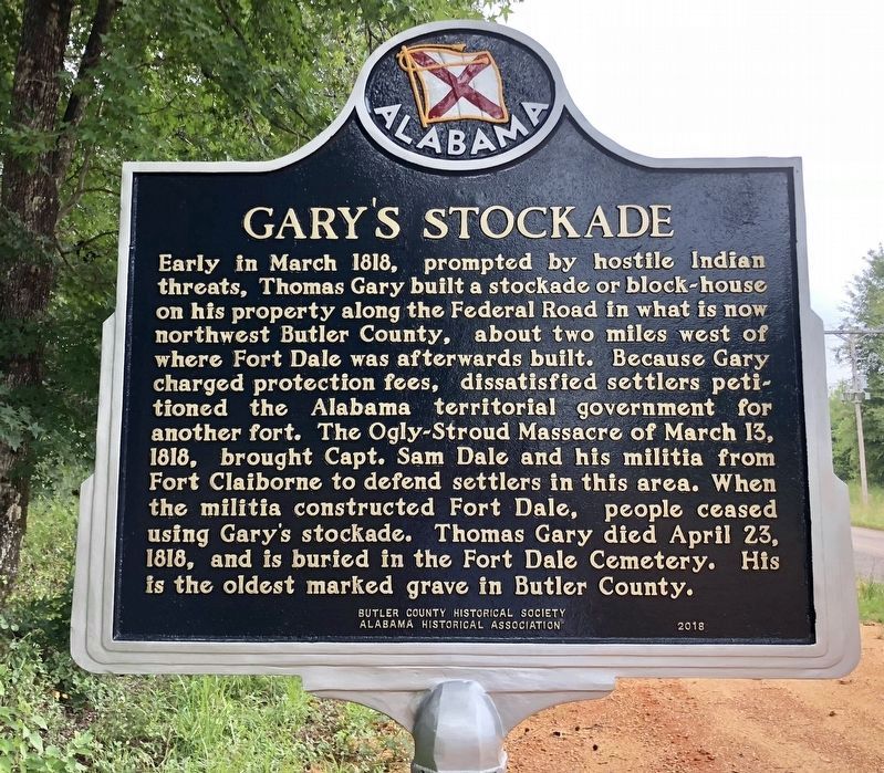
Early in March 1818, prompted by hostile Indian threats, Thomas Gary built a stockade or block house on his property along the Federal Road in what is now northwest Butler County, about two miles west of where Fort Dale was afterwards built. Because Gary charged protection fees, dissatisfied settlers petitioned the Alabama territorial government for another fort. The Ogly-Stroud Massacre of March 13, 1818, brought Capt. Sam Dale and his militia from Fort Claiborne to defend settlers in this area. When the militia constructed Fort Dale, people ceased using Gary's stockade. Thomas Gary died April 23, 1818, and is buried in the Fort Dale Cemetery. His is the oldest marked grave in Butler County.
Erected 2018 by Butler County Historical Society, Alabama Historical Association.
Topics and series. This historical marker is listed in these topic lists: Forts and Castles • Native Americans • Notable Events • Settlements & Settlers. In addition, it is included in the Alabama Historical Association series list. A significant historical date for this entry is March 13, 1818.
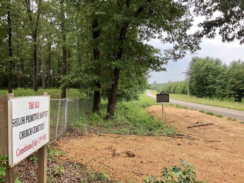
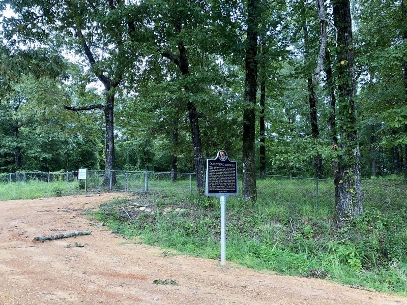
Location. 31° 52.697′ N, 86° 42.448′ W. Marker is near Greenville, Alabama, in Butler County. Marker is on Sherling Lake Road (Road 44) 0.4 miles north of Ridge Road (County Road 54), on the right when traveling north. Located next to the Old Shiloh Cemetery. Touch for map. Marker is at or near this postal address: Sherling Lake Road, Greenville AL 36037, United States of America. Touch for directions.
Other nearby markers. At least 8 other markers are within 6 miles of this marker, measured as the crow flies. Bartram's Trail (approx. 1.7 miles away); Sherling Lake (approx. 2.4 miles away); The Federal Road and The Palings / Fort Dale 1818 (approx. 3.3 miles away); Coleman-Crenshaw House (approx. 3.4 miles away); West Commerce Street Historic District/Historic Greenville Depot (approx. 5.8 miles away); Butler County World War I Memorial (approx. 5.8 miles away); The Camellia City / Greenville (approx. 6 miles away); Greenville City Hall-Site of Public School / Confederate Park (approx. 6 miles away). Touch for a list and map of all markers in Greenville.
More about this marker. Formerly located on U.S. Highway 31, south of Greenville, these were two different markers (now missing) about these events:
The Ogly Massacre marker read: Two frontier families were tomahawked, killed, and scalped by Creek Indians, March 13, 1818. This is one of several such raids on frontier families after Indians lost their lands.
The Gary’s Stockade marker read: 7 miles from marker. Built in 1818 by Thomas Gary as protection from the Indians. Settlers, indignant at the fee charged by Gary, built Fort Dale five miles west of this marker.
Also see . . .
1. 1818 - Ogly Massacre was one of the most bloody events in local history. Dispatches from the LP-OP blogsite entry (Submitted on July 31, 2018, by Mark Hilton of Montgomery, Alabama.)
2. The Ogly Massacre. Mollie Waters blogsite entry (Submitted on July 31, 2018, by Mark Hilton of Montgomery, Alabama.)
Credits. This page was last revised on September 2, 2022. It was originally submitted on July 31, 2018, by Mark Hilton of Montgomery, Alabama. This page has been viewed 1,662 times since then and 130 times this year. Photos: 1, 2, 3, 4. submitted on July 31, 2018, by Mark Hilton of Montgomery, Alabama.


