Near Wilmington in Clinton County, Ohio — The American Midwest (Great Lakes)
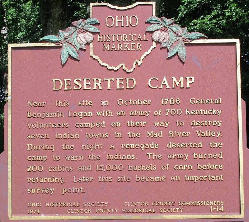
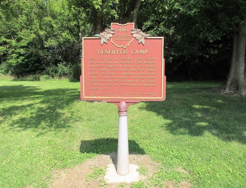
Deserted Camp
Erected 1974 by The Ohio Historical Society, Clinton County Commissioners, Clinton County Historical Society. (Marker Number 1-14.)
Topics and series. This memorial is listed in these topic lists: Native Americans • Settlements & Settlers • Wars, US Indian. In addition, it is included in the Ohio Historical Society / The Ohio History Connection series list.
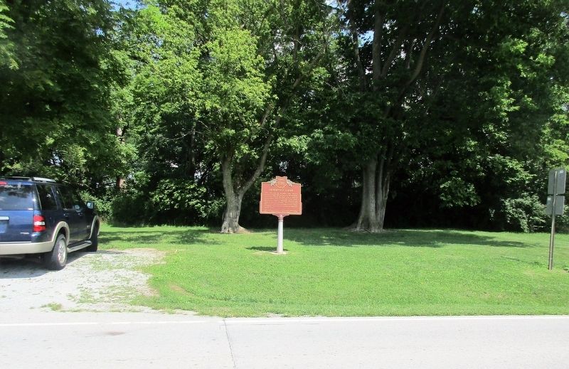
Location. 39° 28.564′ N, 83° 47.233′ W. Marker is near Wilmington, Ohio, in Clinton County. Memorial is at the intersection of Prairie Road (County Route 21) and Starbuck Road (County Route 11), on the left when traveling east on Prairie Road. Touch for map. Marker is at or near this postal address: 3119 Prairie Road, Wilmington OH 45177, United States of America. Touch for directions.
Other nearby markers. At least 8 other markers are within 3 miles of this marker, measured as the crow flies. Wilmington War Memorial (approx. 2.3 miles away); J. W. Denver Williams, Jr. (approx. 2.3 miles away); 302 TAW C-119 Accident Memorial (approx. 2.4 miles away); 907 TAG C-119G Accident Memorial (approx. 2.4 miles away); 302nd TCW Aircraft Accident Memorial (approx. 2.4 miles away); 302 TAW C-123 Accident Memorial (approx. 2.4 miles away); Military Air Disaster (approx. 2.4 miles away); 1968 Clinton County AFB C-119G Plane Crash (approx. 2.4 miles away). Touch for a list and map of all markers in Wilmington.
Also see . . . Northwest Indian War (Wikipedia). "The Northwest Indian War (1785–1795), also known as the Ohio War, Little Turtle's War, and by other names, was a war between the United States and a confederation of numerous Native American tribes, with support from the British, for control of the Northwest Territory. It followed centuries of conflict over this territory, first among Native American tribes, and then with the added shifting alliances among the tribes and the European powers of France and Great Britain, and their colonials." (Submitted on August 3, 2018.)
Credits. This page was last revised on August 3, 2018. It was originally submitted on August 3, 2018, by Rev. Ronald Irick of West Liberty, Ohio. This page has been viewed 628 times since then and 60 times this year. Photos: 1, 2, 3. submitted on August 3, 2018, by Rev. Ronald Irick of West Liberty, Ohio. • Andrew Ruppenstein was the editor who published this page.


