Near Grangeville in Idaho County, Idaho — The American West (Mountains)
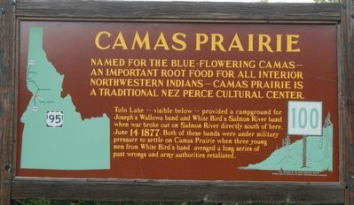
Camas Prairie
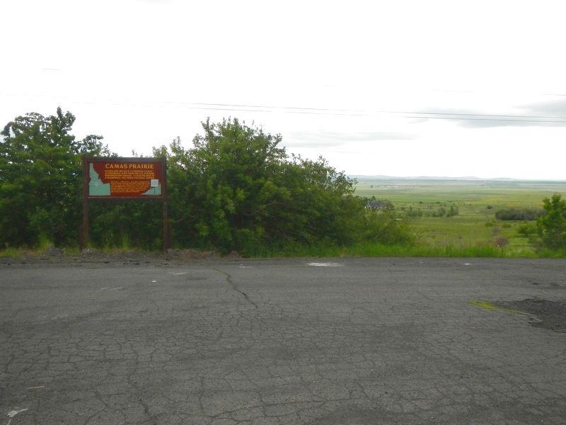
Tolo Lake -- visible below -- provided a campground for Joseph’s Wallowa band and White Bird’s Salmon River band when war broke out on Salmon River directly south of here, June 14, 1877. Both of these bands were under military pressure to settle on Camas Prairie when three young men from White Bird’s band avenged a long series of past wrongs and army authorities retaliated.
Erected by Idaho Department of Transportation. (Marker Number 100.)
Topics and series. This historical marker is listed in these topic lists: Native Americans • Wars, US Indian. In addition, it is included in the Idaho State Historical Society, and the The Nez Perce Trail series lists. A significant historical date for this entry is June 14, 1877.
Location. 45° 52.547′ N, 116° 13.714′ W. Marker is near Grangeville, Idaho, in Idaho County. Marker is on U.S. 95 near Lake Road, on the left when traveling north. Touch for map. Marker is in this post office area: Grangeville ID 83530, United States of America. Touch for directions.
Other nearby markers. At least 8 other markers are within 6 miles of this marker, measured as the crow flies. White Bird Grade (approx. 2.4 miles away); Salmon River (approx. 2½ miles away); Gathering at Tipahxlee’whum (Tepahlewam) (approx. 2.7 miles away); Nez Perce War (approx. 5.8 miles away); White Bird Battlefield (approx. 5.8 miles away); A Mammoth Discovery (approx. 6.1 miles away); Gold Pans and Whipsaws (approx. 6.1 miles away); The Camas Prairie Mammoth (approx. 6.1 miles away). Touch for a list and map of all markers in Grangeville.
Credits. This page was last revised on October 30, 2018. It was originally submitted on August 5, 2018, by Barry Swackhamer of Brentwood, California. This page has been viewed 452 times since then and 47 times this year. Photos: 1, 2. submitted on August 5, 2018, by Barry Swackhamer of Brentwood, California. 3. submitted on October 30, 2018, by Barry Swackhamer of Brentwood, California.


