Near Cottonwood in Idaho County, Idaho — The American West (Mountains)
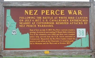
Nez Perce War
East of here on July 5, 1877, Nez Perce warriors created a strategic diversion by surrounding 17 Mount Idaho volunteers. Two of the volunteers were killed and three wounded before help arrived fro the U.S. forces stationed at Cottonwood. Meantime the Nez Perce bands crossed the prairie to join allies on the Clearwater. A circuitous path led to Montana an the War's end in October 1877.
Erected by Idaho Department of Transportation. (Marker Number 38.)
Topics and series. This historical marker is listed in these topic lists: Native Americans • Wars, US Indian. In addition, it is included in the Idaho State Historical Society, and the The Nez Perce Trail series lists. A significant historical date for this entry is July 4, 1877.
Location. 46° 1.596′ N, 116° 19.674′ W. Marker is near Cottonwood, Idaho, in Idaho County. Marker is at the intersection of U.S. 95 and Airport Road, on the right when traveling north on U.S. 95. Touch for map. Marker is in this post office area: Cottonwood ID 83522, United States of America. Touch for directions.
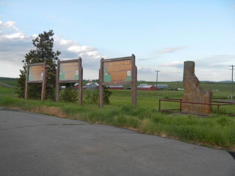
Other nearby markers. At least 8 other markers are within 12 miles of this marker, measured as the crow flies. Nez Perce War - Foster''s Gravesite (here, next to this marker); Seventeen Volunteers (here, next to this marker); Lewis and Clark (a few steps from this marker); Gathering at Tipahxlee’whum (Tepahlewam) (approx. 8.8 miles away); Camas Prairie (approx. 10.7 miles away); Tolo, Alab-lemot (approx. 11½ miles away); The Eimers Legacy (approx. 11½ miles away); The Camas Connection (approx. 11½ miles away). Touch for a list and map of all markers in Cottonwood.
More about this marker. Four markers are located at the turnout near the Highway 95 and Airport Road intersection.
This marker replaces a earlier #38 marker which read:
"A gatling gun firing from the top of a low hill a mile northwest of here beat off a Nez Perce attack, July 4, 1877. Next day, Indians just east of here surrounded 17 Mt. Idaho volunteers: 2 were killed and 3 wounded before cavalrymen from Cottonwood came out to rescue them. Meanwhile, Chief Joseph’s people, screened by this well-planned diversionary skirmish, crossed the prairie to join their allies on the Clearwater. From there the Indians retired across the mountains to Montana, where the Nez Perce War ended 3 months later."
Credits. This page was last revised on August 5, 2018. It was originally submitted on August 5, 2018, by Barry Swackhamer of Brentwood, California. This page has been viewed 295 times since then and 26 times this year. Photos: 1, 2. submitted on August 5, 2018, by Barry Swackhamer of Brentwood, California.

