Malvern in Hot Spring County, Arkansas — The American South (West South Central)
Bridging the Ouachita River
Photographed by Mark Hilton, August 2, 2018
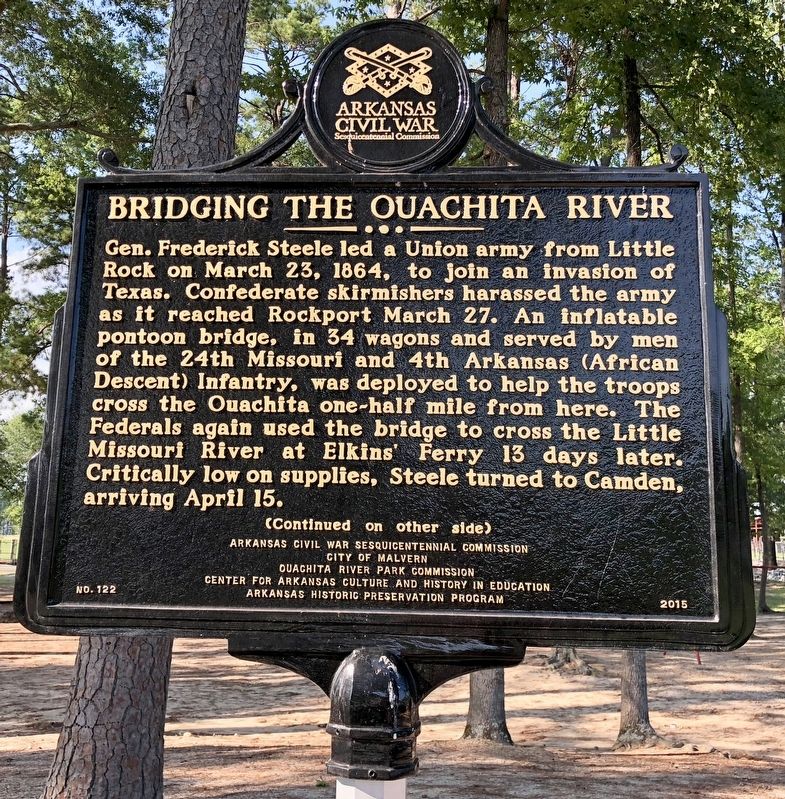
1. Bridging the Ouachita River Marker (front)
Gen. Frederick Steele led a Union army from Little Rock on March 23, 1864, to join an invasion of Texas. Confederate skirmishers harassed the army as it reached Rockport March 27. An inflatable pontoon bridge, in 34 wagons and served by men of the 24th Missouri and 4th Arkansas (African Descent) Infantry, was deployed to help the troops cross the Ouachita one-half mile from here. The Federals again used the bridge to cross the Little Missouri River at Elkins’ Ferry 13 days later. Critically low on supplies, Steele turned to Camden, arriving April 15.
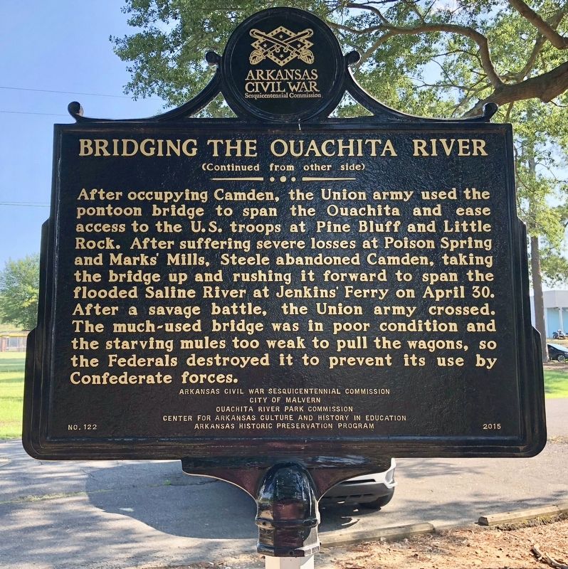
After occupying Camden, the Union army used the pontoon bridge to span the Ouachita and ease access to the U.S. troops at Pine Bluff and Little Rock. After suffering severe losses at Poison Spring and Marks’ Mills, Steele abandoned Camden, taking the bridge up and rushing it forward to span the flooded Saline River at Jenkins’ Ferry on April 30. After a savage battle, the Union army crossed. The much-used bridge was in poor condition and the starving mules too weak to pull the wagons, so the Federals destroyed it to prevent its use by Confederate forces.
Erected 2015
this page online
Topics and series. This historical marker is listed in these topic lists: African Americans • Bridges & Viaducts • War, US Civil • Waterways & Vessels. In addition, it is included in the Arkansas Civil War Sesquicentennial Commission series list. A significant historical date for this entry is March 23, 1864.
Location. 34° 22.912′ N, 92° 49.589′ W. Marker is in Malvern, Arkansas, in Hot Spring County. It is on Pavilion Road east of Martin Luther King Boulevard (Business U.S. 270), on the left when traveling east. Located at Malvern City Park. Touch for map. Marker is at or near this postal address: Pavilion Road, Malvern AR 72104, United States of America. Touch for directions.

Regionally, this marker is in Arkansas’ Ouachita Mountains. It is also in the American South and specifically in the Upper South. Globally, it is in North America, the Western Hemisphere, the Western World, and the Anglosphere.
Photographed by Mark Hilton, August 2, 2018
2. Bridging the Ouachita River Marker (rear)
Other nearby markers. At least 7 other markers are within 14 miles of this marker, measured as the crow flies: Rockport Cemetery (approx. 0.3 miles away); War Memorial (approx. 1½ miles away); Arkansas Sesquicentennial (approx. 1½ miles away); The Boyle House (approx. 1½ miles away); Military Road / Settlement of Midway (approx. 11.6 miles away); Hot Springs Country Club (approx. 13.4 miles away); Indian Trail (approx. 13½ miles away).
Photographed by Mark Hilton, August 2, 2018
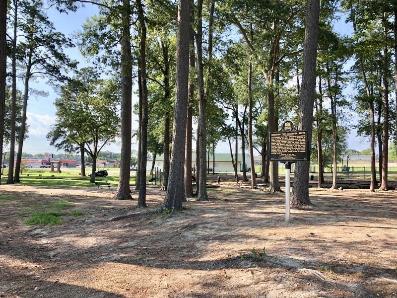
3. Marker at the Malvern City Park, about 4,000 feet east of the Ouachita River.
Photographed by Mark Hilton, August 2, 2018
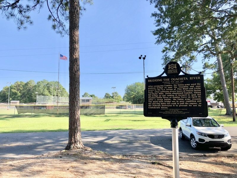
4. View from marker looking south towards downtown Malvern.
Credits. This page was last revised on November 24, 2024. It was originally submitted on August 5, 2018, by Mark Hilton of Montgomery, Alabama. This page has been viewed 909 times since then and 42 times this year. Photos: 1, 2, 3, 4. submitted on August 5, 2018, by Mark Hilton of Montgomery, Alabama.
