Mount Holly in Union County, Arkansas — The American South (West South Central)
Mount Holly Cemetery
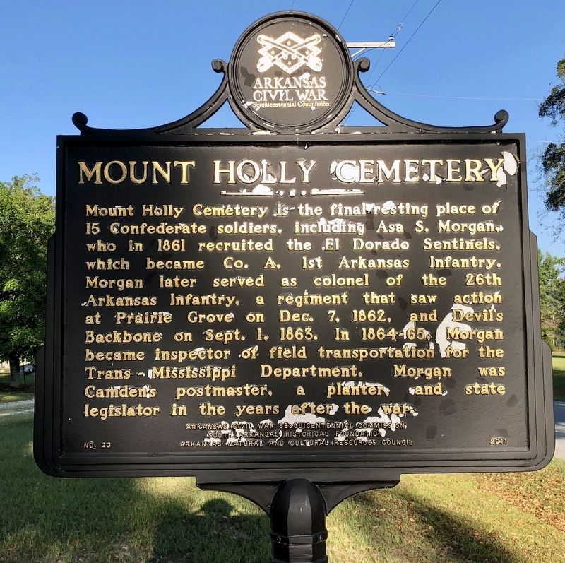
Photographed by Mark Hilton, August 2, 2018
1. Mount Holly Cemetery Marker
Erected 2011 by Arkansas Civil War Sesquicentennial Commission, South Arkansas Historical Foundation, Arkansas Natural and Cultural Resources Council. (Marker Number 23.)
Topics and series. This historical marker is listed in these topic lists: Cemeteries & Burial Sites • Communications • War, US Civil. In addition, it is included in the Arkansas Civil War Sesquicentennial Commission series list. A significant historical date for this entry is September 1, 1863.
Location. 33° 18.045′ N, 92° 56.901′ W. Marker is in Mount Holly, Arkansas, in Union County. It is on Mount Holly Highway (Arkansas
this page online

Regionally, this marker is in Arkansas’ Gulf Coastal Plain and in Timberlands. It is also in the American South, specifically in the Upper South, and in the Piney Woods. Globally, it is in North America, the Western Hemisphere, the Western World, and the Anglosphere. Historically, it finds itself in what was once the territory of the Mississippian Culture, the Louisiana Purchase, one of the Confederate States of America, and the Antebellum South.
Other nearby markers. At least 2 other markers are within 15 miles of this marker, measured as the crow flies: Mount Holly, Birthplace of Arkansas Governor Thomas C. McRae, 1921-1925 (approx. 0.4 miles away); AF 45-35160 (approx. 14.4 miles away).
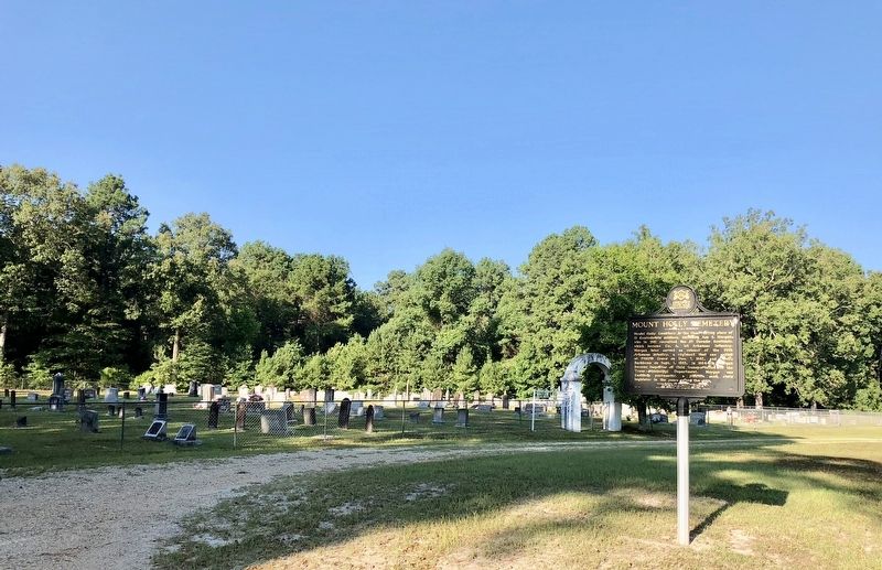
Photographed by Mark Hilton, August 2, 2018
2. View of marker and Mount Holly Cemetery.
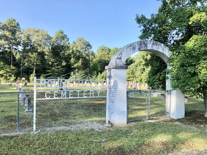
Photographed by Mark Hilton, August 2, 2018
3. Mount Holly Cemetery entrance gate.
Credits. This page was last revised on October 30, 2019. It was originally submitted on August 5, 2018, by Mark Hilton of Montgomery, Alabama. This page has been viewed 484 times since then and 45 times this year. Photos: 1, 2, 3. submitted on August 5, 2018, by Mark Hilton of Montgomery, Alabama.
