
Near Leola in Grant County, Arkansas — The American South (West South Central)
Jenkins Ferry
⎯⎯⎯
Pontoon Bridge
Photographed by Mark Hilton, August 2, 2018
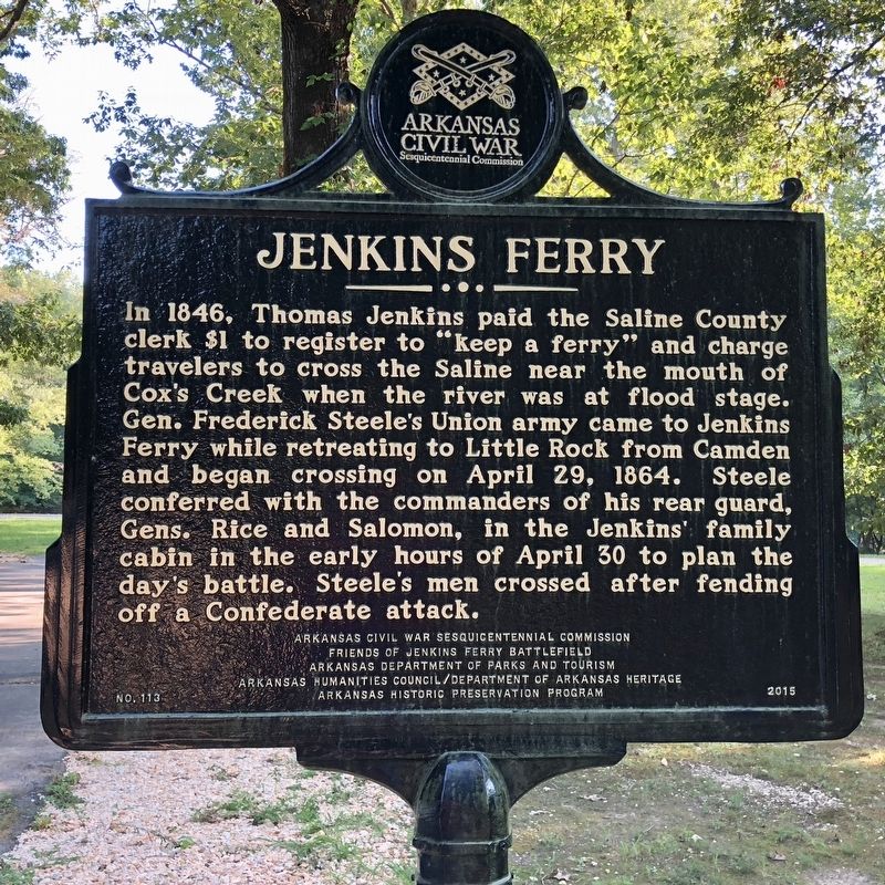
1. Jenkins Ferry Marker
In 1846, Thomas Jenkins paid the Saline County clerk $1 to register to “keep a ferry” and charge travelers to cross the Saline near the mouth of Cox’s Creek when the river was at flood stage. Gen. Frederick Steele’s Union army came to Jenkins Ferry while retreating to Little Rock from Camden and began crossing on April 29, 1864. Steele conferred with the commanders of his rear guard, Gens. Rice and Salomon, in the Jenkins’ family cabin in the early hours of April 30 to plan the day’s battle. Steele’s men crossed after fending off a Confederate attack.
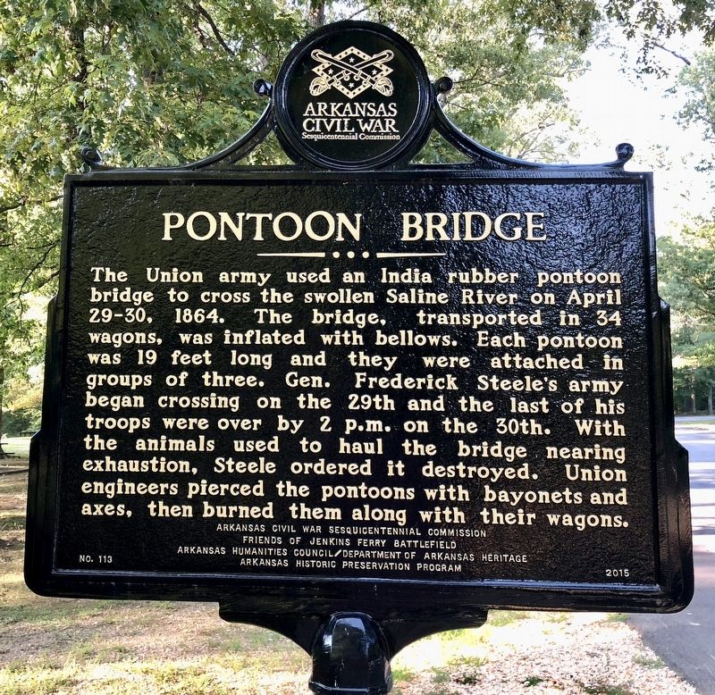
The Union army used an India rubber pontoon bridge to cross the swollen Saline River on April 29-30, 1864. The bridge, transported in 34 wagons, was inflated with bellows. Each pontoon was 19 feet long and they were attached in groups of three. Gen. Frederick Steele’s army began crossing on the 29th and the last of his troops were over by 2 p.m. on the 30th. With the animals used to haul the bridge nearing exhaustion, Steele ordered it destroyed. Union engineers pierced the pontoons with bayonets and axes, then burned them
this page online
Erected 2015 by Arkansas Civil War Sesquicentennial Commission, Friends of Jenkins Ferry Battlefield, Arkansas Department of Parks and Tourism, Arkansas Humanities Council/Department of Arkansas Heritage, Arkansas Historic Preservation Program. (Marker Number 113.)
Topics and series. This historical marker is listed in these topic lists: Bridges & Viaducts • War, US Civil • Waterways & Vessels. In addition, it is included in the Arkansas Civil War Sesquicentennial Commission series list. A significant historical date for this entry is April 29, 1864.
Location. 34° 12.701′ N, 92° 32.906′ W. Marker is near Leola, Arkansas, in Grant County. It is on Highway 46 2 miles south of Highway 291, on the right when traveling south. Located within the Jenkins Ferry Battlefield State Park. Touch for map. Marker is in this post office area: Leola AR 72084, United States of America. Touch for directions.

Regionally, this marker is in the Little Rock Metropolitan Area. It is also in the American South and specifically in the Upper South. Globally, it is in North America, the Western Hemisphere, the Western World,
Photographed by Mark Hilton, August 2, 2018
2. Pontoon Bridge Marker
Other nearby markers. At least 8 other markers are within 10 miles of this marker, measured as the crow flies: Red River Campaign (within shouting distance of this marker); General Samuel Rice / Confederate Cannons Captured (within shouting distance of this marker); Battle of Jenkins' Ferry (about 400 feet away, measured in a direct line); Refugee Children / Supplies Destroyed (approx. 2 miles away); Officers Killed / Union Wounded (approx. 3 miles away); Skirmish at Guesses Creek (approx. 5.8 miles away); Clash at Whitten's Mill (approx. 7.2 miles away); Carthage Historical Marker (approx. 9.7 miles away). Touch for a list and map of all markers in Leola.
Another marker is no longer nearby. Confederate Headquarters / Confederate Flank Attack (was approx. 3.4 miles away but has been confirmed missing).
Also see . . . Wikipedia article on the Battle of Jenkins Ferry. (Submitted on August 6, 2018, by Mark Hilton of Montgomery, Alabama.)
Photographed by Mark Hilton, August 2, 2018
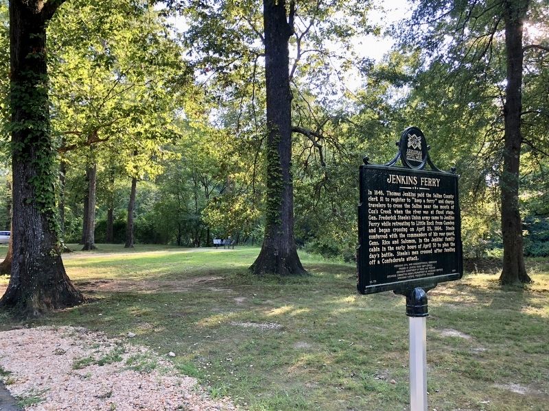
3. Jenkins Ferry Marker looking towards more markers.
Photographed by Mark Hilton, August 2, 2018
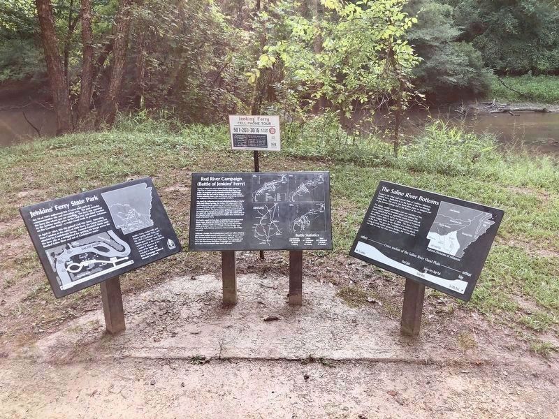
4. Nearby markers about the Battle at Jenkins Ferry.
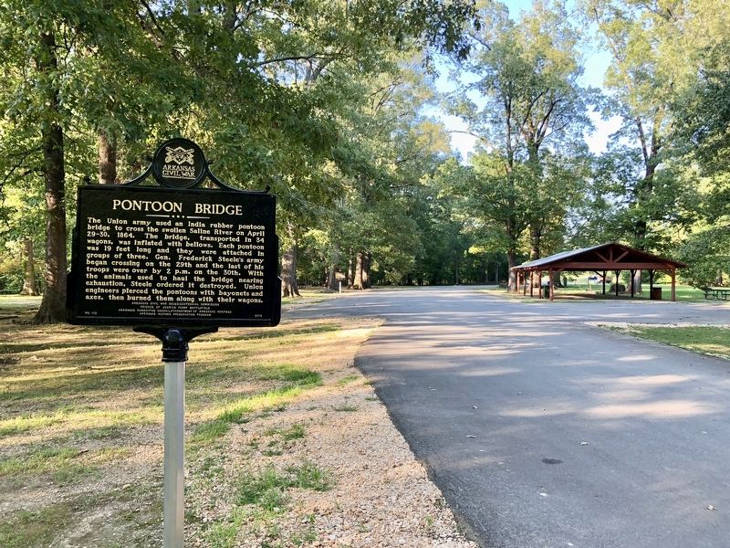
Photographed by Mark Hilton, August 2, 2018
5. Pontoon Bridge Marker at park picnic area.
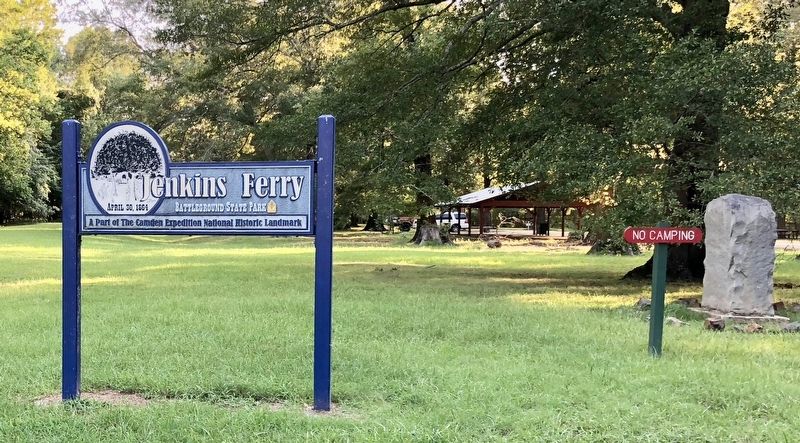
Photographed by Mark Hilton, August 2, 2018
6. Jenkins Ferry Battleground State Park entrance.
Credits. This page was last revised on August 6, 2018. It was originally submitted on August 6, 2018, by Mark Hilton of Montgomery, Alabama. This page has been viewed 1,185 times since then and 62 times this year. Photos: 1, 2, 3, 4, 5, 6. submitted on August 6, 2018, by Mark Hilton of Montgomery, Alabama.
