Near Delhi in Richland Parish, Louisiana — The American South (West South Central)
Insley Mounds
Ancient Mounds Trail
Photographed by Mark Hilton, August 1, 2018
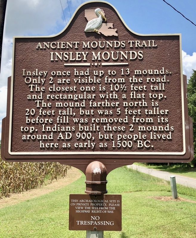
1. Insley Mounds Marker
Insley once had up to 13 mounds. Only 2 are visible from the road. The closest one is 10½ feet tall and rectangular with a flat top. The mound farther north is 20 feet tall, but was 5 feet taller before fill was removed from its top. Indians built these 2 mounds around AD 900, but people lived here as early as 1500 BC.
Lower plaque:
No Trespassing
Erected by the State of Louisiana.
Topics and series. This historical marker is listed in these topic lists: Anthropology & Archaeology • Indigenous Peoples and Communities • Settlements & Settlers. In addition, it is included in the Louisiana Ancient Mounds Trail series list. A significant historical year for this entry is 1500 BCE.
Location. 32° 23.253′ N, 91° 28.681′ W. Marker is near Delhi, Louisiana, in Richland Parish. It is on Frankie Loftin Road 1.4 miles south of Military Road, on the right when traveling south. Touch for map. Marker is at or near this postal address: 651 Frankie Loftin Road, Delhi LA 71232, United States of America. Touch for directions.

Regionally,
this page online
Other nearby markers. At least 2 other markers are within 8 miles of this marker, measured as the crow flies: Marsden Mounds (approx. 6.9 miles away); Tendal Mound (approx. 7.1 miles away).
Also see . . . Indian Mounds of Northeast Louisiana - Insley Mounds. (Submitted on August 6, 2018, by Mark Hilton of Montgomery, Alabama.)
Photographed by Mark Hilton, August 1, 2018
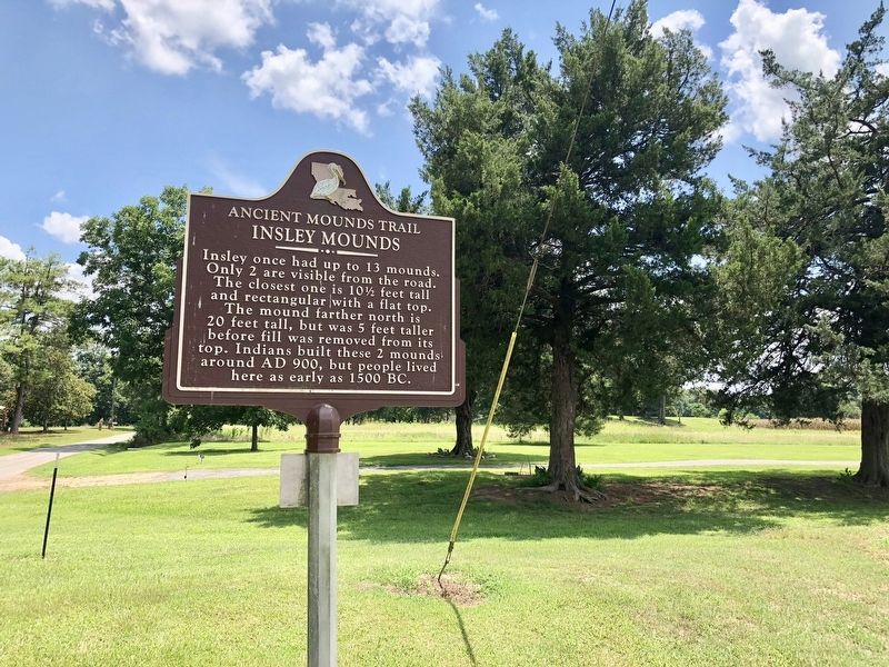
2. One of the Insley Mounds can just be seen in the background amongst the trees.
Photographed by Mark Hilton, August 1, 2018
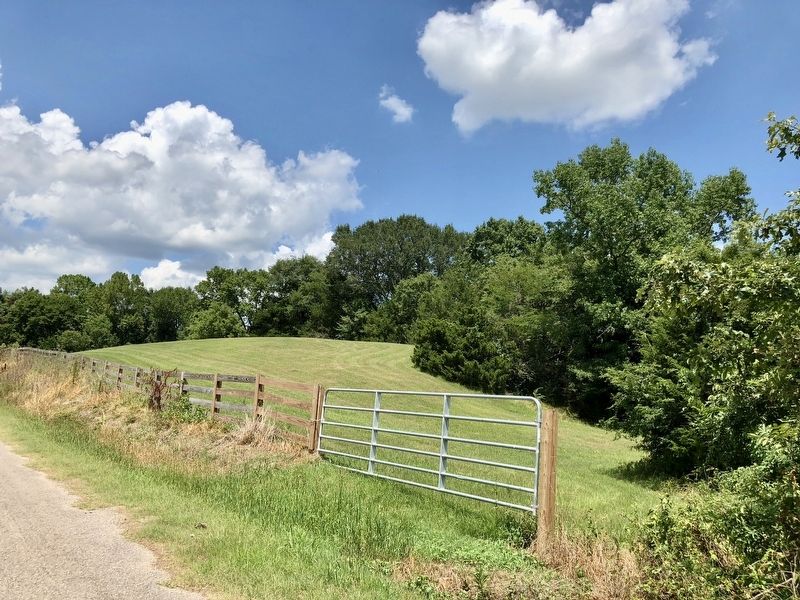
3. The 20 foot mound (B), just north of the marker.
Photographed by State of Louisiana, August 6, 2018
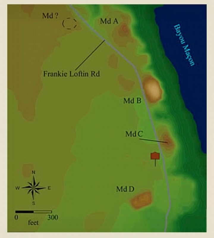
4. Insley Mounds Map
Credits. This page was last revised on November 14, 2024. It was originally submitted on August 6, 2018, by Mark Hilton of Montgomery, Alabama. This page has been viewed 1,058 times since then and 73 times this year. Photos: 1, 2, 3, 4. submitted on August 6, 2018, by Mark Hilton of Montgomery, Alabama.
