Vacherie in St. James Parish, Louisiana — The American South (West South Central)
Le Chemin Militaire
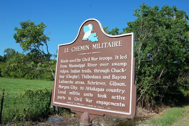
Photographed by Cajun Scrambler, August 4, 2018
1. Le Chemin Militaire Marker
Route used by Civil War troops. It led from Mississippi River over swamp ridges, Indian trails, through Chackbay (Chegby), Thibodaux and Bayou Lafourche areas, Schriever, Gibson, Morgan City, to Attakapas country. Local militia units took active parts in Civil War engagements.
Erected 1962 by The Department of Commerce and Industry.
Topics. This historical marker is listed in these topic lists: Roads & Vehicles • War, US Civil.
Location. 29° 56.328′ N, 90° 42.833′ W. Marker is in Vacherie, Louisiana, in St. James Parish. It is at the intersection of State Highway 20 and Guidry Street, on the left when traveling south on State Highway 20. Touch for map. Marker is in this post office area: Vacherie LA 70090, United States of America. Touch for directions.

Regionally, this marker is in one of the River Parishes and in Greater New Orleans. It is also in the American South, specifically in the Deep South, on the Gulf Coast, and in the Great River Road Region. Globally, it is in North America, a Gulf of Mexico state, the Western Hemisphere, the Western
this page online
Other nearby markers. At least 8 other markers are within 6 miles of this marker, measured as the crow flies: Notre Dame de la Paix (approx. 1.9 miles away); Hero's Tomb (approx. 1.9 miles away); Bayou Heron Graveyard (approx. 3.7 miles away); In Honor and Remembrance (approx. 3.9 miles away); Colonel Leopold L. Armant (approx. 4.8 miles away); Vacherie (approx. 4.9 miles away); "Le Petit Versailles" (approx. 5.3 miles away); Bourgeois Homeplace / Site Familial des Bourgeois (approx. 5.9 miles away). Touch for a list and map of all markers in Vacherie.
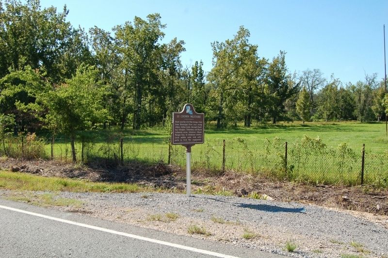
Photographed by Cajun Scrambler, August 4, 2018
2. Le Chemin Militaire Marker
Credits. This page was last revised on December 11, 2022. It was originally submitted on August 6, 2018, by Cajun Scrambler of Assumption, Louisiana. This page has been viewed 1,297 times since then and 189 times this year. Photos: 1, 2. submitted on August 6, 2018.
