Near Weches in Houston County, Texas — The American South (West South Central)
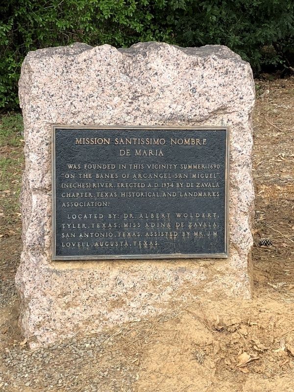
Mission Santissimo Nombre de Maria
Located by: Dr. Albert Woldert, Tyler, Texas; Miss Adina De Zavala, San Antonio, Texas. Assisted by Mr. J.M. Lovell, Augusta, Texas.
Erected 1934 by De Zavala Chapter, Texas Historical and Landmarks Association. (Marker Number 7012.)
Topics and series. This historical marker is listed in these topic lists: Churches & Religion • Colonial Era • Native Americans. In addition, it is included in the Daughters of the American Revolution series list. A significant historical year for this entry is 1690.
Location. 31° 34.566′ N, 95° 10.112′ W. Marker is near Weches, Texas, in Houston County. Marker is on State Highway 21, 1.9 miles west of County Road 2907, on the right when traveling west. Touch for map. Marker is in this post office area: Grapeland TX 75844, United States of America. Touch for directions.
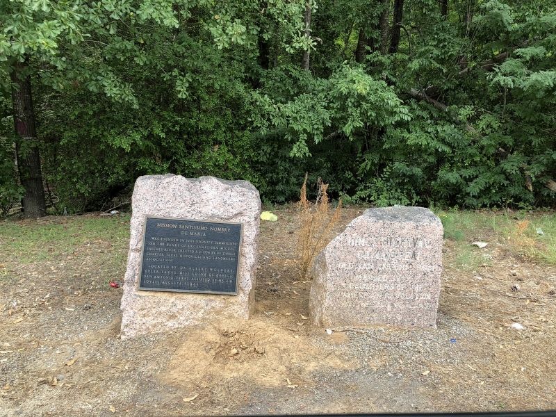
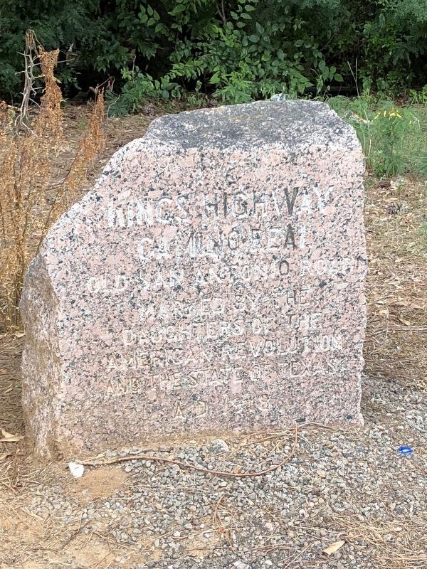
Other nearby markers. At least 8 other markers are within 2 miles of this marker, measured as the crow flies. Kings Highway Camino Real — Old San Antonio Road (a few steps from this marker); Weeping Mary Community (approx. 1.6 miles away); High Temple Mound (approx. 1.6 miles away); Borrow Pit (approx. 1.7 miles away); Low Platform Mound (approx. 1.7 miles away); Village Life (approx. 1.7 miles away); Burial Mound (approx. 1.8 miles away); Natural Spring (approx. 1.8 miles away).
Also see . . . Santissimo Nombre de Maria Mission - The Handbook of Texas Online. Texas State Historical Association (TSHA) (Submitted on August 9, 2018, by Brian Anderson of Humble, Texas.)
Credits. This page was last revised on August 10, 2018. It was originally submitted on August 7, 2018, by Brian Anderson of Humble, Texas. This page has been viewed 367 times since then and 44 times this year. Photos: 1, 2, 3. submitted on August 9, 2018, by Brian Anderson of Humble, Texas. • Andrew Ruppenstein was the editor who published this page.


