Orangeville in Wyoming County, New York — The American Northeast (Mid-Atlantic)
Stony Brook Glen
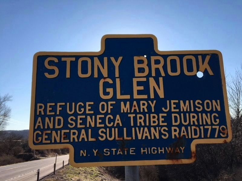
Photographed by C. Norton, April 29, 2018
1. Stony Brook Glen Marker
Glen
Refuge of Mary Jemison
and Seneca tribe during
General Sullivan's raid 1779
Erected by New York State Highway Department.
Topics and series. This historical marker is listed in these topic lists: Indigenous Peoples and Communities • War, US Revolutionary • Women. In addition, it is included in the Mary Jemison - White Woman of the Genessee, and the The Sullivan-Clinton Expedition Against the Iroquois Indians series lists. A significant historical year for this entry is 1779.
Location. 42° 45.308′ N, 78° 17.684′ W. Marker is in Orangeville, New York, in Wyoming County. It is on Varysburg Road (U.S. 20A) 0.4 miles east of New York State Route 98, on the left when traveling east. Touch for map. Marker is in this post office area: Varysburg NY 14167, United States of America. Touch for directions.

Regionally, this marker is in Upstate New York, specifically in Western New York, and in the Finger Lakes. It is also in the American Northeast and in the Mid-Atlantic. Globally, it is in North America, the Western Hemisphere, the Western World, and the Anglosphere. Historically,
this page online
Other nearby markers. At least 8 other markers are within 8 miles of this marker, measured as the crow flies: Daniel Richards (approx. 0.2 miles away); Site of U.S. CCC Camp #1285 (approx. 3½ miles away); Turner's Corners (approx. 4.7 miles away); Persons Cemetery (approx. 5½ miles away); Ziba Hamilton (approx. 6.3 miles away); St. Cecilia's (approx. 6.4 miles away); Attica Female Seminary (approx. 7.6 miles away); Elizur Webster (approx. 7.8 miles away).
Also see . . . Mary Jemison - Wikipedia. (Submitted on August 7, 2018, by Anton Schwarzmueller of Wilson, New York.)
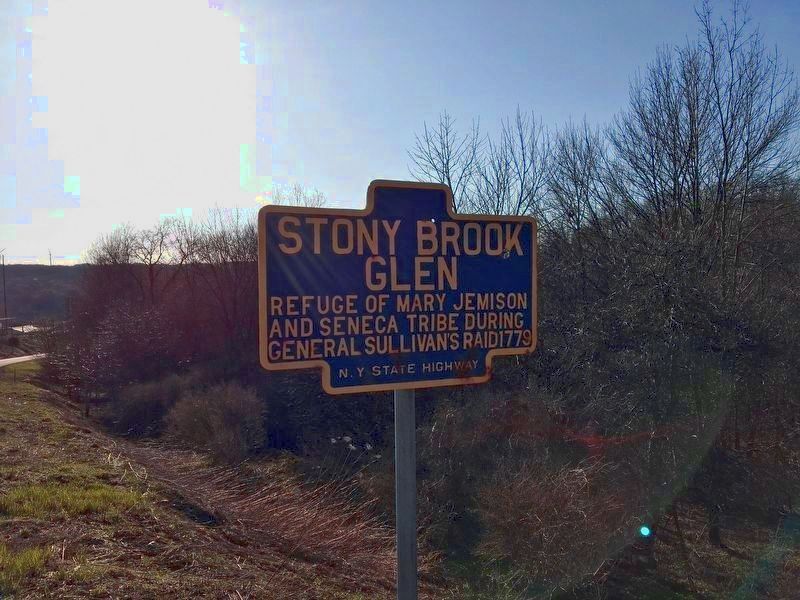
Photographed by C. Norton, April 2018
2. Stony Brook Glen Marker
(picture brightened)
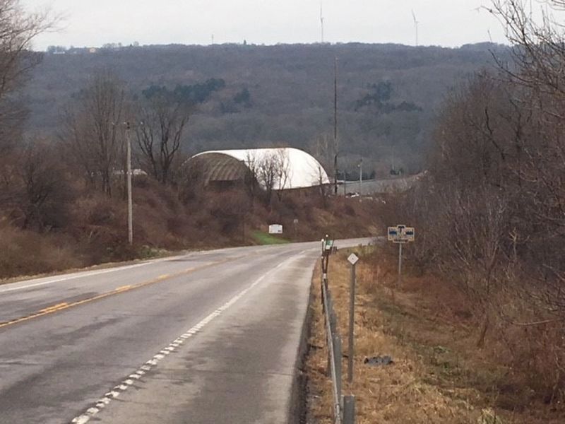
Photographed by C. Norton
3. Stony Brook Glen Marker
Westward on US route 20A
Credits. This page was last revised on September 22, 2020. It was originally submitted on August 7, 2018, by Anton Schwarzmueller of Wilson, New York. This page has been viewed 1,777 times since then and 143 times this year. Photos: 1. submitted on November 2, 2018, by Anton Schwarzmueller of Wilson, New York. 2. submitted on August 7, 2018, by Anton Schwarzmueller of Wilson, New York. 3. submitted on January 4, 2019, by Anton Schwarzmueller of Wilson, New York.
