Near Stites in Idaho County, Idaho — The American West (Mountains)
Nez Perce War
Photographed by Barry Swackhamer, May 5, 2018
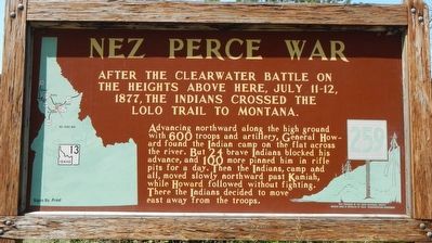
1. Nez Perce War Marker
After the Clearwater Battle on the heights above here, July 11-12, 1877, the Indians crossed the Lolo Trail to Montana.
Advancing northward along the high ground with 600 troops and artillery, General Howard found the Indians camped on the flat across the river. But 24 brave Indians blocked his advance, and 100 more pinned him in rifle pits for a day. Then the Indians, camp and all, moved slowly northward past Kamiah, while Howard followed without fighting. There the Indians decided to move east away from the troops.
Erected by Idaho Department of Transportation. (Marker Number 259.)
Topics and series. This historical marker is listed in these topic lists: Indigenous Peoples and Communities • Wars, US Indian. In addition, it is included in the Idaho State Historical Society, and the The Nez Perce Trail series lists. A significant historical date for this entry is July 11, 1877.
Location. 46° 4.578′ N, 115° 58.518′ W. Marker is near Stites, Idaho, in Idaho County. It is on State Highway 13 at milepost 21 near Stites Grade Road, on the left when traveling north. Touch for map. Marker is in this post office area: Stites
this page online

Regionally, this marker is in North Idaho — Idaho’s Panhandle. It is also in the American Mountain West, specifically in the Pacific Northwest, and in the Lewis & Clark Corridor. Globally, it is in North America, the Rocky Mountains, the Western Hemisphere, the Western World, and the Anglosphere.
Other nearby markers. At least 8 other markers are within 10 miles of this marker, measured as the crow flies: Looking Glass (approx. 4.2 miles away); History of a Frontier Community (approx. 4.4 miles away); Kooskia Crossing Kiosk (approx. 5 miles away); Harpster (approx. 6.2 miles away); Elk City Wagon Road (approx. 6.2 miles away); Nimiipuu Cycle of Life (approx. 8.4 miles away); Trails at Heart of the Monster (approx. 9.4 miles away); Nez Perce National Historical Park (approx. 9.4 miles away).
Also see . . . The Clearwater Battle of '77 -- Lewiston Tribune. As usual, no one was in complete command of the Nez Perce. Even if one group had gained majority sentiment that night, the minority would not have been bound to go along with the plan. The next morning while those soldiers who had water-brewed coffee, many of the older Nez Perce retired into a sheltered spot in the ravine, there to smoke stoically until the battle neared its close.
Photographed by Barry Swackhamer, May 5, 2018
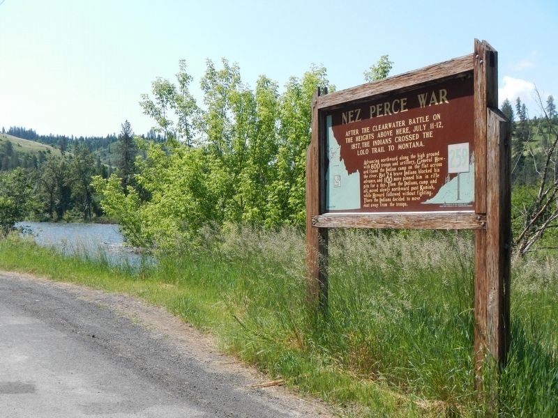
2. Nez Perce War Marker
Credits. This page was last revised on May 31, 2024. It was originally submitted on August 8, 2018, by Barry Swackhamer of Brentwood, California. This page has been viewed 544 times since then and 52 times this year. Photos: 1, 2. submitted on August 8, 2018, by Barry Swackhamer of Brentwood, California.
