
Oswego Landing
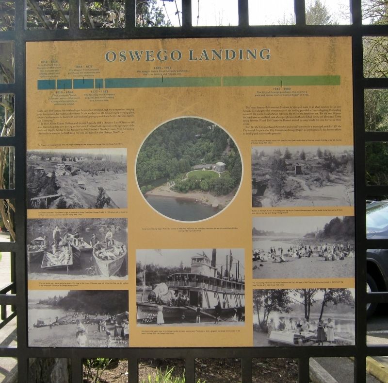
In 1850 Albert Alonzo Durham and his wife Miranda filed a Donation Land Claim on 640 acres that included the river landing and the creek. Durham built a sawmill on the upper part of the creek and shipped lumber to San Francisco and the Sandwich Islands (Hawaii) from the landing. He founded a town on the bluff above the river and named it after Oswego, New York.
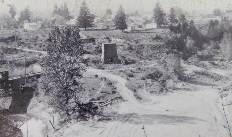
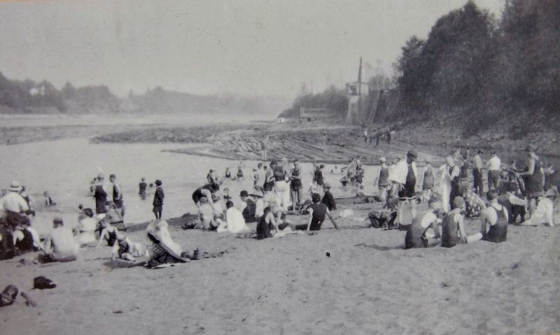
The same features that attracted Durham to this spot made it an ideal location for an iron furnace. The lake provided waterpower and the landing provided access to shipping. The landing remained the town's transportation hub until the end of the steamboat era. For the next 60 years the beach was an unofficial park where people launched boats, fished, swam, and picnicked. Every spring between 75 and 250 Gypsies or Romani arrived to camp beside
this page online
In 1945 the City purchased the twelve-and-a-half-acre site for a municipal park. In 1952 the City named the park after City Councilman George Rogers in appreciation for his devoted efforts to develop and maintain the grounds.
-
(Timeline above text:)
1850-1858 A.A. Durham files a Donation Land Claim that includes the landing, creek, and future town site.
1858-1864 The Episcopal Church purchases most of Durham's Claim and establishes a missionary school.
1864-1877 The Oregon Iron Company purhases the riverfront site for a blast furnace.
1877-1882 The Oswego Iron Company acquires the river landing and furnace site.
1882-1945 The Oregon Iron & Steel Company purchases the river landing and furnace site.
1945-2000 The City of Oswego purchases the site for a park and names it after George Rogers in 1952.
Topics. This historical marker is listed in these topic lists: Industry & Commerce • Parks & Recreational Areas • Settlements & Settlers • Waterways & Vessels. A significant historical year for this entry is 1850.
Location. 45° 24.632′ N, 122° 39.639′ W. Marker is in Lake Oswego,

Regionally, this marker is in the Willamette Valley and in Greater Portland Area. It is also on the American Pacific Coast, in the Pacific Northwest, and in the Lewis & Clark Corridor. Globally, it is in North America, in the Cascade Range, on the Ring of Fire, in the Pacific Rim, in the Western Hemisphere, in the Western World, and in the Anglosphere.
Other nearby markers. At least 8 other markers are within walking distance of this marker: The First People (here, next to this marker); Lower Oswego Creek Bridge (a few steps from this marker); Salamander (within shouting distance of this marker); the man from k̓ašxəʼkšix returned with eels to feed his people (within shouting distance of this marker); Green Street (within shouting distance of this marker); Old Town (approx. 0.2 miles away); Iron Company Worker's Cottage (approx. 0.2 miles away); George Rogers House - 1929 (approx.
Credits. This page was last revised on August 8, 2018. It was originally submitted on August 8, 2018, by Andrew Ruppenstein of Lamorinda, California. This page has been viewed 905 times since then and 70 times this year. Photos: 1, 2, 3, 4, 5. submitted on August 8, 2018, by Andrew Ruppenstein of Lamorinda, California.
