Lapwai in Nez Perce County, Idaho — The American West (Mountains)
Ant & Yellowjacket
Photographed by Barry Swackhamer, May 6, 2018
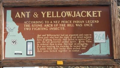
1. Ant & Yellowjacket Marker
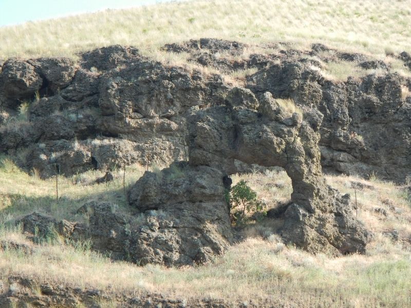
Ant and Yellowjacket had an argument and came to blows over who had the right to eat dried salmon here. Fighting fiercely, they failed to notice Coyote, the all-powerful animal spirit. Even when he ordered them to stop, they kept on struggling. For not heeding his warning, he turned them to stone while their backs were arched and their jaws locked together in combat.
Erected by Idaho Department of Transportation. (Marker Number 264.)
Topics and series. This historical marker is listed in these topic lists: Anthropology & Archaeology • Indigenous Peoples and Communities. In addition, it is included in the Idaho State Historical Society series list.
Location. 46° 26.739′ N, 116° 50.624′ W. Marker is in Lapwai, Idaho, in Nez Perce County. It is on U.S. 12 at milepost 11 near U.S. 95, on the right when traveling east. Touch for map. Marker is in this post office area: Lewiston ID 83501, United States of America. Touch for directions.

Regionally, this marker is in
this page online
Other nearby markers. At least 8 other markers are within 2 miles of this marker, measured as the crow flies: A different marker also named Ant & Yellowjacket (here, next to this marker); Bredell Family Cemetery (approx. 0.9 miles away); Nez Perce Village Site (approx. one mile away); Indian Agent's Residence (approx. 1.2 miles away); Coming of the Railroad (approx. 1.2 miles away); Watson's Store (approx. 1.3 miles away); Spalding’s Presbyterian Church (approx. 1.3 miles away); Spalding's Mission (approx. 1.3 miles away). Touch for a list and map of all markers in Lapwai.
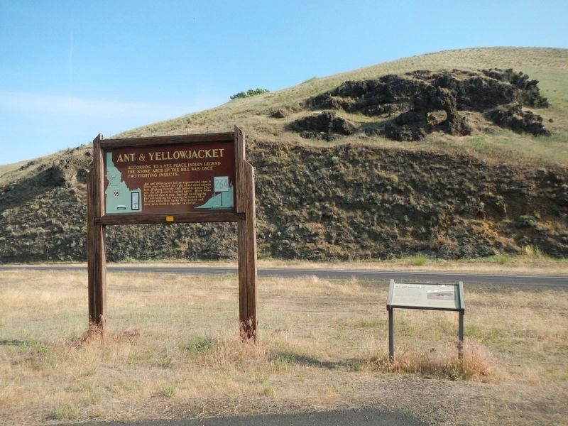
More about this marker. This marker is located at a turnout just east of the U.S. Highway 12/U.S. Highway 95 interchange.
Photographed by Barry Swackhamer, May 6, 2018
2. Ant & Yellowjacket and Marker
Photographed by Barry Swackhamer, May 6, 2018
3. Ant & Yellowjacket
Credits. This page was last revised on April 25, 2026. It was originally submitted on August 9, 2018, by Barry Swackhamer of Brentwood, California. This page has been viewed 834 times since then and 103 times this year. Photos: 1, 2, 3. submitted on August 9, 2018, by Barry Swackhamer of Brentwood, California.
