Tujunga in Los Angeles in Los Angeles County, California — The American West (Pacific Coastal)
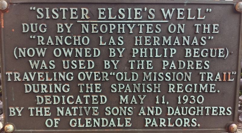
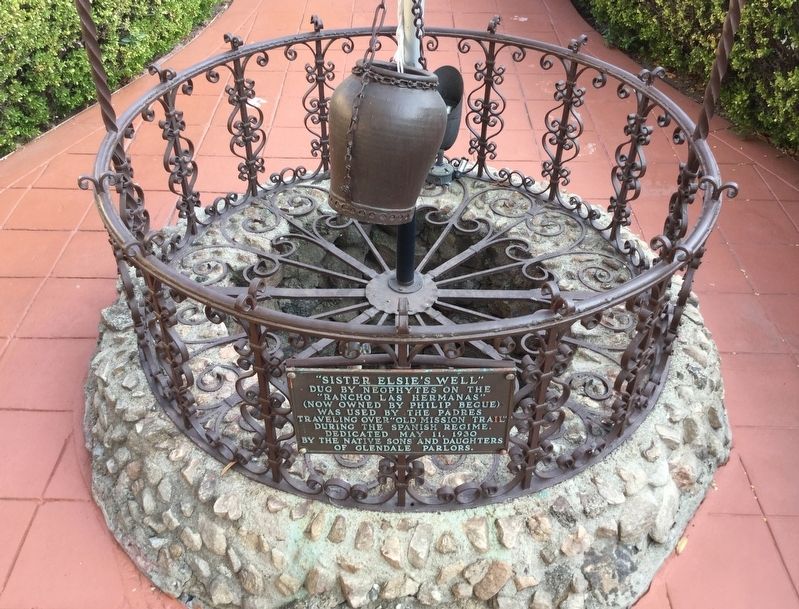
Sister Elsie’s Well
Photographed by Craig Baker, August 4, 2018
1. Sister Elsie’s Well Marker
Erected 1930 by Native Sons and Daughters - Glendale Parlors.
Topics and series. This historical marker is listed in these topic lists: Hispanic Americans • Indigenous Peoples and Communities. In addition, it is included in the Native Sons/Daughters of the Golden West series list.
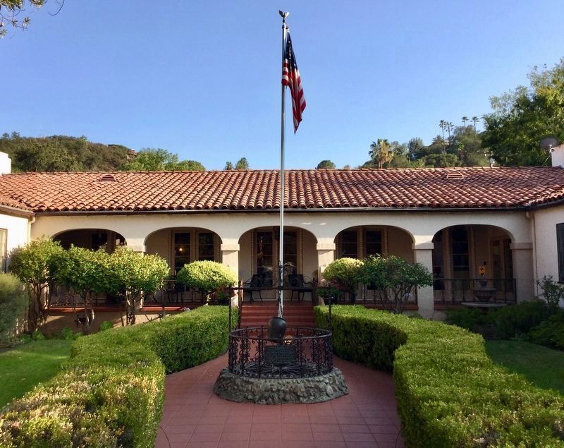
Location. 34° 14.725′ N, 118° 16.741′ W. Marker is in Los Angeles, California, in Los Angeles County. It is in Tujunga. It can be reached from Saint Estaban Street east of Haines Canyon Road, on the right when traveling east. Located in the front courtyard of Foothill Retirement home. Touch for map. Marker is at or near this postal address: 6720 Saint Estaban St, Tujunga CA 91042, United States of America. Touch for directions.

Regionally, this marker is in California’s The Valley (the San Fernando Valley) and in the Transverse Ranges. It is also on the American Pacific Coast. Globally, it is in North America, on
this page online
Other nearby markers. At least 8 other markers are within 2 miles of this marker, measured as the crow flies: Bolton Hall (approx. ¾ mile away); Tuna Canyon Detention Station (approx. 0.9 miles away); McGroarty Home and Grounds (approx. 1.1 miles away); McGroarty Home (approx. 1.1 miles away); Verdugo Hills Cemetery (approx. 1.2 miles away); Anderson W. Clark (approx. 1½ miles away); The McFall Oak (approx. 1.7 miles away); Verdugo Hills High School (approx. 1.7 miles away). Touch for a list and map of all markers in Los Angeles.
Regarding Sister Elsie’s Well. In the early 1800’s a Catholic nun named Sister Elsie worked with the displaced local Indians of Los Angeles. She started a school and orphanage, and the Indians dug a well for her. In 1882 the land was settled by the Basque Begue family. They promoted the Sister Elsie legend, and in 1930 a historical plaque was placed at the well. In 1932 a health resort, the Hotel
Photographed by Craig Baker, August 4, 2018
2. Sister Elsie’s Well and Marker
Photographed by Craig Baker, August 4, 2018
3. Sister Elsie’s Well and Marker
Credits. This page was last revised on February 7, 2023. It was originally submitted on August 10, 2018, by Craig Baker of Sylmar, California. This page has been viewed 1,718 times since then and 107 times this year. Photos: 1, 2, 3. submitted on August 10, 2018, by Craig Baker of Sylmar, California. • Syd Whittle was the editor who published this page.
