Harrisonburg in Catahoula Parish, Louisiana — The American South (West South Central)
Alexander Mound
Ancient Mounds Trail
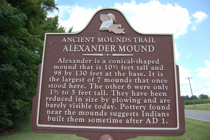
Photographed by Cajun Scrambler, July 14, 2018
1. Alexander Mound Marker
Alexander is a conical-shaped mound that is 10½ feet tall and 98 by 130 feet at the base. It is the largest of 7 mounds that once stood here. The other 6 were only 1½ to 5 feet tall. They have been reduced in size by plowing and are barely visible today. Pottery found near the mounds suggests Indians built them sometime after AD 1.
This archaeological site is on private property. Please view the site from the highway right-of-way.
Topics and series. This historical marker is listed in these topic lists: Anthropology & Archaeology • Indigenous Peoples and Communities. In addition, it is included in the Louisiana Ancient Mounds Trail series list. A significant historical year for this entry is 1 CE.
Location. 31° 49.389′ N, 91° 48.931′ W. Marker is in Harrisonburg, Louisiana, in Catahoula Parish. It is on Louisiana Route 124 half a mile north of Jugbend Road, on the right when traveling south. Touch for map. Marker is in this post office area: Harrisonburg LA 71340, United States of America. Touch for directions.

Regionally, this marker is in Central Louisiana. It is also in the American South
this page online
Other nearby markers. At least 8 other markers are within 9 miles of this marker, measured as the crow flies: Boothe Landing Mound (approx. 3.3 miles away); Fort Beauregard Veterans Memorial (approx. 3.4 miles away); Catahoula Parish Veterans Memorial (approx. 3.6 miles away); Fort Beauregard (approx. 3.6 miles away); Harrisonburg Mounds (approx. 3.8 miles away); McGuffee Mounds (approx. 5 miles away); Tew Lake Mounds (approx. 7.9 miles away); Routon Mounds (approx. 8.3 miles away). Touch for a list and map of all markers in Harrisonburg.
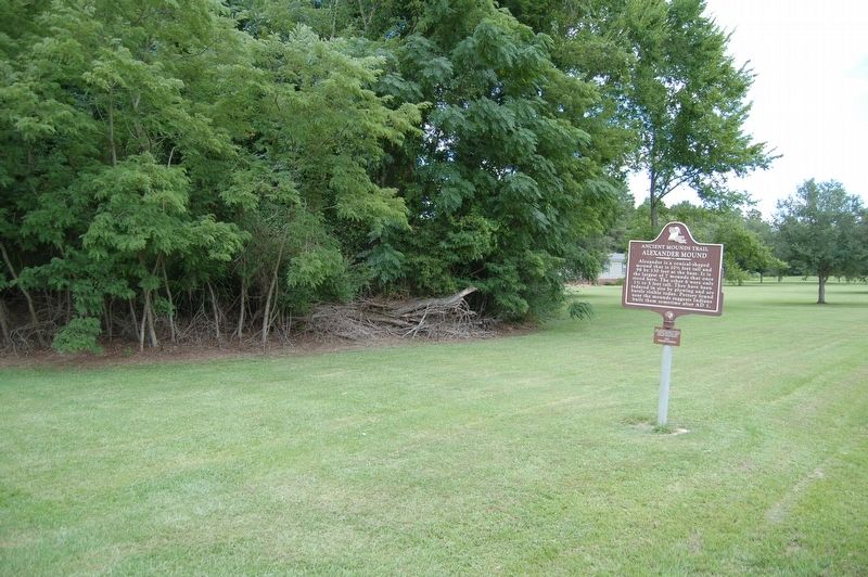
Photographed by Cajun Scrambler, July 14, 2018
2. Alexander Mound Marker
Credits. This page was last revised on September 26, 2024. It was originally submitted on July 28, 2018, by Cajun Scrambler of Assumption, Louisiana. This page has been viewed 961 times since then and 87 times this year. Last updated on August 12, 2018, by T. Patton of Jefferson, Georgia. Photos: 1, 2. submitted on July 28, 2018, by Cajun Scrambler of Assumption, Louisiana. • Bernard Fisher was the editor who published this page.
