
Near Fort Oglethorpe in Catoosa County, Georgia — The American South (South Atlantic)
Wood's Brigade
Cleburne's Division
| — | Hill's Corps | — |
Photographed by Dale K. Benington, July 29, 2018
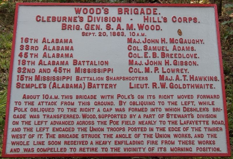
1. Wood's Brigade Marker
Cleburne's Division - Hill's Corps.
Brigadier General S. A. M. Wood.
September 20, 1863, 10 a.m.
16th Alabama - Major John H. McGaughy.
33d Alabama - Colonel Samuel Adams.
45th Alabama - Colonel E. B. Breedlove.
18th Alabama Battalion - Major John H. Gibson.
32D and 45th Mississippi - Colonel M. P. Lowrey.
15th Mississippi Battalion Sharpshooters - Major A.T. Hawkins.
Semple’s (Alabama) Battery - Lieutenant R. W. Goldthwaite.
About 10 a.m. this brigade with Polk's on its right moved forward to the attack from this ground. By obliquing to the left, while Polk obliqued to the right a gap was formed into which Deshler's Brigade was transferred. Wood, supported by a part of Stewart's Division on the left advanced across the Poe Field nearly to the Lafayette Road, and the left engaged the Union troops posted in the edge of the timber west of it. The Brigade struck the angle of the Union works, and the whole line soon received a heavy enfilading fire from these works and was compelled to retire to the vicinity of its morning position.
Erected 1890 by the Chickamauga and Chattanooga National
this page online
Topics. This historical marker is listed in these topic lists: Parks & Recreational Areas • War, US Civil. A significant historical date for this entry is September 20, 1863.
Location. 34° 55.32′ N, 85° 15.461′ W. Marker is near Fort Oglethorpe, Georgia, in Catoosa County. It can be reached from Brotherton Road east of LaFayette Road, on the left when traveling east. This marker is located in the national park that preserves the site of the Chickamauga Battlefield, a moderate walking distance north of one of the park's secondary east to west roadways, along a marked park walking trail. Touch for map. Marker is in this post office area: Fort Oglethorpe GA 30742, United States of America. Touch for directions.

Regionally, this marker is in Georgia’s Mountains. It is also in the American South and specifically in the Deep South. Globally, it is in North America, the Western Hemisphere, the Western World, and the Anglosphere. Historically, it finds itself in what was once the original Cherokee Nation, the territory of the Mississippian Culture, one of the original Thirteen Colonies,
Photographed by Dale K. Benington, July 29, 2018
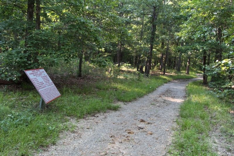
2. Wood's Brigade Marker
View of the tablet looking north along along the park walking trail.
Other nearby markers. At least 8 other markers are within walking distance of this marker: Bate's Brigade (about 300 feet away, measured in a direct line); a different marker also named Bates Brigade (about 300 feet away); Stewart's Division (about 400 feet away); Brown's Brigade (about 700 feet away); a different marker also named Brown's Brigade (about 700 feet away); Dawson's Georgia Battery (about 700 feet away); a different marker also named Dawson's Georgia Battery (about 700 feet away); Clayton's Brigade (about 800 feet away). Touch for a list and map of all markers in Fort Oglethorpe.
More about this marker. In locating this tablet I used the "Chickamauga Battlefield" map, that I purchased at the Chickamauga and Chattanooga National Military Park, Visitor Center, to determine both the marker number for this tablet and the tablet's location in relation to the rest of the park's monuments, markers, and tablets. According to the map it provides the, "numerical listing of all monuments, markers, and tablets on the Chickamauga Battlefield (using the Chick-Chatt
Photographed by Dale K. Benington, July 29, 2018
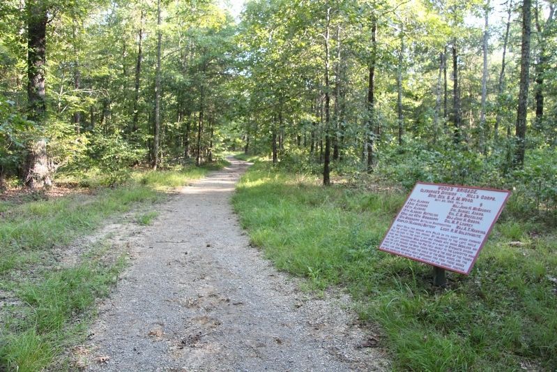
3. Wood's Brigade Marker
View of the tablet looking south along along the park walking trail.
Photographed by Dale K. Benington, July 29, 2018
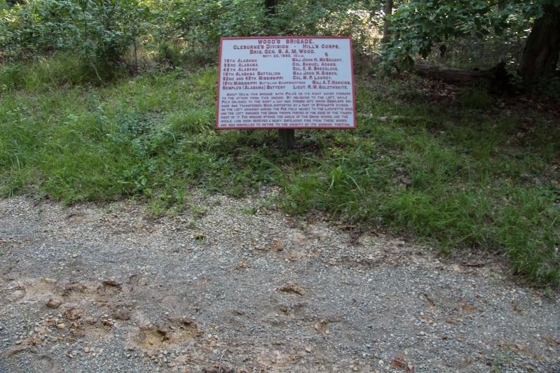
4. Wood's Brigade Marker
View, looking west, of the tablet situated just off the park walking trail.
Credits. This page was last revised on August 13, 2018. It was originally submitted on August 13, 2018, by Dale K. Benington of Toledo, Ohio. This page has been viewed 347 times since then and 16 times this year. Photos: 1, 2, 3, 4. submitted on August 13, 2018, by Dale K. Benington of Toledo, Ohio.
