Near Indian Springs in Catoosa County, Georgia — The American South (South Atlantic)
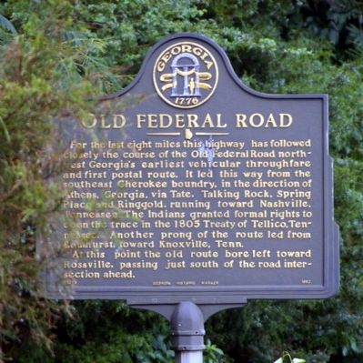
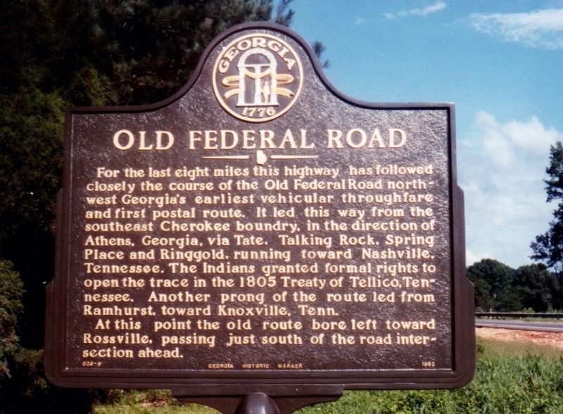
Old Federal Road
At this point the old route bore left, toward Rossville, passing just south of the road intersection ahead.
Erected 1992 by Georgia Department of Natural Resources. (Marker Number 023-6.)
Topics and series. This historical marker is listed in these topic lists: Native Americans • Roads & Vehicles • Settlements & Settlers. In addition, it is included in the Georgia Historical Society series list. A significant historical year for this entry is 1805.
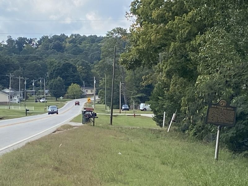
Location. 34° 57.9′ N, 85° 10.652′ W. Marker is near Indian Springs, Georgia, in Catoosa County. Marker is on Old Dixie Highway (U.S. 41) 0.2 miles north of Haggard Road, on the right when traveling north. Touch for map. Marker is in this post office area: Ringgold GA 30736, United States of America. Touch for directions.
Other nearby markers. At least 8 other markers are within 4 miles of this marker, measured as the crow flies. 84th Indiana Infantry (approx. 2.2 miles away); a different marker also named 84th Indiana Infantry (approx. 2.3 miles away); Civil War in Tennessee (approx. 2.7 miles away in Tennessee); First Skirmish at Chickamauga (approx. 2.7 miles away); Reed's Bridge (approx. 3.3 miles away); 2nd Illinois Light Artillery (approx. 3.4 miles away); 86th Illinois Infantry (approx. 3.4 miles away); 125th Illinois Infantry (approx. 3.4 miles away).
Credits. This page was last revised on September 26, 2022. It was originally submitted on October 6, 2008, by David Seibert of Sandy Springs, Georgia. This page has been viewed 1,307 times since then and 15 times this year. Photos: 1. submitted on October 6, 2008, by David Seibert of Sandy Springs, Georgia. 2. submitted on October 7, 2020, by Tim Fillmon of Webster, Florida. 3. submitted on September 25, 2022, by Darren Jefferson Clay of Duluth, Georgia. • Bill Pfingsten was the editor who published this page.


