Near West Union in Adams County, Ohio — The American Midwest (Great Lakes)
Zane Trace
Treber Inn
— Asahel Eddington —
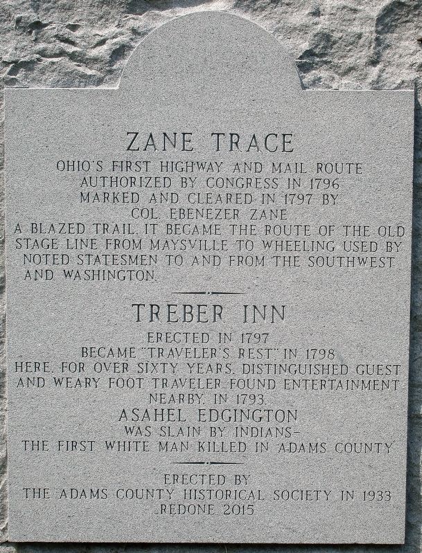
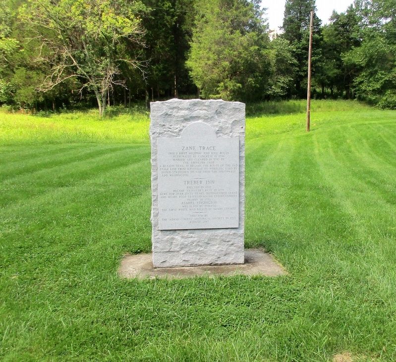
Ohio’s first highway and mail route authorized by Congress 1796 marked and cleared in 1797 by Col. Ebenezer Zane a blazed trail, it became the route of the old stage line from Maysville to Wheeling used by noted statesmen to and from the southwest and Washington
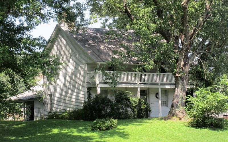
Treber Inn erected in 1797 became Travelers rest in 1798 here, for over sixty years, distinguished guest and weary foot traveler found entertainment nearby, in 1793
Asahel Eddington was slain by Indians-the first white man killed in Adams County
Erected 1933 by Adams County Historical Society.
Topics. This historical marker is listed in these topic lists: Communications • Native Americans • Roads & Vehicles • Settlements & Settlers. A significant historical year for this entry is 1796.
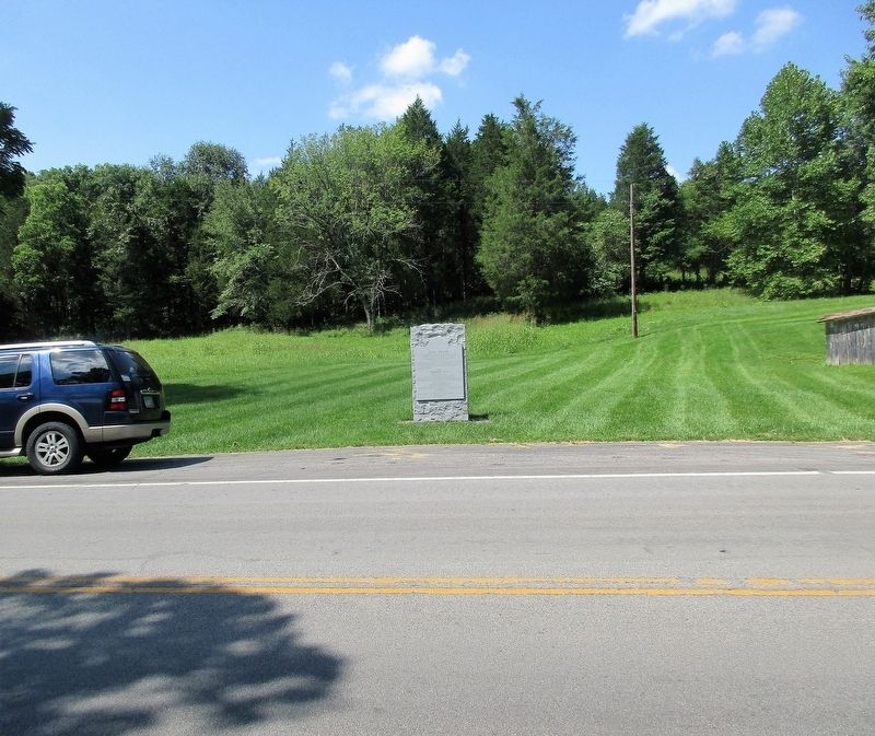
Location. 38° 50.936′ N, 83° 29.254′ W. Marker is near West Union, Ohio, in Adams County. Marker is on Zane Trace (Ohio Route 41), on the right when traveling south. Marker is about ¼ west of Rd 88 Freeland Hollow Rd. Touch for map. Marker is at or near this postal address: 17745 St Rt 41, West Union OH 45693, United States of America. Touch for directions.
Other nearby markers. At least 8 other markers are within 5 miles of this marker, measured as the crow flies. Hon. John T. Wilson's Tribute To The Soldiers (approx. 4.6 miles away); First West Union Post Office (approx. 4.8 miles away); West Union Associate Reformed Presbyterian Church / Reverend John Graham (approx. 4.8 miles away); Adams County Heritage Center (approx. 4.8 miles away); Bell (approx. 4.9 miles away); Adams County War Memorial (approx. 4.9 miles away); Cowboy Copas / The Oklahoma Cowboy (approx. 4.9 miles away); First Presbyterian Church (approx. 4.9 miles away). Touch for a list and map of all markers in West Union.
Additional commentary.
1.
this marker is similar to nearby "Buckeye Station" https://www.hmdb.org/Marker.asp?Marker=45344
— Submitted August 15, 2018, by Rev. Ronald Irick of West Liberty, Ohio.
Credits. This page was last revised on January 26, 2023. It was originally submitted on August 15, 2018, by Rev. Ronald Irick of West Liberty, Ohio. This page has been viewed 604 times since then and 66 times this year. Photos: 1, 2, 3, 4. submitted on August 15, 2018, by Rev. Ronald Irick of West Liberty, Ohio. • Bill Pfingsten was the editor who published this page.


