Stillwater Lake
Safe lives. Strong dams.
Why Build a Dam?
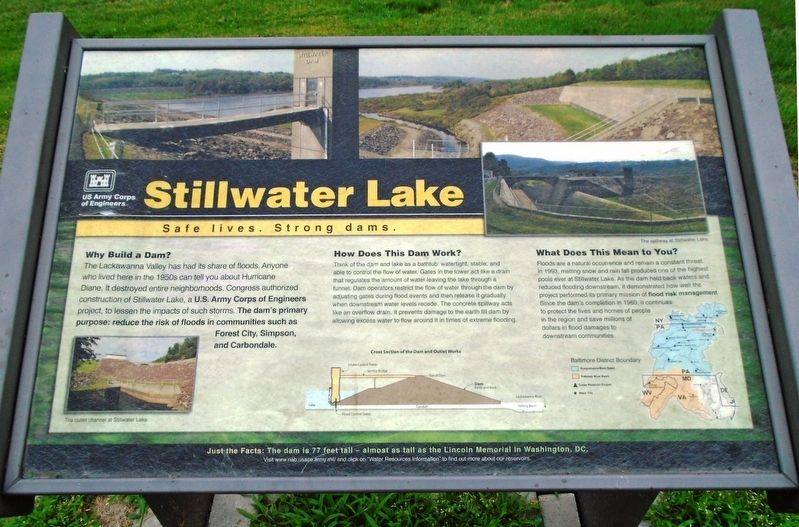
The Lackawanna Valley has had its share of floods. Anyone who lived here in the 1950s can tell you about Hurricane Diane. It destroyed entire neighborhoods. Congress authorized construction of Stillwater Lake, a U.S. Army Corps of Engineers project, to lessen the impacts of such storms. The dam's primary purpose: reduce the risk of floods in communities such as Forest City, Simpson, and Carbondale.
How Does This Dam Work?
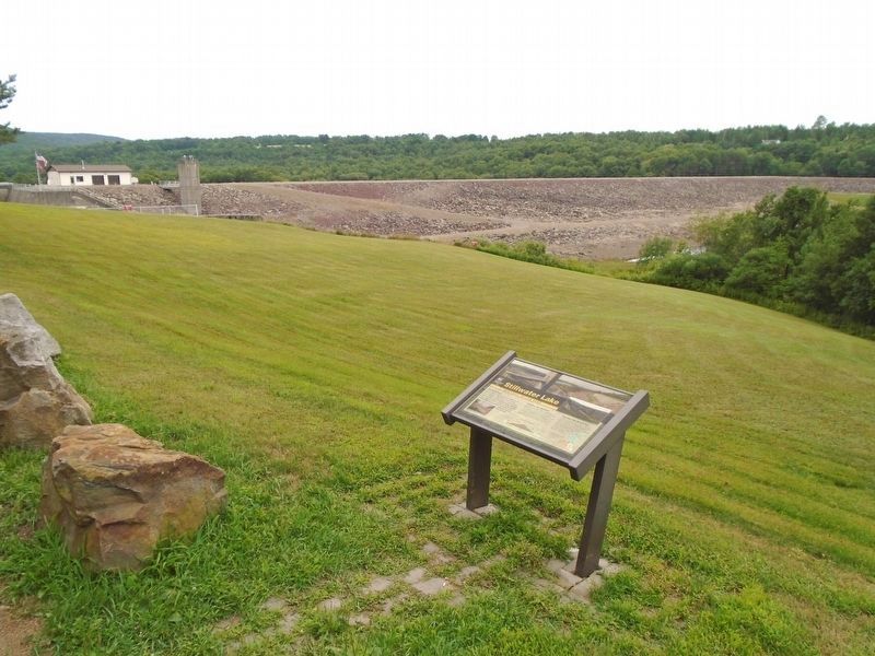
Think of a dam and lake as a bathtub: watertight, stable, and able to control the flow of water. Gates in the tower act like a drain that regulates the amount of water leaving the lake through a tunnel. Dam operators restrict the flow of water through the dam by adjusting gates during flood events and then release it gradually when downstream water levels recede. The concrete spillway acts like an overflow drain. It prevents damage to the earth fill dam by allowing excess water to flow around it in times of extreme flooding.
What Does This Mean to You?
Floods are a natural occurrence and remain a constant threat. In 1993, melting snow and rain fall produced one of the highest pools ever at Stillwater Lake. As the dam held back waters and reduced flooding downstream, it demonstrated how well the project performed its primary mission of flood risk
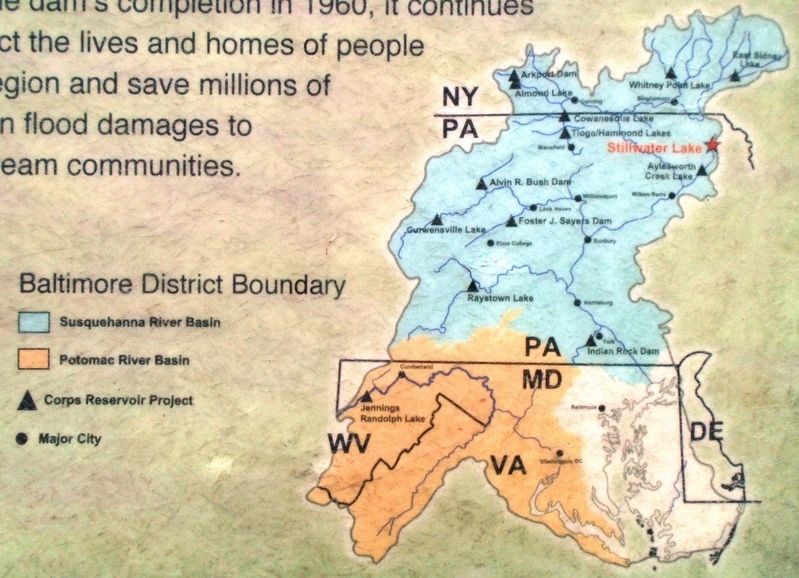
management. Since the dam's completion in 1960, it continues to protect the lives and homes of people in the region and save millions of dollars in flood damages to downstream communities.
Just the Facts: The dam is 77 feet tall - almost as tall as the Lincoln Memorial in Washington, DC.
Erected by US Army Corps of Engineers.
Topics. This historical marker is listed in these topic lists: Disasters • Man-Made Features • Waterways & Vessels. A significant historical year for this entry is 1993.
Location. 41° 41.918′ N, 75° 28.953′ W. Marker is near Union Dale, Pennsylvania, in Susquehanna County. Marker is on Pennsylvania Route 171, 1.2 miles south of Skyline Drive/Church Road, on the right when traveling south. Marker is at the dam's overlook parking area. Touch for map. Marker is in this post office area: Union Dale PA 18470, United States of America. Touch for directions.
Other nearby markers. At least 8 other markers are within 4 miles of this marker, measured as the crow flies. Forest City (approx. 2.6 miles away); Samuel Meredith (approx. 3.2 miles away); Jirah Mumford (approx. 3.2 miles away); Samuel "Roxy" Rothafel (approx. 3.4 miles away); Sarah Mary Benjamin (approx. 3.6 miles away); War Memorial (approx. 3.7 miles away); Pennsylvania Anthracite Coal Miners Memorial

Click for more information.
Credits. This page was last revised on January 27, 2022. It was originally submitted on August 21, 2018, by William Fischer, Jr. of Scranton, Pennsylvania. This page has been viewed 401 times since then and 35 times this year. Photos: 1. submitted on August 21, 2018, by William Fischer, Jr. of Scranton, Pennsylvania. 2. submitted on January 25, 2022, by Larry Gertner of New York, New York. 3, 4. submitted on August 21, 2018, by William Fischer, Jr. of Scranton, Pennsylvania.


