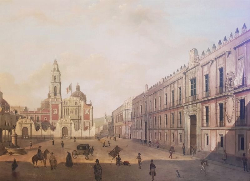
Centro Histórico in Ciudad de México, Mexico — The Valley of Mexico (The Central Highlands)
The Beginning of the Camino Real de Tierra Adentro
Inscription.
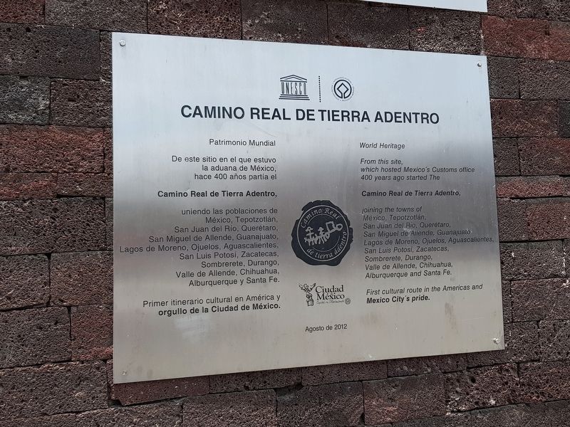
Patrimonio Mundial
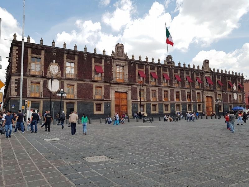
De este sitio en el que estuvo la aduana de México, hace 400 años partía el Camino Real de Tierra Adentro, uniendo las poblaciones de México, Tepotzotlán, San Juan del Río, Querétaro, San Miguel de Allende, Guanajuato, Lagos de Moreno, Ojuelos, Aguascalientes, San Luis Potosí, Zacatecas, Sombrerete, Durango, Valle de Allende, Chihuahua, Alburquerque y Santa Fe.
Primer itinerario cultural en América y orgullo de la Ciudad de México.
Agosto de 2012
Camino Real de Tierra Adentro
The Royal Inland Road
World Heritage
On this site that was once the Customs House of Mexico, 400 years ago the Camino Real de Tierra Adentro started, joining the populations of Mexico City, Tepotzotlán, San Juan del Río, Querétaro, San Miguel de Allende, Guanajuato, Lagos de Moreno, Ojuelos, Aguascalientes, San Luis Potosí, Zacatecas, Sombrerete, Durango, Valle de Allende, Chihuahua, Albuquerque and Santa Fe.
First cultural itinerary in the Americas and the pride of Mexico City.
August 2012
Erected 2012 by Ciudad de México, UNESCO.
Topics and series. This historical marker is listed in these topic lists: Colonial Era • Industry & Commerce • Man-Made Features • Roads & Vehicles. In addition, it is included in the El Camino Real de Tierra Adentro series list. A significant historical month for this entry is August 2012.
Location. 19° 26.295′ N, 99° 8.031′ W. Marker is in Ciudad de México. It is in Centro Histórico. Marker is on República de Brasil just north of Calle República de Venezuela, on the left when traveling north. Touch for map. Marker is at or near this postal address: República de Brasil 44, Ciudad de México 06000, Mexico. Touch for directions.
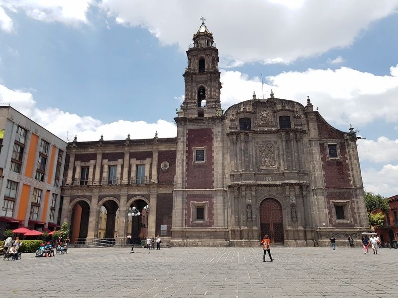
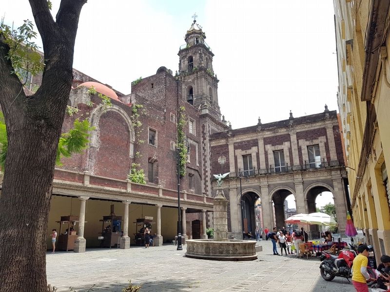
Other nearby markers. At least 8 other markers are within walking distance of this marker. A Memorial Site to Slavery and African Populations and Descendants (here, next to this marker); Temple of Santo Domingo (a few steps from this marker); Servando Teresa de Mier (within shouting distance of this marker); Chapel of the Expiration (within shouting distance of this marker); Leona Vicario de Quintana Roo (within shouting distance of this marker); Plaza and Portal of Santo Domingo (within shouting distance of this marker); Salón Madrid (within shouting distance of this marker); Ex-Palace of the Inquisition (within shouting distance of this marker). Touch for a list and map of all markers in Ciudad de México.
Credits. This page was last revised on April 17, 2020. It was originally submitted on August 21, 2018, by J. Makali Bruton of Accra, Ghana. This page has been viewed 216 times since then and 16 times this year. Photos: 1, 2, 3, 4. submitted on August 21, 2018, by J. Makali Bruton of Accra, Ghana. 5. submitted on August 28, 2019, by J. Makali Bruton of Accra, Ghana.
