Wagarville in Washington County, Alabama — The American South (East South Central)
Bassetts Creek
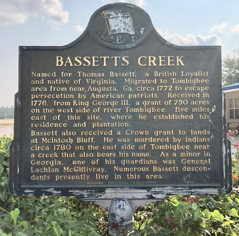
Bassett also received a Crown grant to lands at McIntosh Bluff. He was murdered by Indians circa 1780 on the east side of Tombigbee near a creek that also bears his name. As a minor in Georgia, one of his guardians was General Lachlan McGillivray. Numerous Bassett descendants presently live in this area.
Erected 1976 by Alabama Historical Association.
Topics and series. This historical marker is listed in these topic lists: Native Americans • Settlements & Settlers • Waterways & Vessels. In addition, it is included in the Alabama Historical Association series list. A significant historical year for this entry is 1772.
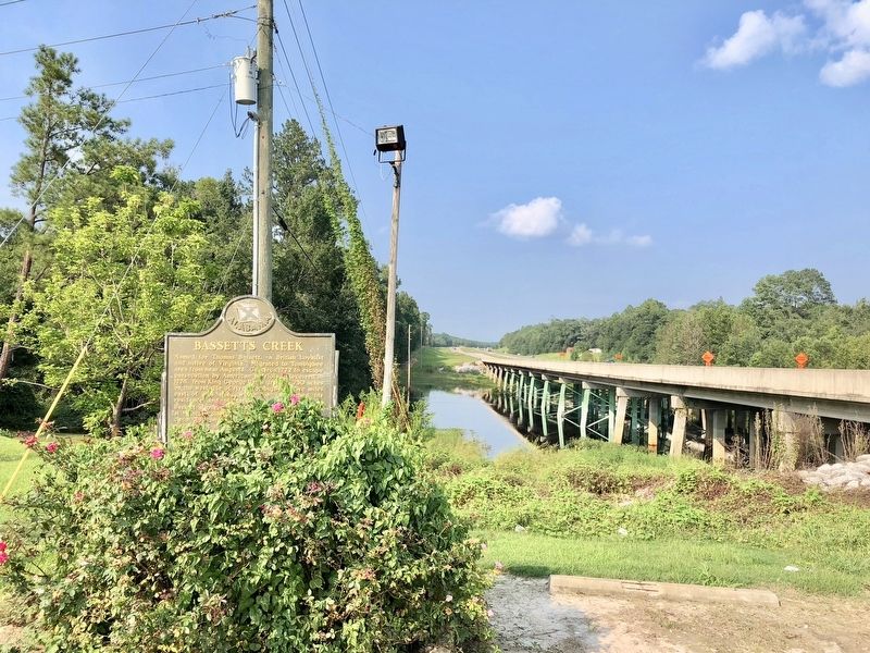
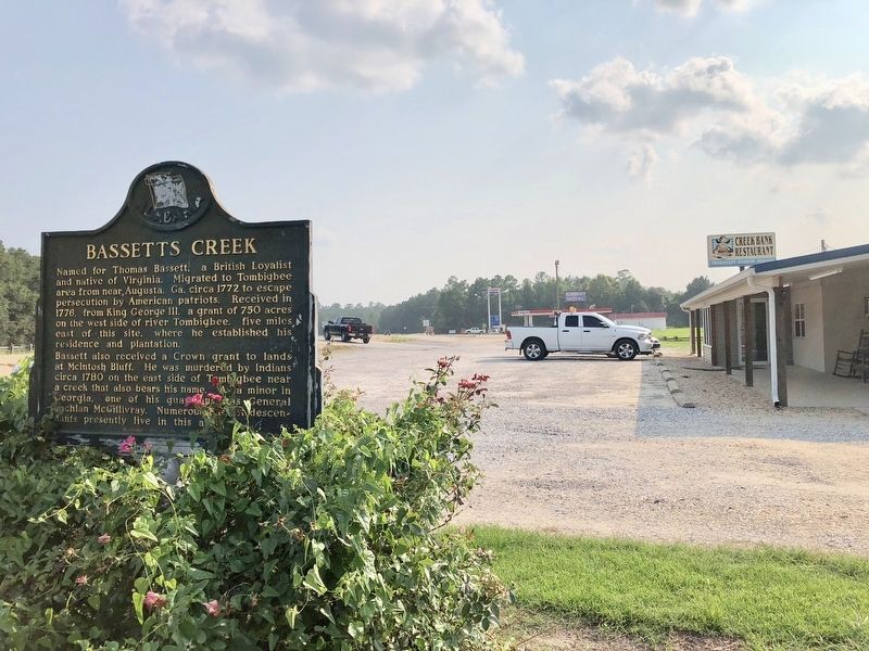
Location. 31° 27.876′ N, 88° 1.908′ W. Marker is in Wagarville, Alabama, in Washington County. Marker is on Jefferson Davis Highway (U.S. 43) 0.4 miles south of Sullivan Lane, on the right when traveling south. Located at the Creek Bank Restaurant, adjacent to the Tombigbee River. Touch for map. Marker is at or near this postal address: 21711 US-43, Wagarville AL 36585, United States of America. Touch for directions.
Other nearby markers. At least 8 other markers are within 9 miles of this marker, measured as the crow flies. The Sullivan Cabin (approx. 1.6 miles away); Prestwick Post Office / Prestwick High School (approx. 3˝ miles away); The Taylor House (approx. 5.3 miles away); Old St. Stephens Masonic Lodge No. 9 (1821-1834)/St. Stephens Lodge No. 81 (approx. 5.4 miles away); The Clarke County War Memorial (approx. 8˝ miles away); CSA Brooke Cannon S-96 (approx. 8.6 miles away); Jackson (approx. 8.6 miles away); City of Jackson (approx. 8.6 miles away).
Also see . . . Thomas Bassett, V - Bassett Family Association. (Submitted on August 24, 2018, by Mark Hilton of Montgomery, Alabama.)
Credits. This page was last revised on March 27, 2024. It was originally submitted on August 24, 2018, by Mark Hilton of Montgomery, Alabama. This page has been viewed 334 times since then and 30 times this year. Photos: 1, 2, 3. submitted on August 24, 2018, by Mark Hilton of Montgomery, Alabama.


