Leakesville in Greene County, Mississippi — The American South (East South Central)
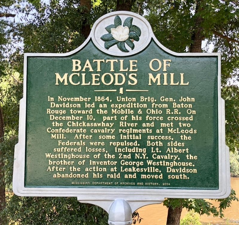
Battle of McLeod's Mill
Photographed by Mark Hilton, August 23, 2018
1. Battle of McLeod's Mill Marker
Erected 2014 by Mississippi Department of Archives and History.
Topics and series. This historical marker is listed in these topic lists: War, US Civil • Waterways & Vessels. In addition, it is included in the Mississippi State Historical Marker Program series list. A significant historical month for this entry is November 1864.
Location. 31° 8.902′ N, 88° 32.917′ W. Marker is in Leakesville, Mississippi, in Greene County. It can be reached from River Street 0.1 miles east of McLeod Avenue, on the right. Located at the River Street boat ramp. Touch for map. Marker is at or near this postal address: 110 River
this page online

Regionally, this marker is in East Mississippi and in the Pine Belt. It is also in the American South, specifically in the Deep South, and in the Piney Woods. Globally, it is in North America, a Gulf of Mexico state, the Western Hemisphere, the Western World, and the Anglosphere. Historically, it finds itself in what was once New Spain, the territory of the Mississippian Culture, one of the Confederate States of America, and the Antebellum South.
Other nearby markers. At least 5 other markers are within 16 miles of this marker, measured as the crow flies: Confederate Veterans of Greene County (approx. 0.4 miles away); Byron Patton "Pat" Harrison (approx. 0.4 miles away); Clark Cemetery (approx. 9.6 miles away); Fruitdale Union Chapel (approx. 15.8 miles away in Alabama); Fruitdale Brethren Church (approx. 16 miles away in Alabama).
Also see . . . History Sites forum on the Battle of McLeod's Mill. (Submitted on August 24, 2018, by Mark Hilton of Montgomery, Alabama.)
Photographed by Mark Hilton, August 23, 2018
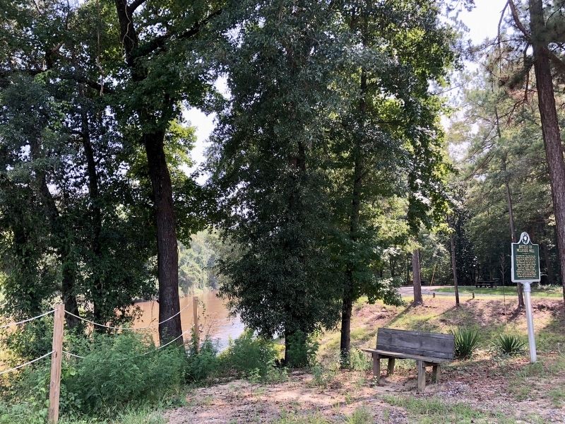
2. Marker with the Chickasawhay River in background.
Photographed by Mark Hilton, August 23, 2018
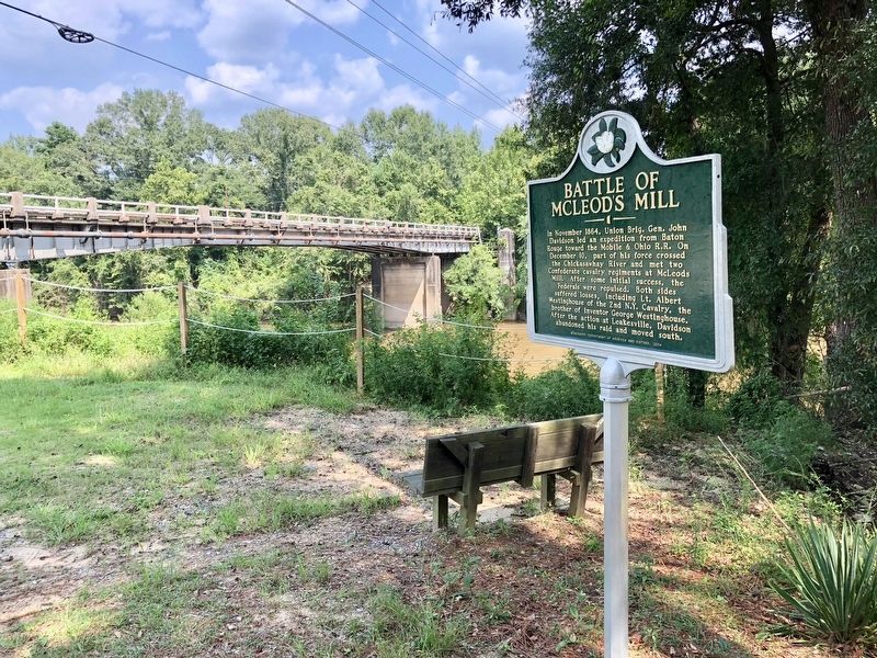
3. Marker with the Chickasawhay River and old River Street bridge in background.
Public domain
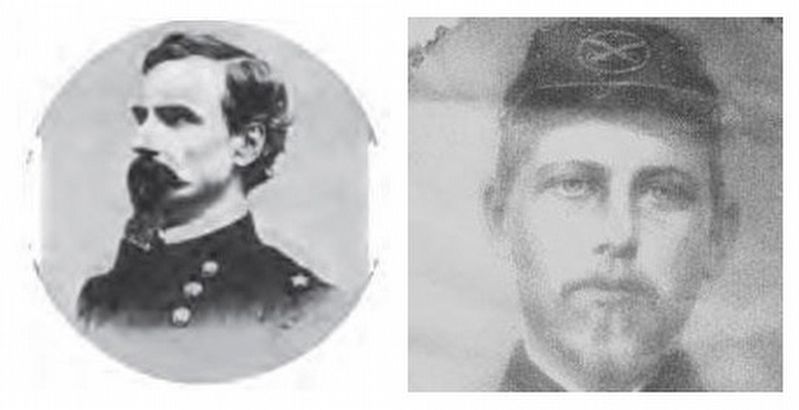
4. General John Davidson / Lt. Albert Westinghouse
Credits. This page was last revised on August 24, 2018. It was originally submitted on August 24, 2018, by Mark Hilton of Montgomery, Alabama. This page has been viewed 2,302 times since then and 146 times this year. Photos: 1, 2, 3, 4. submitted on August 24, 2018, by Mark Hilton of Montgomery, Alabama.
