Near Karthaus in Clearfield County, Pennsylvania — The American Northeast (Mid-Atlantic)
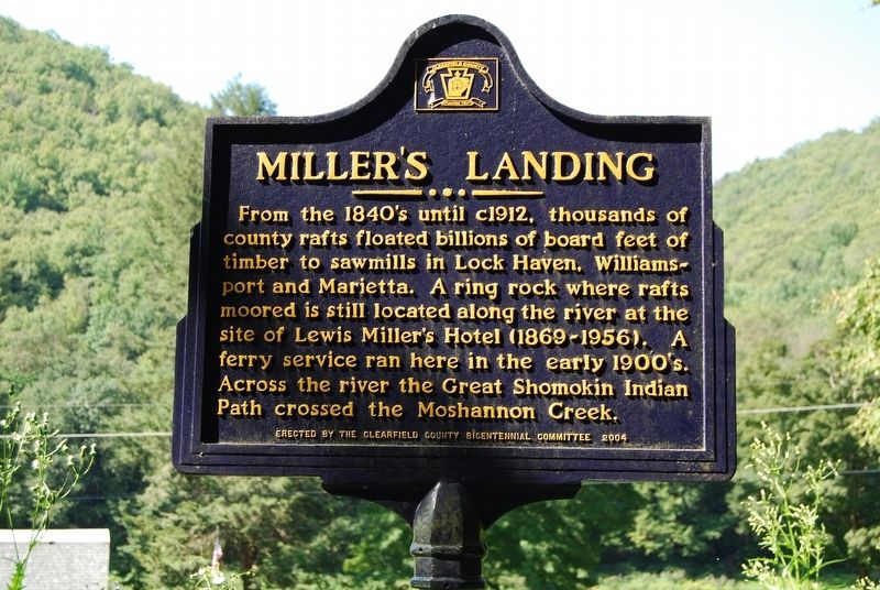
Miller's Landing
Erected 2004 by The Clearfield County Bicentennial Committee.
Topics. This historical marker is listed in these topic lists: Industry & Commerce • Native Americans • Waterways & Vessels.
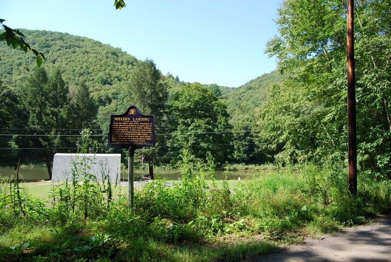
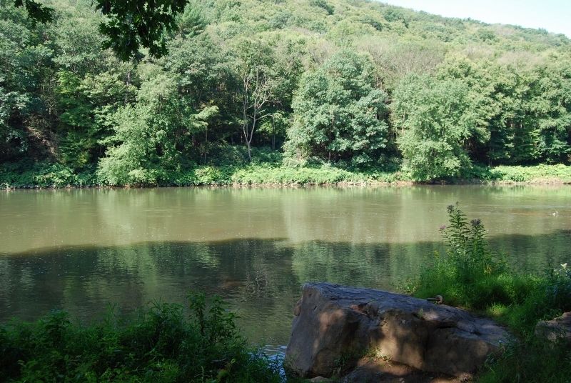
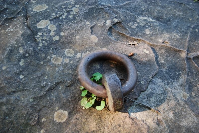
Location. 41° 4.482′ N, 78° 5.88′ W. Marker is near Karthaus, Pennsylvania, in Clearfield County. Marker is on Tunnel Road, 3.4 miles south of Market Street (Pennsylvania Route 879), on the right when traveling south. Marker is a long distance down Tunnel Road, please respect the privacy of the residents and obey the parking signs. Ring Rock is a further walk south down to the river. Touch for map. Marker is in this post office area: Karthaus PA 16845, United States of America. Touch for directions.
Other nearby markers. At least 8 other markers are within 12 miles of this marker, measured as the crow flies. St. Severin Old Log Church (approx. 3 miles away); Karthaus Furnace (approx. 3.3 miles away); Frenchville (approx. 6.7 miles away); Ames Field (approx. 6.8 miles away); Discover Elk Scenic Drive (approx. 8˝ miles away); Keystone Shortway (approx. 8˝ miles away); Antes (approx. 11.2 miles away); Plumbe Forge (approx. 11˝ miles away).
Credits. This page was last revised on August 26, 2018. It was originally submitted on August 26, 2018, by Mike Wintermantel of Pittsburgh, Pennsylvania. This page has been viewed 717 times since then and 134 times this year. Photos: 1, 2, 3, 4. submitted on August 26, 2018, by Mike Wintermantel of Pittsburgh, Pennsylvania.


