Chattanooga in Hamilton County, Tennessee — The American South (East South Central)
Point in the Line of Fort Sherman

Photographed by Dale K. Benington
1. Point in the Line of Fort Sherman Marker
Topics. This historical marker is listed in this topic list: War, US Civil.
Location. Marker is missing. It was located near 35° 3.201′ N, 85° 18.207′ W. Marker was in Chattanooga, Tennessee, in Hamilton County. It was on Battery Place west of Mabel Street, on the left when traveling west. The former site of this tablet is near the present day end of Battery Place, on the south side of the street. Touch for map. Marker was at or near this postal address: 508½ Battery Place, Chattanooga TN 37403, United States of America. Touch for directions.

Regionally, this marker was in the American South, specifically in the Upper South, in Appalachia, and specifically in Southern Appalachia. Globally, it was in North America, the Western Hemisphere, the Western World, and the Anglosphere. Historically, it found itself in what was once the original Cherokee Nation, the territory of the Mississippian Culture, one of the Confederate States of America, and the Antebellum South.
Other nearby markers. At least 8 other markers are within walking distance of this location: Harry Scott Probasco Family (about 400 feet away); Site of General Bragg's Headquarters (approx. 0.2 miles away); Headquarters of Brigadier General George D. Wagner (approx. 0.2 miles away); a different marker also named Point in the Line of Fort Sherman (approx. 0.2 miles away); Chancellor T. M. McConnell House (approx. 0.2 miles away); Swaim's Jail (approx. 0.2 miles away); Site of Battery Smartt (approx. 0.2 miles away); Hunter Museum of American Art (approx. ¼ mile away). Touch for a list and map of all markers in Chattanooga.
Other
this page online
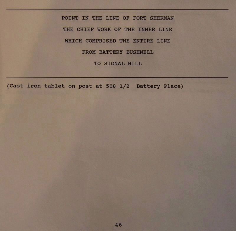
More about this marker. According to the description information provided by the National Park Service, the marker is a, “Cast tablet on a post at 508½ Battery Place." It would appear that whatever structures, that were once situated on the south side of the Battery Place roadway, had been cleared away to make way for the present day Riverfront Parkway.
Regarding Point in the Line of Fort Sherman. With much help from Suzette Raney of the Local History and Genealogy Department of the Chattanooga Public Library, I have been able to put together
Photographed by Dale K. Benington, July 13, 2018
2. Point in the Line of Fort Sherman Marker
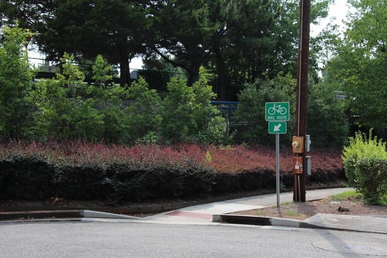
View of the property lot area where the address 508½ Battery Place would have once been located, where this tablet was once situated.
According to a newspaper article published in the Chattanooga Times on, December 1, 1893, there was a committee appointed from the chamber of commerce to identify historical points in connection with the occupancy of Chattanooga by Federal and Confederate troops. These points were to later be marked by a bronze tablet bearing a description of the event which transpired at that point. According to a Battlefield Guide, published in 1897 by the Chattanooga Chamber of Commerce, “For the 20th reunion of the Society of the Army of the Cumberland, September 18-20, 1889, the publisher of the Guide compiled the following list of historical points, which list, has since been revised and bronze tablets placed on or near the sites by the Government.” So it would appear that it was sometime between late 1893 and 1897 that these tablets were erected, by the government.
Related markers. Click here for a list of markers that are related to this marker. A list of the tablets placed throughout the city of Chattanooga,
Photographed by Dale K. Benington, July 13, 2018
3. Point in the Line of Fort Sherman Marker
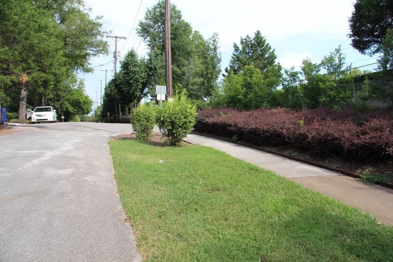
View, looking east along the Battery Place roadway, from the area where this tablet was once situated.
Photographed by Dale K. Benington, July 13, 2018
4. Point in the Line of Fort Sherman Marker
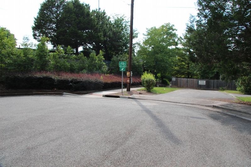
View, looking west along the Battery Place roadway, from near the area where this tablet was once situated.
Photographed by Dale K. Benington, July 12, 2017
5. Point in the Line of Fort Sherman Marker
View of page 46 from the National Park Service’s record book on the Chattanooga - Chickamauga ”MT-numbered” listings of classified structures, which is kept in the Chickamauga Battlefield Park's Visitor Center.
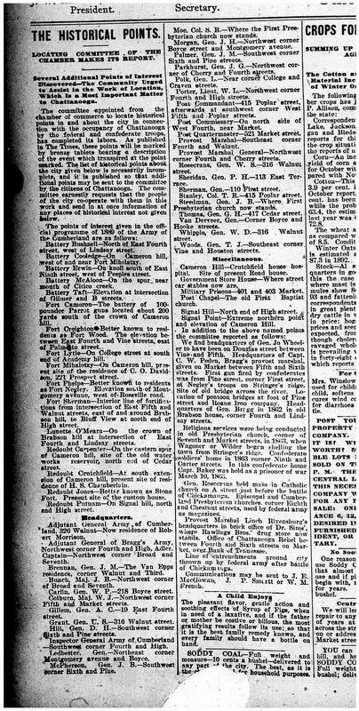
Image courtesy of the Chattanooga Public Library.
6. Tablet Related Newspaper Article
View of a tablet related newspaper article published in the Chattanooga Times on, December 1, 1893.
Credits. This page was last revised on October 12, 2021. It was originally submitted on August 27, 2018, by Dale K. Benington of Toledo, Ohio. This page has been viewed 315 times since then and 12 times this year. Photos: 1, 2, 3, 4, 5, 6. submitted on August 27, 2018, by Dale K. Benington of Toledo, Ohio.
