
Pascagoula in Jackson County, Mississippi — The American South (East South Central)
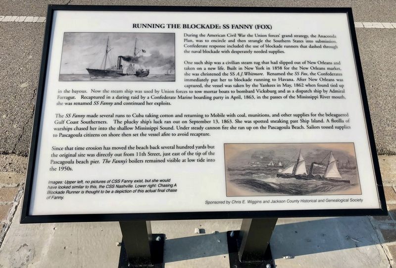
Running the Blockade: SS Fanny (Fox)
Photographed by Mark Hilton, August 22, 2018
1. Running the Blockade: SS Fanny (Fox) Marker
One such ship was a civilian steam tug that had slipped out of New Orleans and taken on a new life. Built in New York in 1858 for the New Orleans market, she was christened the SS A.J. Whitmore. Renamed the SS Fox, the Confederates immediately put her to blockade running to Havana. After New Orleans was captured, the vessel was taken by the Yankees in May, 1862 when found tied up immediately put her to blockade running to Havana. After New Orleans was captured, the vessel was taken by the Yankees in May, 1862 when found tied up in the bayous. Now the steam ship was used by Union forces to tow mortar boats to bombard Vicksburg and as a dispatch ship by Admiral Farragut. Recaptured in a daring raid by a Confederate Marine boarding party in April, 1863, in the passes of the Mississippi River mouth, she was renamed SS Fanny and continued her
this page online
The SS Fanny made several runs to Cuba taking cotton and returning to Mobile with coal, munitions, and other supplies for the beleaguered Gulf Coast Southerners. The plucky ship's luck ran out on September 13, 1863. She was spotted sneaking past Ship Island. A flotilla of warships chased her into the shallow Mississippi Sound. Under steady cannon fire she ran up on the Pascagoula Beach. Sailors tossed supplies to Pascagoula citizens on shore then set the vessel afire to avoid recapture.
Since that time erosion has moved the beach back several hundred yards but the original site was directly out from 11th Street, just east of the tip of the Pascagoula beach pier. The Fanny's boilers remained visible at low tide into the 1950s.
Images: Upper left, no pictures of CSS Fanny exist, but she would have looked similar to this, the CSS Nashville. Lower right: Chasing A Blockade Runner is thought to be a depiction of this actual final chase of Fanny.
Erected by Chris E. Wiggins and Jackson County Historical and Genealogical Society.
Topics. This historical marker is listed in these topic lists: War, US Civil
Photographed by Mark Hilton, August 22, 2018
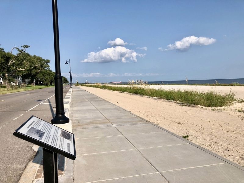
2. Running the Blockade: SS Fanny (Fox) Marker looking east along Beach Boulevard.
Location. 30° 20.616′ N, 88° 33.426′ W. Marker is in Pascagoula, Mississippi, in Jackson County. It is on Beach Boulevard east of Hague Street, on the right when traveling east. Located along the Pascagoula Promenade. Touch for map. Marker is at or near this postal address: 809 Beach Boulevard, Pascagoula MS 39567, United States of America. Touch for directions.

Regionally, this marker is in the American South, specifically in the Deep South, and on the Gulf Coast. Globally, it is in North America, a Gulf of Mexico state, the Western Hemisphere, the Western World, and the Anglosphere. Historically, it finds itself in what was once New Spain, the Viceroyalty of New France, the territory of the Mississippian Culture, one of the Confederate States of America, and the Antebellum South.
Other nearby markers. At least 8 other markers are within walking distance of this marker: Louisiana Native Guard Attacks Pascagoula (here, next to this marker); R.A. Farnsworth Summer Home (a few steps from this marker); Randall's Tavern (about 500 feet away, measured
Photographed by Mark Hilton, August 22, 2018
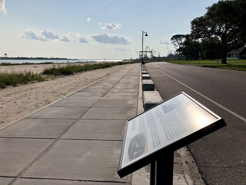
3. Looking west towards Singing River Island, Pascagoula River & Spanish Point.
Credits. This page was last revised on August 27, 2018. It was originally submitted on August 27, 2018, by Mark Hilton of Montgomery, Alabama. This page has been viewed 799 times since then and 60 times this year. Photos: 1, 2, 3. submitted on August 27, 2018, by Mark Hilton of Montgomery, Alabama.
