Gautier in Jackson County, Mississippi — The American South (East South Central)
City of Gautier
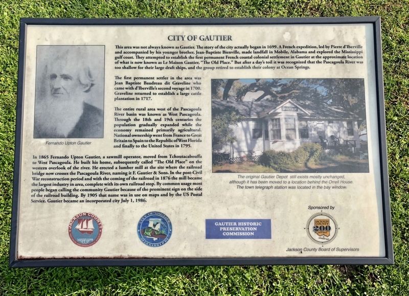
The first permanent settler in the area was Jean Baptiste Baudreau dit Graveline who came with d'Iberville's second voyage in 1700. Graveline returned to establish a large cattle plantation in 1717.
The entire rural area west of the Pascagoula River basin was known as West Pascagoula. Through the 18th and 19th centuries the population gradually expanded while the economy remained primarily agricultural. National ownership went from France to Great Britain to Spain to the Republic of West Florida and finally to the United States in 1795.
In 1865 Fernando Upton Gautier, a sawmill operator, moved from Tchoutacabouffa to West Pascagoula. He built his home, subsequently called "The Old Place" on the western overlook of the river. He erected a lumber mill at the site where the railroad bridge now crosses the Pascagoula River, naming it F. Gautier & Sons. In the post-Civil War reconstruction period and with the coming of the railroad in 1876 the mill became the largest industry in area, complete with its own railroad stop. By common usage most people began calling the community Gautier because of the prominent sign on the side of the railroad building. By 1905 that name was in use on maps and by the US Postal Service. Gautier became an incorporated city July 1, 1986.
Erected by Jackson County Board of Supervisors, Gautier Historic Preservation Commission.
Topics. This historical marker is listed in these topic lists: Animals • Colonial Era • Settlements & Settlers • Waterways & Vessels. A significant historical date for this entry is July 1, 1986.
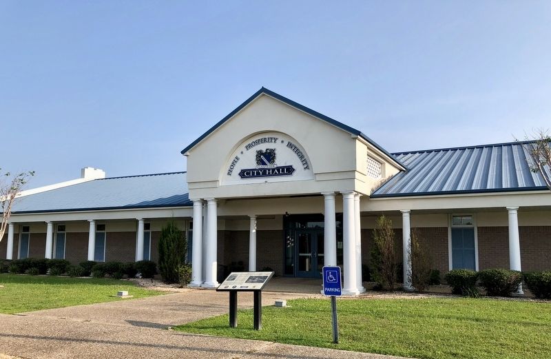
Location. 30° 23.674′ N, 88° 39.858′ W. Marker is in Gautier, Mississippi, in Jackson County. Marker can be reached from the intersection of U.S. 90 and Beasley Road, on the right when traveling west. Located in front of Gautier City Hall. Touch for map. Marker is at or near this postal address: 3330 US-90, Gautier MS 39553, United States of America. Touch for directions.
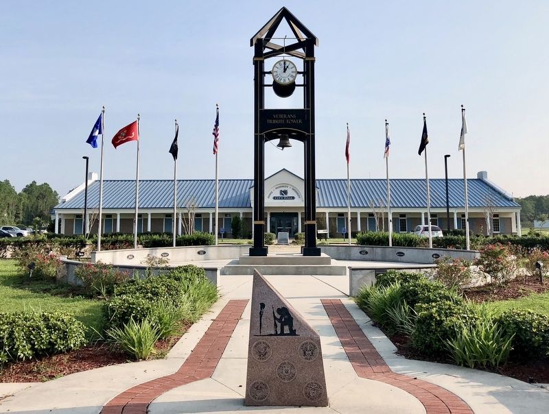
Other nearby markers. At least 8 other markers are within 3 miles of this marker, measured as the crow flies. Gautier War Memorial (a few steps from this marker); Saint Pierre's Episcopal Church (approx. one mile away); Graveline Bayou Indian Mound (approx. 2.2 miles away); New Era Missionary Baptist Church (approx. 2.7 miles away); The Alfred E. Lewis House (approx. 2.7 miles away); Gautier School (approx. 2.9 miles away); McRae Family Cemetery (approx. 3 miles away); Twelve Oaks (approx. 3 miles away). Touch for a list and map of all markers in Gautier.
Regarding City of Gautier. The town name of Gautier is pronounced "GOH SHAY", from a family named Gautier from Lyon, France.
Also see . . . Wikipedia article on the city of Gautier. (Submitted on August 27, 2018, by Mark Hilton of Montgomery, Alabama.)
Credits. This page was last revised on June 4, 2023. It was originally submitted on August 27, 2018, by Mark Hilton of Montgomery, Alabama. This page has been viewed 817 times since then and 130 times this year. Photos: 1, 2, 3. submitted on August 27, 2018, by Mark Hilton of Montgomery, Alabama.


