Missionary Ridge in Chattanooga in Hamilton County, Tennessee — The American South (East South Central)
Stewart's Division
Breckinridge's Division

1. Stewart's Division Marker
Left of Stewart's Division,
Nov. 25, 1863.
Erected 1890 by the Chickamauga and Chattanooga National Military Park Commission. (Marker Number MT-362.)
Topics. This historical marker is listed in this topic list: War, US Civil. A significant historical date for this entry is October 25, 1863.
Location. Marker is missing. It was located near 35° 3.667′ N, 85° 14.776′ W. Marker was in Chattanooga, Tennessee, in Hamilton County. It was in Missionary Ridge. It was on North Crest Road north of Missionary Ridge, on the right when traveling north. Touch for map. Marker was in this post office area: Chattanooga TN 37404, United States of America. Touch for directions.

Regionally, this marker was in the American South, specifically in the Upper South, in Appalachia, and specifically in Southern Appalachia. Globally, it was in North America, the Western Hemisphere, the Western World, and the Anglosphere. Historically, it found itself in what was once the original Cherokee Nation, the territory of the Mississippian Culture, one of the Confederate States of America, and the Antebellum South.
Other nearby markers. At least 8 other markers are within walking distance of this location: Van Den Corput's Georgia Battery (within shouting distance of this marker); Pettus' Brigade (within shouting distance of this marker); Walker's Division (about 500 feet away, measured in a direct line); Wilson's Brigade (about 700 feet away); Baxter's Tennessee Battery (approx. 0.2 miles away); Rowan's GA, formerly 3d Maryland Battery (approx. 0.2 miles away); Locomotive 4501 (approx. 0.2 miles away); Cumming's Brigade (approx. ¼ mile away). Touch for a list and map of all markers in Chattanooga.
More about this marker. According to the description information provided by the National Park Service, the marker is a, “D
this page online
Photographed by Dale K. Benington, July 12, 2018
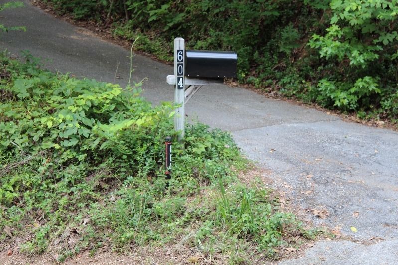
2. Stewart's Division Marker
View of the area where the missing Distance & Location Tablet was once located.
Photographed by Dale K. Benington, July 12, 2018
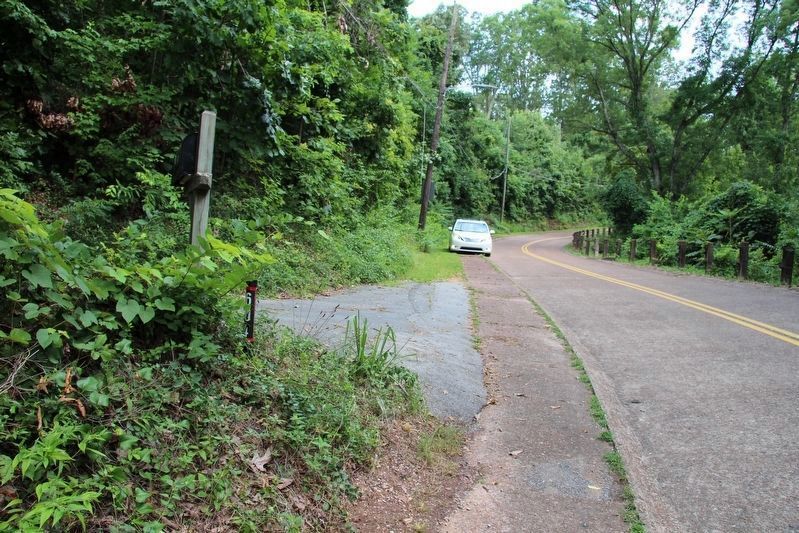
3. Stewart's Division Marker
View from the area where the missing tablet was located, looking south along North Crest Road.
Photographed by Dale K. Benington, July 12, 2018
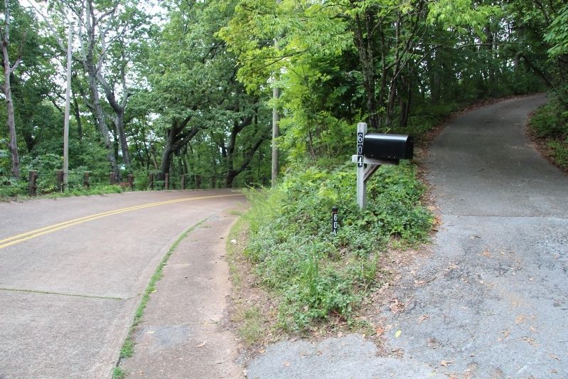
4. Stewart's Division Marker
View from the area where the missing tablet was located, looking north along North Crest Road.
Photographed by Dale K. Benington, July 28, 2017
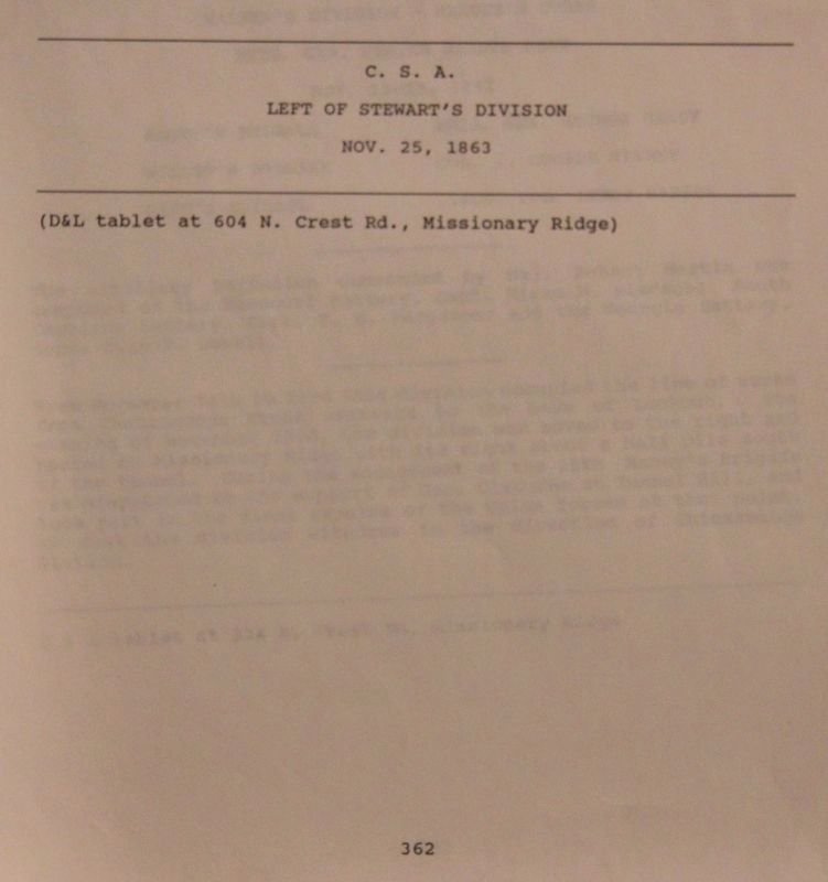
5. Stewart's Division Marker
View of the official park documentation for MT-362, taken from the National Park Service's "List of Classified Structures," kept on record in the offices at the National Military Park's Visitor Center.
Credits. This page was last revised on February 7, 2023. It was originally submitted on August 29, 2018, by Dale K. Benington of Toledo, Ohio. This page has been viewed 505 times since then and 13 times this year. Photos: 1, 2, 3, 4, 5. submitted on August 30, 2018, by Dale K. Benington of Toledo, Ohio.
